Map of Switzerland – Cities and Roads
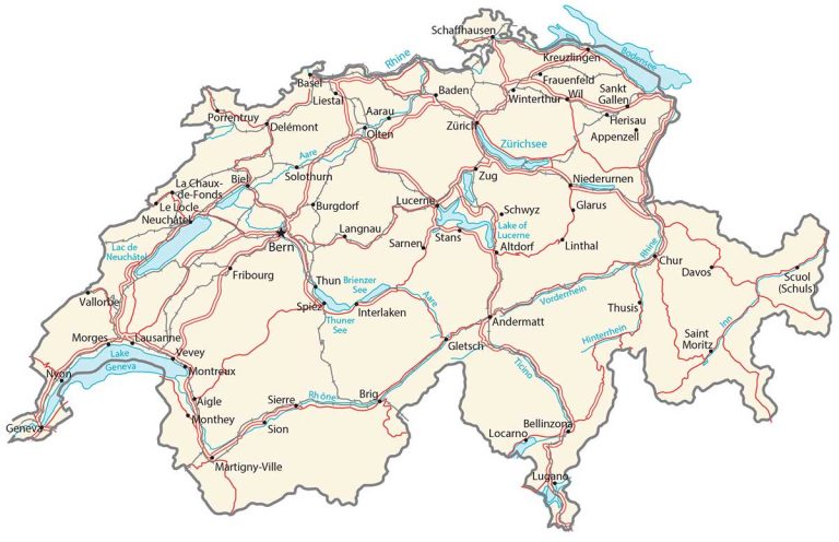
This map of Switzerland features major cities, rivers, and highways. It includes a satellite and elevation map to see its physical features. For example, it includes the Alps in the southern region and its vast number of lakes and rivers.
Switzerland map collection
You are free to use our Switzerland map for educational and commercial uses. Attribution is required. How to attribute?
About the map
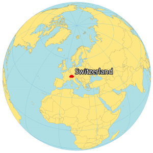
Switzerland is a landlocked country located in the heart of Europe. It borders 5 other countries including France to the west, Germany to the north, Austria and Liechtenstein to the east, and Italy to the south.
It’s known for its rugged and mountainous terrain with the Alps, which is the most extensive mountain range system spanning entirely in Europe. Even though Bern is the capital of Switzerland, Zurich, Geneva, Basel, and Lausanne are more populous.
The Swiss landscape is incredibly diverse, with the towering peaks of the Alps in the south, the rolling hills of the central plateau, and the flatlands of the north. The country is also home to numerous lakes, rivers, and forests. With a population of around 8.5 million people, the official languages of Switzerland are German, French, Italian, and Romansh.
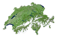
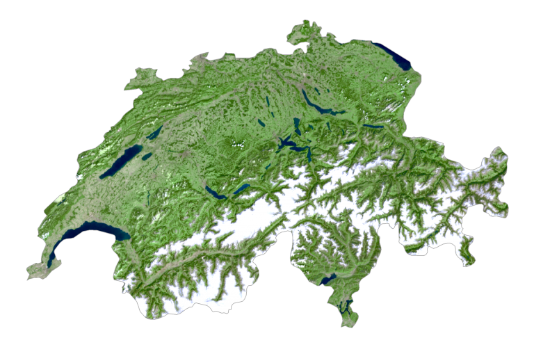
SATELLITE IMAGERY
Switzerland Satellite Map
Switzerland occupies an area of 41,285 square kilometers (15,940 sq mi), almost identical in size to the Netherlands. It has an extensive system of lakes such as Lake Geneva, Lake Neuchatel, and Lake Constance.
Next, the Alps span about 60% of Switzerland, and its snow-capped mountains are visibly picturesque in this satellite map of Switzerland. Approximately 31% of Switzerland is forested like the Po Basin mixed forest region that stretches into Italy.
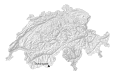
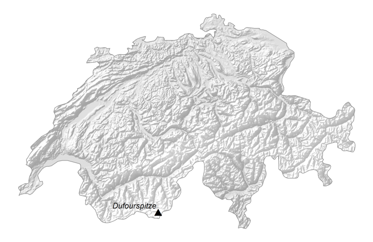
PHYSICAL MAP
Switzerland Elevation Map
The Alps dominate the south-central region of Switzerland. But the Jura Mountains also occupy the northwest of the country. Its highest point is Dufourspitze, standing 4,634 meters high. Otherwise, Switzerland is a mix of rolling hills, plateaus, and plains. It’s also known for its alpine valleys like Val d’Anniviers and Reichenbachtal.
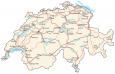
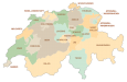
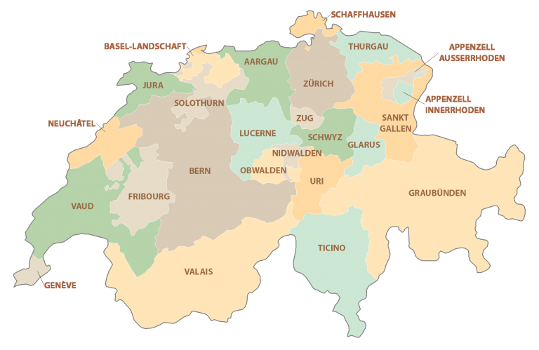
POLITICAL MAP
Switzerland Cantons Map
The Swiss Confederation is a federal state made up of 26 cantons, each with its own government. The cantons are the Swiss equivalent of states or provinces, and they retain a considerable degree of autonomy. The cantons are responsible for their own internal affairs, including healthcare, education, and policing.
Capital City
Bern
Major cities and towns
Basel
Bellinzona
Biel
Fribourg
Geneva
Lausanne
Lucerne
Lugano
St. Gallen
Thun
Winterthur
Zürich
Cities, towns and villages
Aarau
Aigle
Altdorf
Andermatt
Appenzell
Badent
Brig
Burgdorf
Chur
Davos
Delémont
Frauenfeld
Glarus
Gletsch
Herisau
Interlaken
Kreuzlingen
La Chaux de-Fonds
Langnau
Le Locle
Liestal
Linthal
Locarno
Martigny-Ville
Monthey
Montreux
Morges
Neuchâtel
Niederurnen
Nyor
Olten
Porrentruy
Saint Moritz
Sarnen
Schaffhausen
Schwyz
Scuol (Schuls)
Sierre
Sion
Solothurn
Spiez
Stans
Vallorbe
Vevey
Wil
Zug
Lakes, rivers and water features
Aare River
Hinterrhein River
Inn River
Lac de Neuchâtel
Lake Brienz (Brienzersee)
Lake Constance (Bodensee)
Lake Geneva
Lake of Lucerne
Lake Thun (Thunersee)
Lake Zurich (Zürichsee)
Rhine River
Rhône River
Ticino River
Vorderrhein River