Corral del Cuartell
Corral del Cuartell is a locality in Alicante. Corral del Cuartell is situated nearby to the localities la Cairola and Solana del Garrofer.Notable Places in the Area
Church of Sant Cristòfol
Church
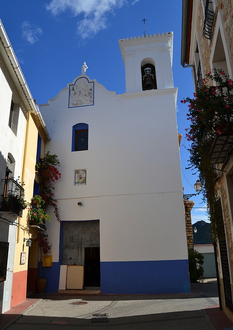
Photo: Joanbanjo, CC BY-SA 3.0.
Church of Sant Cristòfol is situated 2½ km northwest of Corral del Cuartell.
Localities in the Area
La Vall d'Ebo
Village
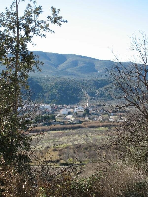 La Vall d'Ebo is a municipality in the province of Alicante and autonomous community of Valencia, Spain.
Benialí
Village
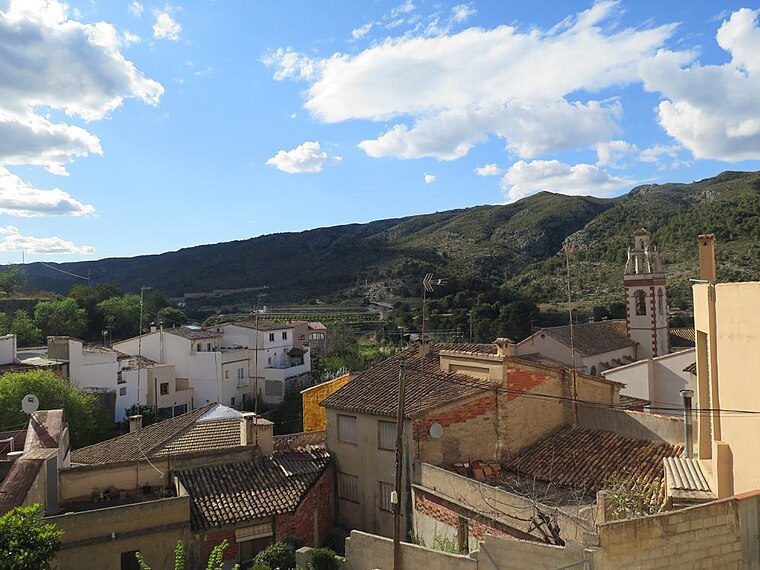
Photo: Víctor Eclipsado, CC BY-SA 4.0.
Benialí is a village situated 4 km west of Corral del Cuartell.
Benitaia
Hamlet
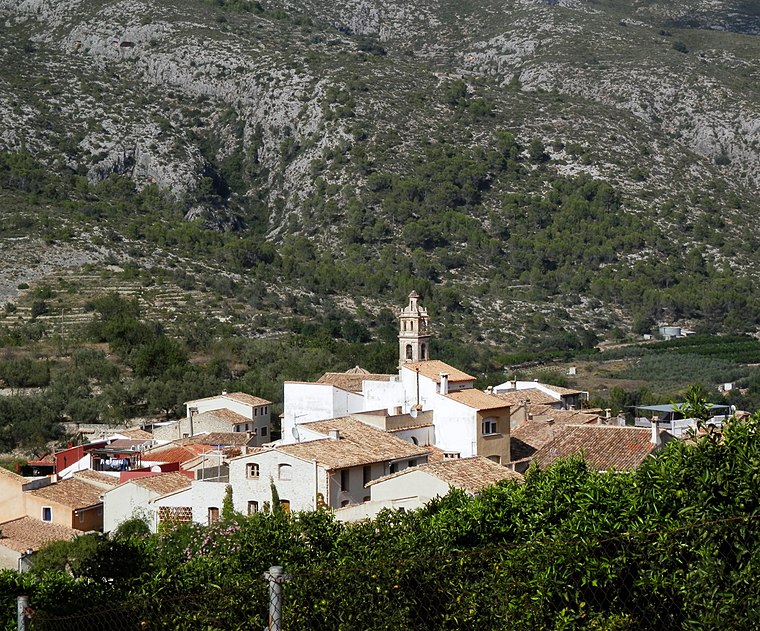
Photo: Joanbanjo, CC BY-SA 3.0.
Benitaia is a hamlet situated 4½ km west of Corral del Cuartell.
Corral del Cuartell
- Type: Locality
- Location: Alicante, Valencian Community, Eastern Spain, Spain, Iberia, Europe
- View on OpenStreetMap
Latitude
38.81434° or 38° 48' 52" northLongitude
-0.17465° or 0° 10' 29" westOpen Location Code
8CCXRR7G+P4OpenStreetMap ID
node 5079818028OpenStreetMap Feature
place=localityCorral del Cuartell Satellite Map
© OpenStreetMap, Mapbox and Maxar
In the Area
Corral del Cuartell is situated close to the localities Barranc de Turrubanes and Mallada Fonda.
Localities
- Pla de CorraletsLocality
- els OlivaretsLocality
- Racó de les ParresLocality
- Tossal de la CreuLocality
- les FoietesLocality
- els PenyalsLocality
Landmarks
- Cova del RullCave
- Abrigo de les TorrunadesCave
- Tossal PelatHill
- Caseta del Domingo i l'AntoniRuins
- Bassa de BenirramaLake
- Tossal de la CreuHill
Popular Destinations in Alicante
I travel not to go anywhere, but to go. I travel for travel's sake. The great affair is to move. - Robert Louis Stevenson
Escape to a Random Place
Discover the localities Obaga de Juclar in Canillo, Andorra and Champagne Bay in Dominica.
About Mapcarta. Thanks to Mapbox for providing amazing maps. Data © OpenStreetMap contributors and available under the Open Database License. Text is available under the CC BY-SA 4.0 license, excluding photos, directions and the map. Photo: Poco a poco, CC BY 3.0.