


Minor mag. 2.4 earthquake - 28 km northeast of Hinatuan, Surigao del Sur, Caraga, Philippines, on Sunday, Nov 22, 2020 8:08 pm (GMT +8) -
This quake was likely an aftershock of the 6.0 quake Philippine Sea, 19 km southeast of Marihatag, Philippines, Nov 16, 2020 6:37 am (GMT +8), which had occurred 7 days earlier.
Quake Data | Interactive map | User Reports | Earlier quakes here | Quakes in or near the Philippines | Caraga | Davao | National Capital Region
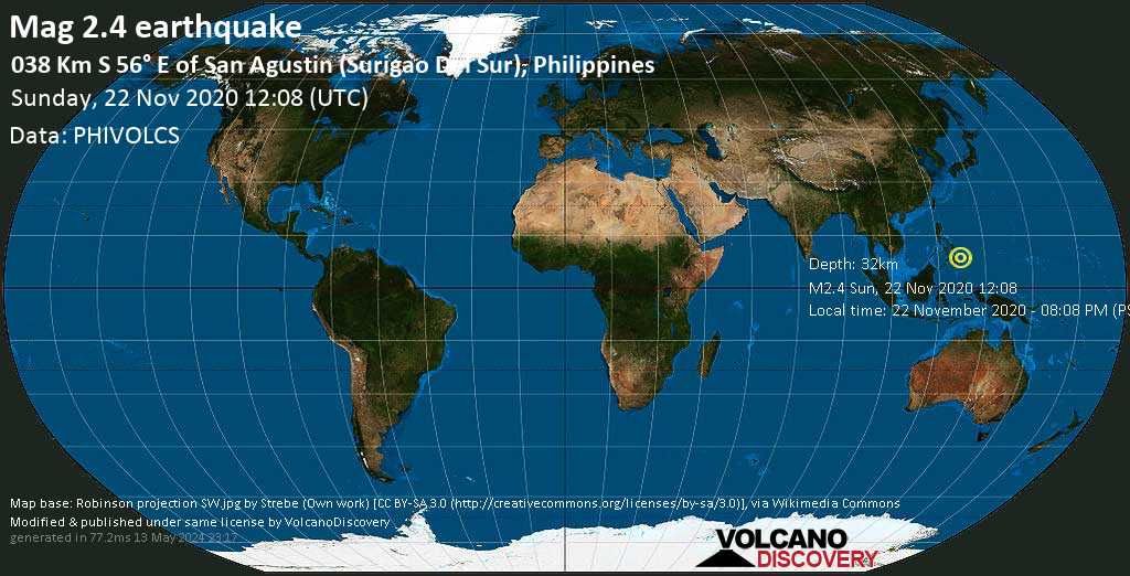
Minor magnitude 2.4 earthquake at 32 km depth
22 Nov 12:20 UTC: First to report: PHIVOLCS after 12 minutes.
23 Nov 10:30: Magnitude recalculated from 2.3 to 2.4. Hypocenter depth recalculated from 21.0 to 32.0 km (from 13 to 19.9 mi). Epicenter location corrected by 8 km (4.9 mi) towards ESE.
23 Nov 10:30: Magnitude recalculated from 2.3 to 2.4. Hypocenter depth recalculated from 21.0 to 32.0 km (from 13 to 19.9 mi). Epicenter location corrected by 8 km (4.9 mi) towards ESE.
Local time at epicenter: Sunday, Nov 22, 2020 8:08 pm (GMT +8)
Magnitude: 2.4
Depth: 32.0 km
Epicenter latitude / longitude: 8.55°N / 126.51°E
Antipode: 8.55°S / 53.49°W
Nearest volcano: Leonard Range (142 km / 88 mi)
Nearby towns and cities:
28 km (17 mi) NE of Hinatuan (Caraga) (pop: 10,100) --> See nearby quakes!
39 km (24 mi) ENE of Tagbina (Caraga) (pop: 10,700) --> See nearby quakes!
43 km (27 mi) NNE of Bislig City (Caraga) (pop: 67,600) --> See nearby quakes!
62 km (38 mi) E of San Francisco (Agusan del Sur, Caraga) (pop: 18,500) --> See nearby quakes!
66 km (41 mi) E of Bah-Bah (Agusan del Sur, Caraga) (pop: 28,600) --> See nearby quakes!
68 km (42 mi) SSE of Tandag (Caraga) (pop: 29,000) --> See nearby quakes!
71 km (44 mi) NE of Bunawan (Agusan del Sur, Caraga) (pop: 15,500) --> See nearby quakes!
85 km (53 mi) ESE of Bayugan (Caraga) (pop: 40,600) --> See nearby quakes!
96 km (60 mi) NNE of Monkayo (Davao) (pop: 51,400) --> See nearby quakes!
903 km (561 mi) SE of Manila (National Capital Region) (pop: 1,600,000) --> See nearby quakes!
Weather at epicenter at time of quake:
Light Rain 28°C (82 F), humidity: 78%, wind: 4 m/s (8 kts) from N
Primary data source: PHIVOLCS (Philippine Institute of Volcanology and Seismology)
Light Rain
28°C (82 F), humidity: 78%, wind: 4 m/s (8 kts) from NEstimated released energy: 2.5 x 10⁸ joules (69.8 kilowatt hours) | about seismic energy
Data for the same earthquake reported by different agencies
Info: The more agencies report about the same quake and post similar data, the more confidence you can have in the data. It takes normally up to a few hours until earthquake parameters are calculated with near-optimum precision.
| Mag. | Depth | Location | Source |
| 2.4 | 32 km | 038 Km S 56° E of San Agustin (Surigao Del Sur), Philippines | PHIVOLCS |
User reports for this quake
At magnitude 2.4, this quake might have been felt very close to the epicenter and under calm conditions.User reports estimate the perceived ground shaking intensity according to the MMI (Modified Mercalli Intensity) scale.
Earlier earthquakes in the same area
Click here to search our database for earlier earthquakes in the same area since 1900!