Tahoma National Cemetery
Tahoma National Cemetery is a United States National Cemetery in unincorporated King County, Washington. It encompasses 158.3 acres, and as of the end of 2019, had over 60,000 interments, compared to the end of 2008 with 23,479 interments, and 15,924 interments in 2005.Photo: Jmabel, CC BY-SA 3.0.
- Opening hours: 6:00 AM—sunset
- Type: Cemetery
- Description: military cemetery in Kent, Washington
- Address: 18600 SE 240th Street, Kent, WA 98042
Notable Places in the Area
Tahoma Senior High School
School

Photo: Wikimedia, CC BY-SA 3.0.
Tahoma High School is a public high school serving grades nine through twelve, and is the only high school in the Tahoma School District. Tahoma Senior High School is situated 1,500 feet southwest of Tahoma National Cemetery.
Lake Youngs
Reservoir

Photo: Myasuda, CC BY-SA 4.0.
Lake Youngs is a reservoir in King County, Washington, United States. Lake Youngs is situated 2 miles northwest of Tahoma National Cemetery.
Kentwood High School
School
Kentwood High School is a high school in Covington, Washington. Kentwood High School is situated 2 miles southwest of Tahoma National Cemetery.
Localities in the Area
Covington
Town
Covington is a city in King County, Washington, United States. Covington is situated 2 miles south of Tahoma National Cemetery.
Maple Valley
Town
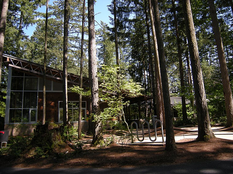
Photo: Jmabel, CC BY-SA 3.0.
Maple Valley is a city in King County, Washington, United States. Maple Valley is situated 3 miles southeast of Tahoma National Cemetery.
Fairwood
Suburb
Fairwood is an unincorporated community and census-designated place in King County, Washington, United States. Fairwood is situated 4½ miles northwest of Tahoma National Cemetery.
Tahoma National Cemetery
- Categories: military cemetery, United States national cemetery and burial
- Location: King County, Puget Sound, Washington, Pacific Northwest, United States, North America
- View on OpenStreetMap
Latitude
47.39239° or 47° 23' 33" northLongitude
-122.09617° or 122° 5' 46" westElevation
512 feet (156 metres)Open Location Code
84VV9WR3+XGOpenStreetMap ID
way 164773440OpenStreetMap Feature
landuse=cemeteryGeoNames ID
8123893Wikidata ID
Q7675630Tahoma National Cemetery Satellite Map
© OpenStreetMap, Mapbox and Maxar
Also Known As
- Japanese: タホマ国立墓地
In the Area
Localities
- Tahoma CrestNeighborhood
- Heritage GroveNeighborhood
- Meridian HeightsHamlet
- WoodcreekNeighborhood, 1½ miles south
- FoxfieldNeighborhood, 1½ miles south
- Covington WoodsNeighborhood, 1½ miles south
Other Places
- Commital SheltersShelter
- MaintenanceBuilding, 330 feet east
- AdministrationBuilding, 340 feet southeast
- Commital SheltersShelter, 470 feet northeast
- Commital SheltersShelter, 600 feet east
- Public Information CenterBuilding, 1,500 feet south
Popular Destinations in King County
Escape to a Random Place
Discover the cemeteries Shell Cemetery in Arkansas, United States and Lake Worth Memory Gardens in Palm Beach County, United States.
About Mapcarta. Thanks to Mapbox for providing amazing maps. Data © OpenStreetMap contributors and available under the Open Database License. Text is available under the CC BY-SA 4.0 license, excluding photos, directions and the map. Description text is based on the Wikipdia page Tahoma National Cemetery. Photo: Jmabel, CC BY-SA 3.0.