 OFFICIAL SITE OF THE STATE OF NEW JERSEY
What are Overburdened Communities (OBC)?
NJ’s EJ Law creates a definition to screen populations who are potentially in need of environmental justice.
Overburdened Communities (OBC)
The State has updated mapping of New Jersey’s OBCs, as required by the Act (see the Overburdened Communities tab above). Specifically, OBCs are block groups with:
- At least 35 percent low-income households; or
- At least 40 percent of the residents identify as minority or as members of a State recognized tribal community; or
- At least 40 percent of the households have limited English proficiency
Census block groups with zero population and located immediately adjacent to an OBC are labeled as “adjacent.” Existing or proposed facilities located in adjacent block groups may be required to conduct further analysis in accordance with the Environmental Justice Rules.
Data from the 5 Year American Community Survey (2018 to 2022)
| Overburdened Community Criteria | Number of Block Groups | Population |
|---|---|---|
| xxxx Adjacent | 52 | 0 |
| xxxx Limited English | 0 | 0 |
| xxxx Low Income | 204 | 296,799 |
| xxxx Low Income & Limited English | 2 | 787 |
| xxxx Low Income & Minority | 1,070 | 1,557,772 |
| xxxx Low Income, Minority, & Limited English | 114 | 165,707 |
| xxxx Minority | 2,101 | 3,034,009 |
| xxxx Minority & Limited English | 32 | 41,992 |
| Total | 3,575 | 5,097,065 |
List of Overburdened Communities
This Excel spreadsheet provides the list of overburdened communities, the criteria each block groups meets, and the municipality for which the over burdened community is designated in accordance with the New Jersey Environmental Justice Law, N.J.S.A. 13:1D-157 .
EJMAP
DEP has updated EJMAP with new stressor data. Any permit application submitted on or after 1/31/24 must use the new stressor data layer for analysis. The tool will default to the revised layer and the original layer will remain as an archived layer.
To learn what stressor data was updated in EJMAP, visit the 2024 EJMAP Data Update. For more information on the previous round of EJMAP updates, view the 2023 EJMAP Update Notice.
This tool provides the public a visualization of OBC locations throughout the State, where existing facilities regulated under the law are located and what existing environmental and public health stressors currently impact these OBCs. Watch this tutorial to learn more about EJMAP.
For details of underlying calculations behind EJMAP, please read the accompanying EJMAP Technical Guidance .
Feedback on the tool and technical guidance, particularly related to the structure and functionality of the tool itself, can be shared to EJMAPFeedback@dep.nj.gov for consideration.
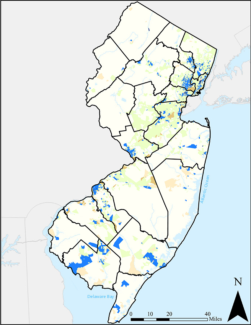
PDF Maps of Municipalities
The 338 simple, municipal specified maps identified the overburdened communities under the New Jersey Environmental Justice Law. There is a map for each municipality for which any part of the municipality has been designated an overburdened community pursuant to the act.
GIS Layer
This GIS Layer is a downloadable graphic information system (GIS) layer identifying the overburdened communities under the New Jersey Environmental Justice Law.
OBC Technical Notes and Other Resources
For more information about the calculation of Overburdened Communities and their municipal designations, please read the Technical Notes for an overview.
Frequently Asked Questions (FAQ) about the notification to municipalities regarding Overburdened Communities (OBCs) as defined by New Jersey’s Environmental Justice Law.
PDF Maps of Municipalities
- Alpine Boro
- Bergenfield Boro
- Bogota Boro
- Carlstadt Boro
- Cliffside Park Boro
- Closter Boro
- Cresskill Boro
- Demarest Boro
- Dumont Boro
- East Rutherford Boro
- Edgewater Boro
- Elmwood Park Boro
- Emerson Boro
- Englewood City
- Englewood Cliffs Boro
- Fair Lawn Boro
- Fairview Boro
- Fort Lee Boro
- Garfield City
- Hackensack City
- Harrington Park Boro
- Hasbrouck Heights Boro
- Haworth Boro
- Ho-Ho-Kus Boro
- Leonia Boro
- Little Ferry Boro
- Lodi Boro
- Lyndhurst Boro
- Mahwah Twp
- Maywood Boro
- Moonachie Boro
- New Milford Boro
- North Arlington Boro
- Northvale Boro
- Norwood Boro
- Old Tappan Boro
- Oradell Boro
- Palisades Park Boro
- Paramus Boro
- Ramsey Boro
- Ridgefield Boro
- Ridgefield Park Village
- Ridgewood Village
- River Edge Boro
- River Vale Twp
- Rochelle Park Twp
- Rockleigh Boro
- Rutherford Boro
- Saddle Brook Twp
- South Hackensack Twp
- Teaneck Twp
- Tenafly Boro
- Teterboro Boro
- Upper Saddle River Boro
- Waldwick Boro
- Wallington Boro
- Westwood Boro
- Wood Ridge Boro
- Beverly City
- Bordentown Twp
- Burlington City
- Burlington Twp
- Chesterfield Twp
- Cinnaminson Twp
- Delanco Twp
- Delran Twp
- Eastampton Twp
- Edgewater Park Twp
- Fieldsboro Boro
- Florence Twp
- Hainesport Twp
- Lumberton Twp
- Mansfield Twp
- Maple Shade Twp
- Mount Holly Twp
- Mount Laurel Twp
- New Hanover Twp
- North Hanover Twp
- Palmyra Boro
- Pemberton Boro
- Pemberton Twp
- Riverside Twp
- Springfield Twp
- Westampton Twp
- Willingboro Twp
- Wrightstown Boro
- Bellmawr Boro
- Berlin Boro
- Berlin Twp
- Brooklawn Boro
- Camden City
- Cherry Hill Twp
- Chesilhurst Boro
- Clementon Boro
- Collingswood Boro
- Gloucester City
- Gloucester Twp
- Haddon Twp
- Hi Nella Boro
- Lawnside Boro
- Lindenwold Boro
- Magnolia Boro
- Merchantville Boro
- Mount Ephraim Boro
- Pennsauken Twp
- Pine Hill Boro
- Runnemede Boro
- Somerdale Boro
- Stratford Boro
- Voorhees Twp
- Waterford Twp
- Winslow Twp
- Woodlynne Boro
- Carteret Boro
- Dunellen Boro
- East Brunswick Twp
- Edison Twp
- Highland Park Boro
- Jamesburg Boro
- Metuchen Boro
- Middlesex Boro
- Milltown Boro
- Monroe Twp
- New Brunswick City
- North Brunswick Twp
- Old Bridge Twp
- Perth Amboy City
- Piscataway Twp
- Plainsboro Twp
- Sayreville Boro
- South Amboy City
- South Brunswick Twp
- South Plainfield Boro
- South River Boro
- Spotswood Boro
- Woodbridge Twp
- Aberdeen Twp
- Asbury Park City
- Belmar Boro
- Bradley Beach Boro
- Colts Neck Twp
- Eatontown Boro
- Freehold Boro
- Freehold Twp
- Hazlet Twp
- Holmdel Twp
- Howell Twp
- Keansburg Boro
- Keyport Boro
- Long Branch City
- Manalapan Twp
- Marlboro Twp
- Matawan Boro
- Middletown Twp
- Millstone Twp
- Neptune City Boro
- Neptune Twp
- Ocean Twp
- Red Bank Boro
- Tinton Falls Boro
- Boonton Town
- Butler Boro
- Chatham Twp
- Dover Town
- Florham Park Boro
- Hanover Twp
- Jefferson Twp
- Lincoln Park Boro
- Madison Boro
- Mine Hill Twp
- Montville Twp
- Morris Twp
- Morristown Town
- Mount Olive Twp
- Parsippany Troy Hills Twp
- Randolph Twp
- Rockaway Boro
- Rockaway Twp
- Roxbury Twp
- Victory Gardens Boro
- Wharton Boro