
Santa Barbara Residents Evacuate from Downtown Homes as February Storm Floods Waterways, Roads, and Airport
Governor Gavin Newsom Declares State of Emergency in Santa Barbara County Due to Major Storm
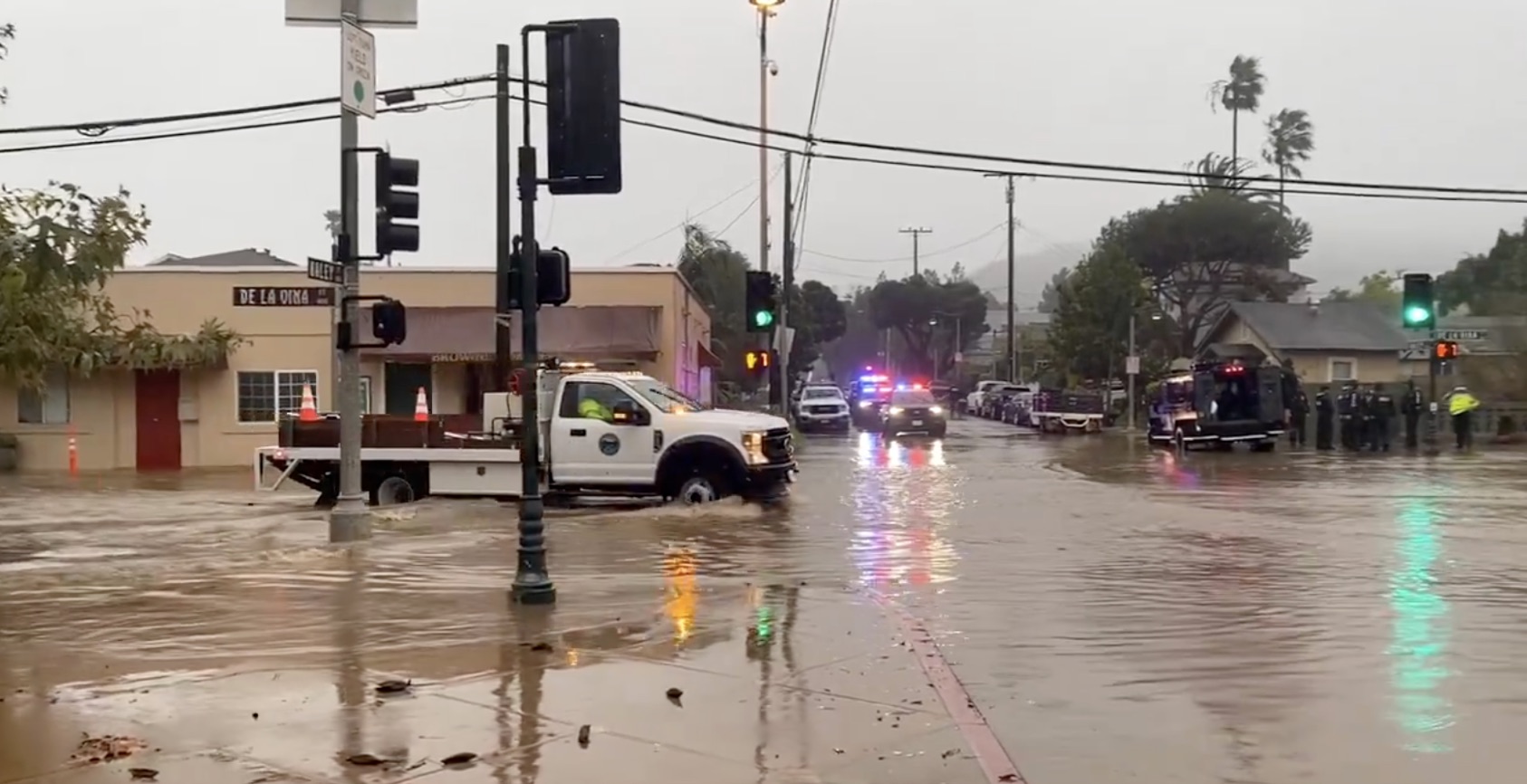
By early Sunday evening, Governor Gavin Newsom announced a “state of emergency” in Santa Barbara County and seven other California counties, and nonstop rain forced the closure of the Santa Barbara Airport due to flooding, along with several roadways and streets in Santa Barbara County. As the sun was setting, Santa Barbara Police officers were going door-to-door to evacuate residences along De la Vina Street near Cota and Haley Streets, where Mission Creek was rushing and overflowing in the lower-lying streets in the area.
Santa Barbara Airport announced via social media that it was closed as of 5:30 p.m. on Sunday due to “flooding on the airfield.” All commercial flights have been canceled, all aviation operations paused and the terminal is closed until further notice. The airport will provide updates on its website.
In downtown Santa Barbara, Loma Alta remains closed between Cliff and Shoreline Drives; the State Street underpass is closed in both directions, as is the intersection of State and Mission Streets.
Several closures were announced in the county due to rain, flooding, and mudslides, including Channel Drive from Hill Road to Butterfly Lane in Montecito; Camino Campana near Cathedral Oaks; and Refugio Road from Calle Real to West Camino Cielo near Gaviota.
In northern parts of the county, Alisal Road is closed from Highway 101 to Solvang city limits; Foxen Canyon Road is closed a half-mile north of State Route 154, and North Refugio Road is closed four miles south of State Route 246. Caltrans reports Highway 1 is closed from Black Road to Solomon Road in near Santa Maria due to roadway flooding. There is no estimate for reopening.
In the mountains of the South Coast, East Camino Cielo is closed from Painted Cave to Gibraltar Road, as is the extent of Gibraltar Road north of Santa Barbara city limits.
California Highway Patrol, Caltrans, and Santa Barbara County fire and law enforcement were busy throughout the afternoon, with downed trees and power lines reported all over the county.
Downed trees temporarily closed roadways near New Cuyama; State Route 135 at Batchelder Road; State Route 246 in Buellton; on Highway 101 near State Route 154; Storke Road in Goleta; Santa Rosa Road in Buellton; and the Cabrillo Boulevard on-ramp in Santa Barbara.
Multiple vehicle collisions were reported, including one crash over the side of Highway 101 near the Nojoqui Summit, where a single vehicle reportedly flipped off the freeway and into the creek. Another single vehicle crash, also near the Nojoqui Summit, was reported just 30 minutes earlier. No serious injuries were reported.
All previous evacuation orders will be effective through Monday, and a flash flood warning in parts of the county will be effective until midnight. Updates will be posted at ReadySBC.org.
Residents in all areas of Santa Barbara County should:
- Stay away from burn scars, rivers, creeks, and other low-lying and flood-prone locations. Those living in areas prone to flooding should stay aware of changing conditions and be prepared to take protective actions, such as evacuating and sheltering in place.
- Roads impacted during previous storms may experience flooding and mud and rock slides. Communities along these roads may become isolated.
- Beaches, bluffs, and the Harbor area may be impacted. This storm may trigger coastal flooding and erosion along the bluffs throughout the county. Residents and visitors are advised to stay away from beach areas.
- Strong winds can cause power outages. Charge important electronic devices and be prepared in case an unexpected power outage occurs.
- Secure belongings that could get impacted by strong winds such as outdoor furniture.
Resources and Information:

- An Evacuation Shelter has been opened at the Wake Center, located at 300 North Turnpike Road, Santa Barbara, CA, 93111.
- Planning and Development’s Winter Storm Damage Permitting Information webpage: Winter Storm Damage Permitting Information | Santa Barbara County, CA – Official Website
- For animal information, call Santa Barbara County Animal Services at (805) 681-4332
- For additional information, contact the Santa Barbara County Call Center at (833) 688-5551.
- For status of school operations, please contact your school site administrators.
- Storm readiness tips: http://www.readysbc.org/StormReadiness
- For status of highways: https://roads.dot.ca.gov/roadscell.php
- For status of County roadways: https://app.smartsheet.com/b/publish?EQBCT=eb48d06b3819475080901d530fd35a3e
- For County sandbag filling locations: https://www.countyofsb.org/2219/Sandbags
- Sign up for ReadySBC Emergency Alerts: https://member.everbridge.net/index/892807736723794#/signup
For information related to the City of Santa Barbara’s storm response: https://santabarbaraca.gov/StormUpdate

Goleta State Beach was closed due to the storm on February 4, 2024. 
East Beach on February 4, 2024 
Bull dozers at the closed state beach in Carpinteria on February 4, 2024. 
Strong winds blow the palm trees during the storm in Santa Barbara on February 4, 2024. 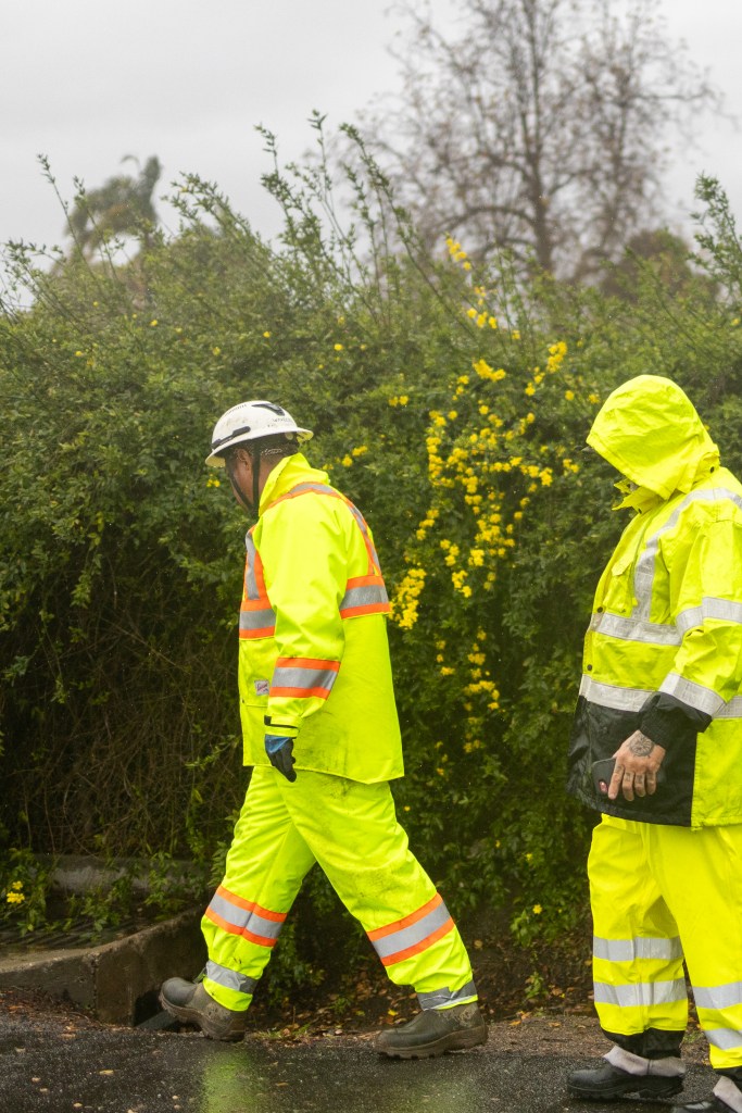
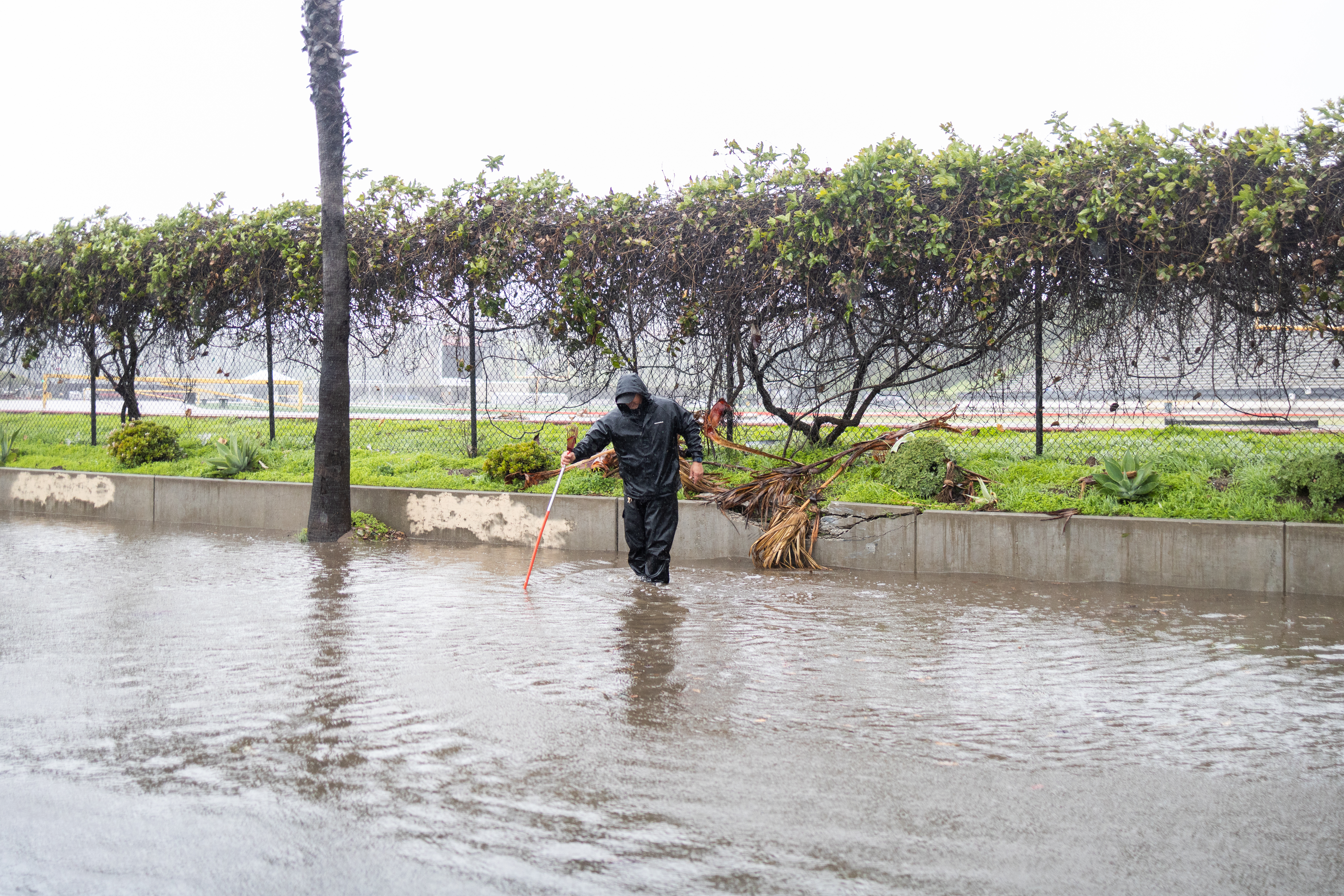
Checking drains in Montecito on February 4, 2024 
A tarped roof in Montecito on February 4, 2024. 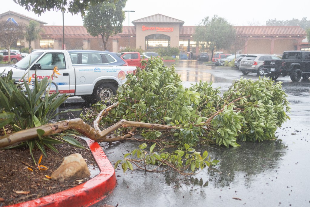
A fallen tree in the Albertsons parking lot in Carpinteria on February 4, 2024. 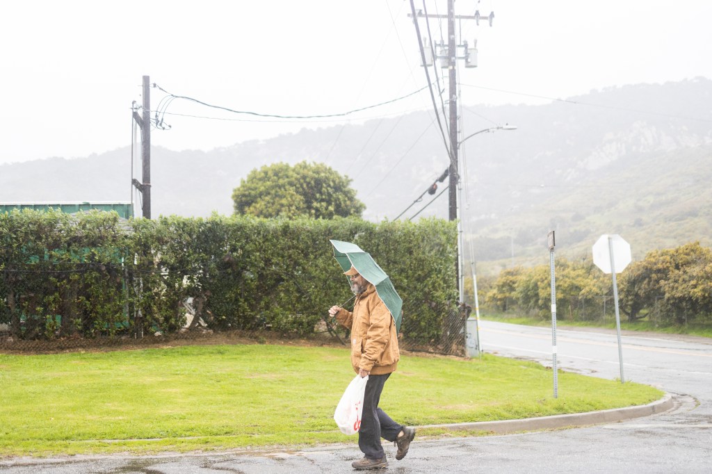
A person goes for a walk in Carpinteria during the storm on February 4, 2024. 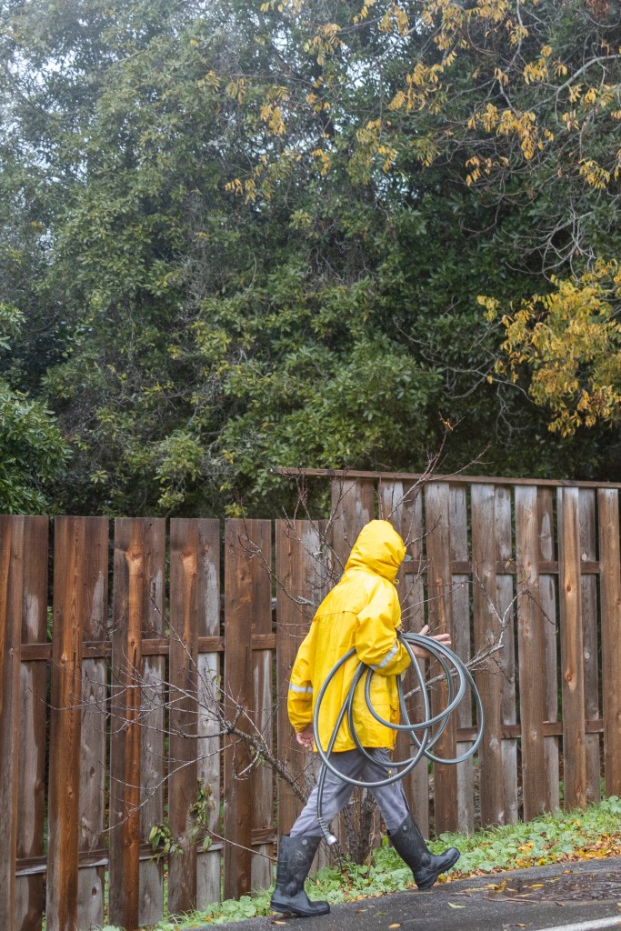
Montecito on February 4, 2024 
Walking in the rain on February 4, 2024 
Sandbags set up in Montecito on February 4, 2024. 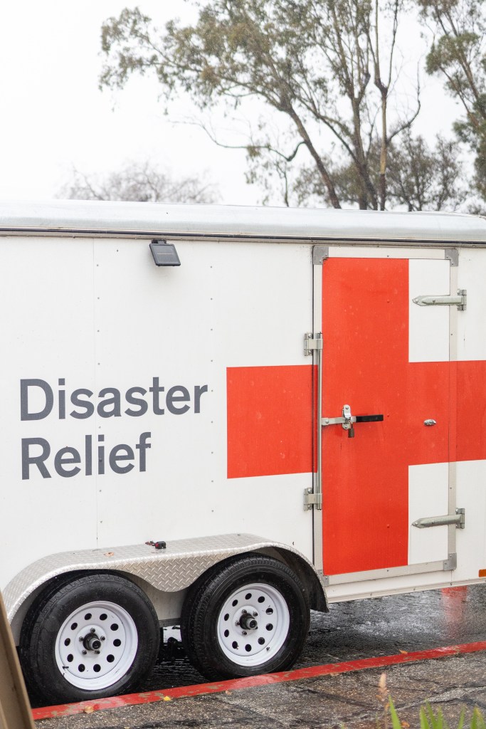
A Red Cross disaster relief trailer parked outside the Wake Center evacuation shelter on February 4, 2024. 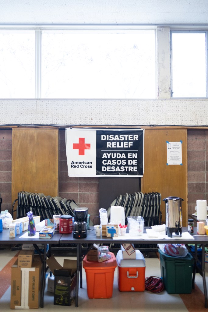
The evacuation shelter at the Wake Center on Turnpike Road during the storm on Sunday, February 4, 2024. 
Red Cross volunteers set up at the evacuation shelter at the Wake Center on Turnpike Road during the storm on Sunday, February 4, 2024. 
Red Cross volunteers set up a cot at the evacuation shelter at the Wake Center on Turnpike Road during the storm on Sunday, February 4, 2024. 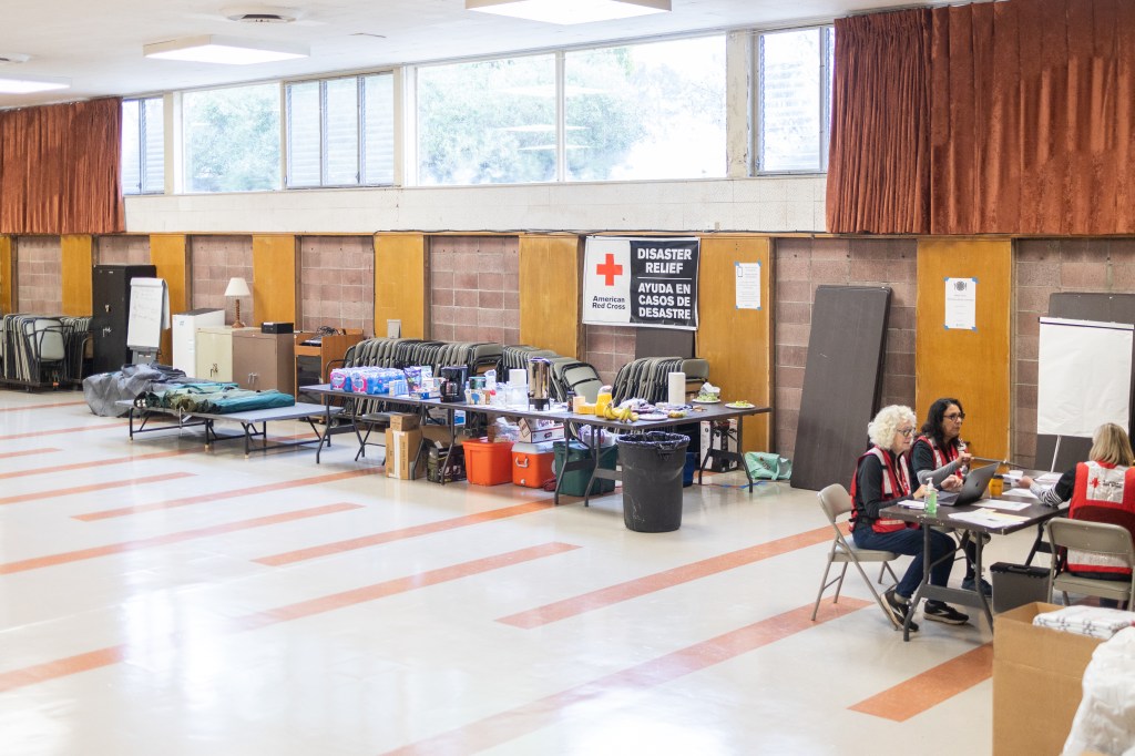
Red Cross volunteers at the evacuation shelter at the Wake Center on Turnpike Road during the storm on Sunday, February 4, 2024. 
Red Cross volunteers at the evacuation shelter at the Wake Center on Turnpike Road during the storm on Sunday, February 4, 2024.
Related Posts


Premier Events

Thu, May 02
5:00 PM
Santa Barbara
Things with Wings at Art & Soul

Sat, May 04
10:00 AM
Lompoc
RocketTown Comic Con 2024

Thu, May 02
5:00 PM
Santa Barbara
100th Birthday Tribute for James Galanos

Thu, May 02
5:00 PM
Santa Barbara
Meet the Creator of The Caregiver Oracle Deck

Fri, May 03
4:00 PM
Santa Barbara
Santa Barbara Fair+Expo “Double Thrill Double Fun”

Fri, May 03
8:00 PM
Santa barbara
Performance by Marca MP

Sat, May 04
10:00 AM
Solvang
Touch A Truck

Sat, May 04
11:00 AM
Santa Barbara
Mental Wellness Center’s 28th Annual Arts Faire

Sat, May 04
11:00 AM
Santa Barbara
Community History Day

Sat, May 04
3:00 PM
Solvang
The SYV Chorale Presents Disney Magic Concert

Sat, May 04
4:00 PM
Santa Barbara
Santa Barbara Treble Clef Women’s Chorus Spring Concert and Reception

Sat, May 04
7:00 PM
Santa Barbara
A Star Wars Cantina Celebration: Renegades, Rebels, and Rogues
Thu, May 02 5:00 PM
Santa Barbara
Things with Wings at Art & Soul
Sat, May 04 10:00 AM
Lompoc
RocketTown Comic Con 2024
Thu, May 02 5:00 PM
Santa Barbara
100th Birthday Tribute for James Galanos
Thu, May 02 5:00 PM
Santa Barbara
Meet the Creator of The Caregiver Oracle Deck
Fri, May 03 4:00 PM
Santa Barbara
Santa Barbara Fair+Expo “Double Thrill Double Fun”
Fri, May 03 8:00 PM
Santa barbara
Performance by Marca MP
Sat, May 04 10:00 AM
Solvang
Touch A Truck
Sat, May 04 11:00 AM
Santa Barbara
Mental Wellness Center’s 28th Annual Arts Faire
Sat, May 04 11:00 AM
Santa Barbara
Community History Day
Sat, May 04 3:00 PM
Solvang
The SYV Chorale Presents Disney Magic Concert
Sat, May 04 4:00 PM
Santa Barbara
Santa Barbara Treble Clef Women’s Chorus Spring Concert and Reception
Sat, May 04 7:00 PM
Santa Barbara
You must be logged in to post a comment.