A continent is defined as a large land mass on the Earth’s surface, typically separated or surrounded by a body of water. The seven-continent model (the most widely used) divides the world’s landmasses into seven continents: Asia, Africa, North America, South America, Antarctica, and Oceania. But which of them is the largest and the smallest?
We’ll take a look at their area sizes, as well as the population of people who live on each continent. Let’s jump into it.
The table below shows the continents of the world ranked by size and the percentage of land they cover.
| Continent | Size (km²) | Size (sq mi) | % land mass |
|---|---|---|---|
| Asia | 44.6 million | 17.2 million | 29.60% |
| Africa | 30.3 million | 11.7 million | 20.20% |
| North America | 24.2 million | 9.3 million | 16.40% |
| South America | 17.8 million | 6.8 million | 11.90% |
| Antarctica | 14.2 million | 5.5 million | 9.40% |
| Europe | 10 million | 3.9 million | 6.80% |
| Oceania | 8.5 million | 3.2 million | 5.70% |
1. Asia
Covering a whopping 44.6 million km² (17.2 million square miles), Asia is the world’s largest continent by far. In total, nearly 4.8 people live across the 48 countries. It’s home to almost 60% of the world’s population, which includes two of the world’s most populous countries (China and India).
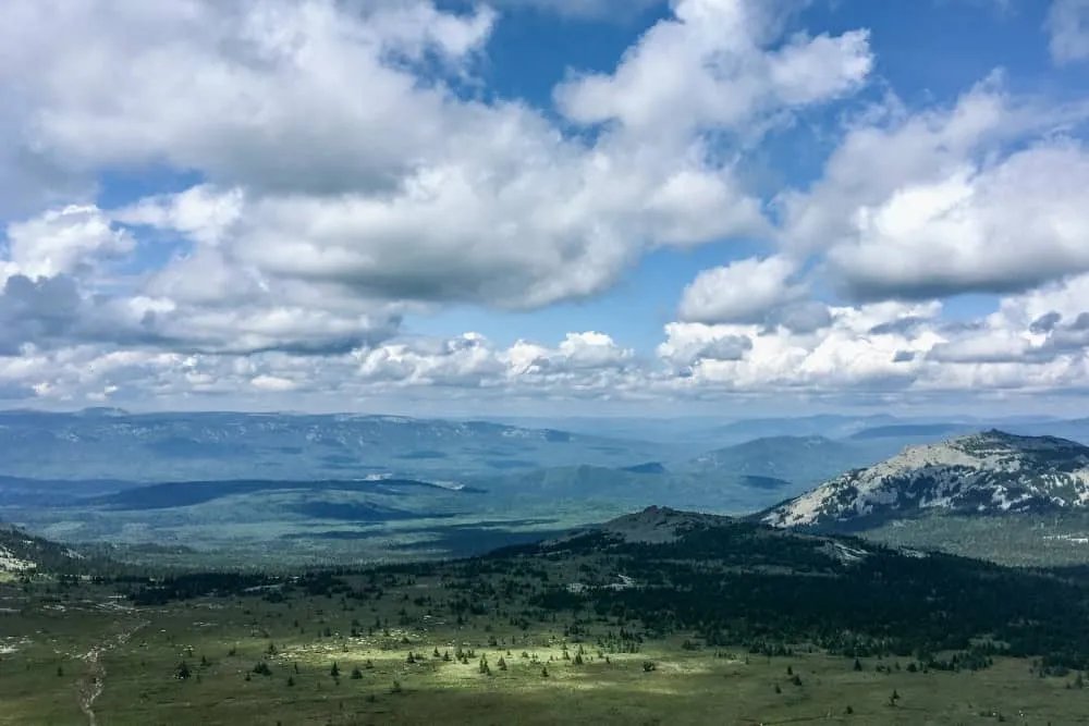
Asia is home to a beautifully diverse landscape. Lake Baikal in Siberia is the world’s deepest lake, while the Yangtze River is the third-longest river in the world. From rivers deep to mountains high, Asia is also home to some of the some of the tallest mountains in the world, such as Mount Everest and Kangchenjunga. Both mountains are in the Himalayan mountain range, which covers 1,550 kilometers (1,550 miles) across India, Nepal, Bhutan, Pakistan, and China.
Russia, the world’s largest country by land area, spans Eastern Europe and Northern Asia. 77% of the country lies in Asia, but the European portion of the country occupies 40% of Europe’s land mass.
Asia shares the landmass of the supercontinent Eurasia with Europe. Although there’s no physical or geographical divide between the two continents, most people use the Ural Mountains, the Caucasus Mountains, and the Caspian and Black Seas as guides for the border.
The continent has one of the most diverse climates in the world. While countries such as India and the United Arab Emirates are known for their heat, the likes of Russia are known for their freezing temperatures.
2. Africa
Africa has an area of 30.3 million km² (11.7 million square miles), which covers 20.2% of the Earth’s landmass. The so-called ‘Mother Continent’ is the oldest inhabited continent in the world and is often considered the cradle of humankind. Approximately 1.5 billion people live across its 54 countries.
The Sahara is the world’s largest hot desert and covers 8.5 million km² (3.3 million square miles). It covers nearly 25% of Africa’s land mass and is roughly around the size of Brazil, South America’s largest country. Africa’s rainforests have been affected by agriculture, forestry, and development. The majority of the continent’s rainforest can be found in Central Africa around the Congo River Basin.
Africa’s climate is hot mainly because of its position on the equator. The natural tilt of the Earth means equatorial countries are exposed to the sun year-round, so they experience higher temperatures. Africa is divided by the equator, the Tropic of Cancer, and the Tropic of Capricorn, which makes Africa the world’s most tropical continent.
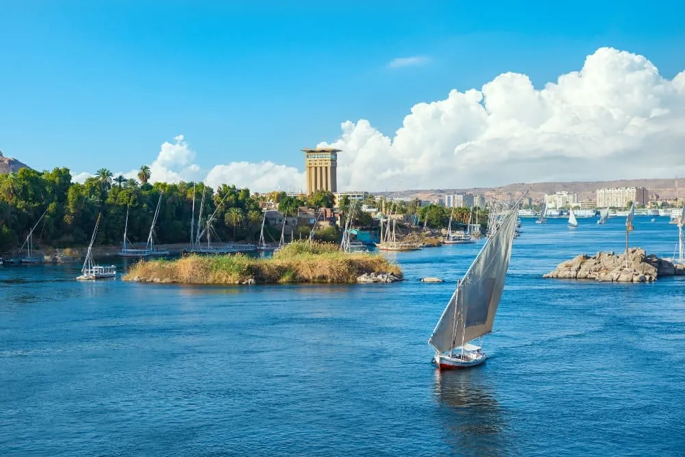
The Nile, the world’s longest river, snakes 6,650 km (4,132 miles) through North Africa. Another giant river is the Congo, which covers an impressive 4,700 km (2,920 miles) in Central Africa.
3. North America
North America is home to 23 countries, as well as Greenland, the world’s largest island. Canada covers 41% of North America and is the continent’s largest country by land area. Closely following in second place is the United States, which covers 39% of the land area. Greenland, Mexico, and Nicaragua are the next largest countries and territories, while the remaining countries take up less than 1% of North America’s landmass.
Most academics divide North America into five physical regions: the Canadian Shield, the mountainous west, the Great Plains, the varied eastern region, and the Caribbean. Culturally, North America is divided into Anglo-America and Latin America. Anglo-America includes the likes of Canada and the United States, while Mexico and the Caribbean fall under Latin America, which was influenced by the Spanish, Portuguese, and French empires.
North America has a population of over 600 million people, which accounts for 7.6% of the world’s population. Around half of the continent’s population lives in the United States, which is about ten times the population size of Canada (despite Canada’s greater land area).
The world’s largest freshwater lake, Lake Superior, covers 82,100 km² (31,700 square miles) in the United States. It’s one of North America’s five great lakes, which account for 21% of the world’s freshwater supply.
4. South America
South America is the fourth-largest continent, covering an area of 17.8 million km² (6.8 million square miles). South America has the world’s fifth-largest population (440 million people), approximately 5.5% of the global population.
South America has 12 countries, including Argentina, Brazil and Colombia. Most of these countries speak Spanish or Portuguese, a lasting reminder of South America’s long history of colonialism. Brazil, South America’s largest country, has a population of over 215 million. It’s the world’s fifth-largest country by land area and seventh-most populous.
The continent has three physical regions: coastal plains, river basins, and mountainous areas. South America’s mountains and coastal plains largely run from north to south, while the river basins generally flow from east to west. The Amazon, the world’s largest river by discharge, runs through three countries in South America. The continent is also home to the Amazon Rainforest, the world’s largest rainforest.
5. Antarctica
Despite covering 9.4% of Earth’s landmass, Antarctica is the only continent that doesn’t have permanent human habitation and no native population. Scientists and center staff do live in a few human settlements on a rotational basis, though. Typically, there are between 1,000 and 5,000 scientists based on Antarctica, depending on seasonality.
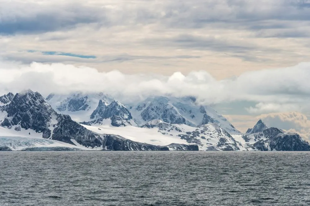
Antarctica covers 14.2 million km² (5.5 million square miles), which is approximately 20% of the Southern Hemisphere. The continent is almost entirely located in the Antarctic Circle, the most southerly of the Earth’s five major latitude circles. This region gets very little direct sunlight. In summer, the sun hangs low in the sky and barely rises for some months in winter. The frozen landscape has average annual temperatures that range from around −10°C (14°F) in coastal regions to as low as -60°C (-76°F) at the inner region’s highest points.
Did you know Antarctica is the windiest continent? A band of low pressure surrounds Antarctica, but the continent’s interior has high pressure. This combination creates dense, cold air that consistently blows over large regions, although the wind loses its power at the coast. Wind speeds of around 30 km/h (19 mph) can lead to drifting snow (moving snow below eye level), while wind speeds of over 60 km/h (37 mph) can lead to blowing snow, which can affect visibility.
Most people will rightly think that Antarctica is covered in snow and ice, but they may not know the continent is home to the largest single piece of ice on Earth. Antarctica’s Ice Sheet can even extend further than the continent if the snow and icy conditions are severe.
There’s little cloud over Antarctica due to the dry, subsiding air. Coastal areas tend to get cloudier than internal areas because of the low-pressure systems and the higher moisture levels. The coast also gets some rain, but most of the precipitation in Antarctica is snow or ice crystals.
6. Europe
Europe covers an area of 10 million km² (3.9 million square miles), which equates to approximately 6.8% of the Earth’s land mass. Despite having the third-largest population of the seven continents (around 740 million), Europe is only the sixth-largest continent.
There are 44 countries in Europe, plus dependencies and sovereign states like the Isle of Man, the Channel Islands, and Gibraltar. However, there have been multiple disputes over the years as to the regions of Europe. Greenland and Malta were once considered part of North America and Africa, respectively, and many people consider Central Europe a redundant concept.
7. Oceania/Australia
The term ‘Oceania’ covers the collection of islands that are located between the Americas and mainland Asia.
Oceania is the world’s smallest continent, with an area of 8.5 million km² (3.2 million square miles), which is approximately 5.7% of the Earth’s landmass. Of the 12 countries in Oceania, Australia accounts for most of the continent’s mass (around 62% of it).
The continent can be split into three groups: continental islands, high islands, and low islands. Australia, Zealandia, and New Guinea fall under the continental island category. They all have mountain ranges, while New Zealand and New Guinea also have volcanic landscapes. The high islands are a group of volcanic islands that were formed from repeated volcanic eruptions, which created a steep central peak. Oceania’s low islands (also called coral islands) were formed from the skeletons of marine animals. Some barely reach above the sea, hence their name.


