
Severe Thunderstorm and Flash Flood Threat in the East; Snow in the Rockies;
The storm system producing severe weather and isolated flash flooding will begin to weaken tonight. As the storm moves east, several chances for severe weather and heavy rain are possible from the Midwest and Ohio Valley to the Southern Plains, Lower Mississippi and Tennessee valley. Heavy snow continue to impact the Northern Rockies. Critical fire weather conditions persist in the Southern Plains Read More >
LOADING...
Click a location below for detailed forecast.
Last Map Update: Wed, May. 8, 2024 at 12:40:37 am CDT
Wednesday's Storm Chances
Thursday Storm Potential
Cooler This Weekend
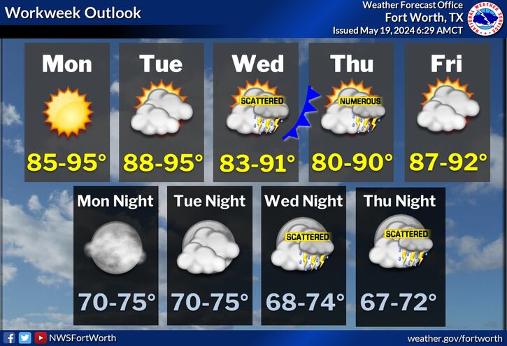
The unsettled pattern continues mid-week with additional storm chances Wednesday associated with an approaching dryline and passing cold front. Strong to severe thunderstorms and heavy rainfall will be possible at times. Large hail and damaging wind gusts are the main threats. Localized heavy rainfall may lead to flash flooding, especially over areas that are saturated from recent rainfall.
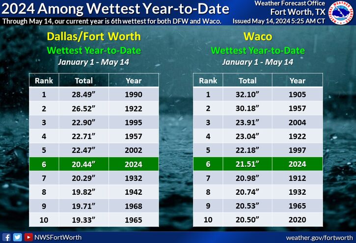
A cold front will push across North and Central Texas on Thursday providing a focus for thunderstorm development Thursday afternoon into early Thursday evening. Many will likely remain dry, especially north of I-20. A few severe thunderstorms capable of producing large hail and damaging wind gusts will be possible along/south of I-20. We will also need to monitor the potential for excessive rainfall and localized flash flooding since the bulk of this rain is expected to fall over already water-logged areas.
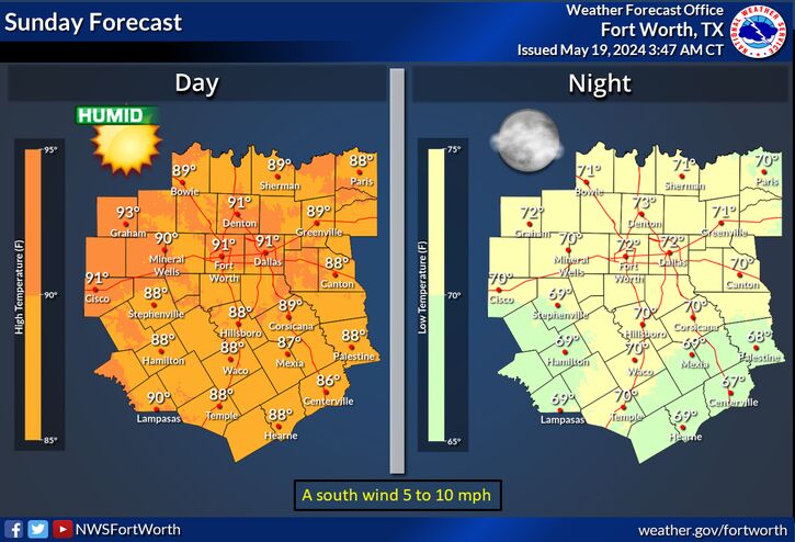
A Thursday cold front will drop temperatures to slightly below normal values for Mother's Day weekend, with highs mainly in the mid to upper 70s. A slight chance of storms returns Sunday, with better chances arriving early to mid next week.


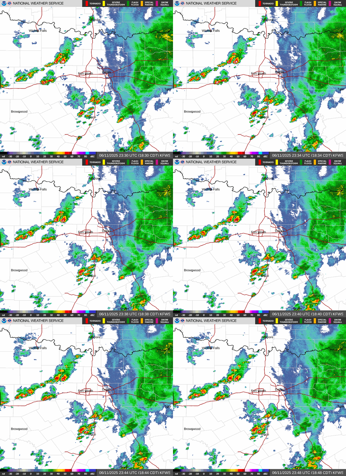 Local Radar
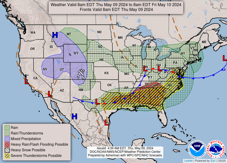 Weather Map
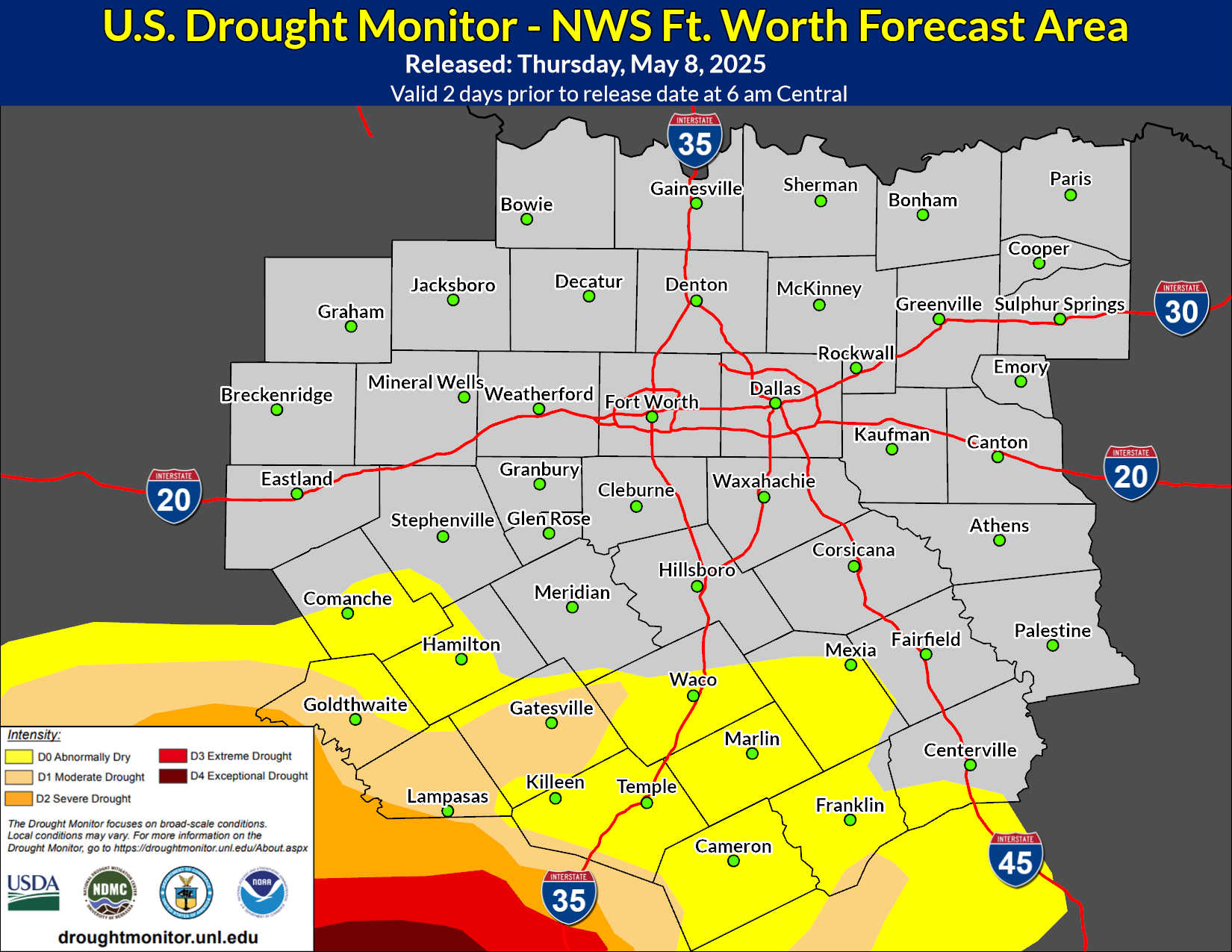 Drought Monitor
 Follow us on YouTube