Keller is on U.S. Highway 377 fifteen miles north of Fort Worth in northeast Tarrant County. Double Springs, two miles north and east of the present site of the community, was settled in the early 1850s, although pioneers had come to the area sooner. The Lonesome Dove Baptist Church sent some members, among them Daniel Barcroft and Permelia Allen, to establish the Mount Gilead Baptist Church in 1852. In 1879, as rumors spread that the Texas and Pacific Railway would push into the northern district of the county, residents began to move to a site nearer the route. They called their settlement Athol.
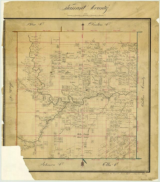
In 1848 Samuel Needham transferred to Isaac Roberts 640 acres of land for $200. The land contained both the settlements of Double Springs and the site of future Keller. In 1875 Roberts left some of his land to A. G. Roberts, who sold a right-of-way to the Texas and Pacific in 1882 for twenty-five dollars. In July 1881 H. W. Wood gave forty acres to the public for a townsite to be known as Athol. Hoping to have a station and a permanent stop on the line in Athol, the citizens, at the urging of a Texas Pacific foreman or official named Keller, agreed to name the town after him if the site became a stop on the line. The name Athol was dropped, and by 1882 the site was called Keller in abstracts. Tradition says that the train first came through Keller on May 9, 1881, although that date precedes the 1882 date when Roberts sold the right-of-way to the Texas Pacific. A post office was established as Keller in 1888. Cemetery records of Mount Gilead reveal that many settlers in the area were of Scots-Irish-English descent.
The town is in the Eastern Cross Timbers region, with the open prairie directly to the west. In 1716 the explorer Domingo Ramón referred to the region as Monte Grande and commented: "This day I travelled through a dense wooded region of oaks. The forest was so impenetrable that we could not pass through on horseback without cutting down some trees with axes and knives." The Texas settlers maintained their homes, grew gardens, and raised fruits such as peaches and pears. Hog raising was especially good in the area because of the plentiful supply of acorns from the oak trees. Grapevines grew profusely and provided another source of fruit. Most homes, many of the two-pen variety, were built of lumber brought in by wagon from Grapevine or other locations. Lumber in the Cross Timbers area was not suitable for building, although the woods were thick with a variety of trees, including mesquite, cedar, and dense underbrush. Some maintained farms and ranches out on the prairie but kept their homes in the timber.
Keller has become part of the Dallas-Fort Worth International Airport complex and is close to the new Alliance Airport developed by Ross Perot, Jr., in connection with Fort Worth business interests. In 1990 the population of Keller was 13,683. Most residents of the town work outside of Keller, but many businesses, including commercial and industrial, are beginning to locate in the area. In 1983 nearby subdivisions opposed annexation to Keller. By 2000 the population had almost doubled to 27,345.
Is history important to you?
We need your support because we are a non-profit that relies upon contributions from our community in order to record and preserve the history of our state. Every dollar helps.
Daniel E. Fox, Traces of Texas History: Archeological Evidence of the Past 450 Years (San Antonio: Corona Press, 1983). Charles H. Young, ed., Grapevine Area History (Grapevine, Texas, Historical Society, 1979).
The following, adapted from the Chicago Manual of Style, 15th edition, is the preferred citation for this entry.
Joyce Gibson Roach,
“Keller, TX,”
Handbook of Texas Online,
accessed April 11, 2024,
https://www.tshaonline.org/handbook/entries/keller-tx.
Published by the Texas State Historical Association.
TID:
HGK04
-
Original Publication Date:
-
1952
-
Most Recent Revision Date:
-
November 6, 2019
This entry belongs to the following special projects:
-

-
Linked Data from the Texas Almanac:
-
Place
-
Keller
-
Currently Exists
-
Yes
-
Place Type
-
Town
-
USGS ID
-
2410172
-
Town Fields
-
-
Has post office:
Yes
-
Is Incorporated:
Yes
-
Associated Names
-
Athol
Double Springs
-
Coordinates
-
-
Latitude:
32.93365070°
-
Longitude:
-97.22544500°
-
Population Counts
-
|
People
|
Year
|
|
827
|
1960
|
|
1,474
|
1970
|
|
4,143
|
1980
|
|
13,683
|
1990
|
|
27,345
|
2000
|
|
39,627
|
2010
|
|
46,846
|
2019
|
|
45,776
|
2020
|
|
45,397
|
2021
|