
Finding serenity requires moments of natural beauty. (Photo: Medioimages/Photodisc/Photodisc/Getty Images )
Even if you left your heart in San Francisco, a sense of relief floods through you as you cross the wide Golden Gate north toward the relative wilderness of Mount Tamalpais in Marin County. It's only a few miles, but an entire world away. Instead of busy Geary Boulevard, you find yourself hiking along winding Kent Trail. Instead of the rumble of the N-Judah trolley line, you hear the wind in the redwoods and you gasp as you top a ridge and see peaceful Alpine Lake below, shining quietly in the afternoon sun.
Mount Tamalpais Watershed
Beautiful Mount Tamalpais, or Mount Tam as it is affectionately known by locals, is one of the wonders of Marin County. The 2,571-foot rise is covered with groves of giant redwood trees and oak woodlands, rewarding hikers with long views of the best of the Bay Area. You can look over Marin County hills to the Farallon Islands 25 miles to the west, San Francisco and the bay to the south, and the East Bay hills and cities. Much of the water used by Marin County comes from the Mount Tam watershed, an area "held in trust as a natural wildland of great biological diversity, as scenic open space and as an area for passive outdoor recreation for Marin and much of the Bay Area," according to the watershed management policy statement. To that end, the Marin Municipal Water District not only allows, but encourages recreational use of the reservoirs and lakes on its land.
Getting to Alpine Lake
Alpine is a man-made lake -- a reservoir that holds water for Marin County. The lake was created when the Marin Municipal Water District stopped up water from Lagunitas Creek by constructing Alpine Dam. While purists may cry foul, anyone walking winding Kent Trail that traces the lonely lake's edge can't help but appreciate the beauty of the shining water and surrounding woods.
Alpine is one of seven reservoirs reached by entering the Mt. Tam watershed from Sky Oaks Road off the Fairfax-Bolinas Road. Those arriving by Highway 101 take the Sir Francis Drake exit and head west on Sir Francis Drake Boulevard toward the small town of Fairfax. The area is open to the public from sunrise to sunset, but those arriving in cars must pay for parking passes on the way in. Like its sister reservoirs, Alpine Lake is open to hikers and stocked for fishing; anglers catch bass, catfish, bluegill and crappie.
Kent Trail
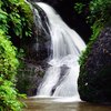
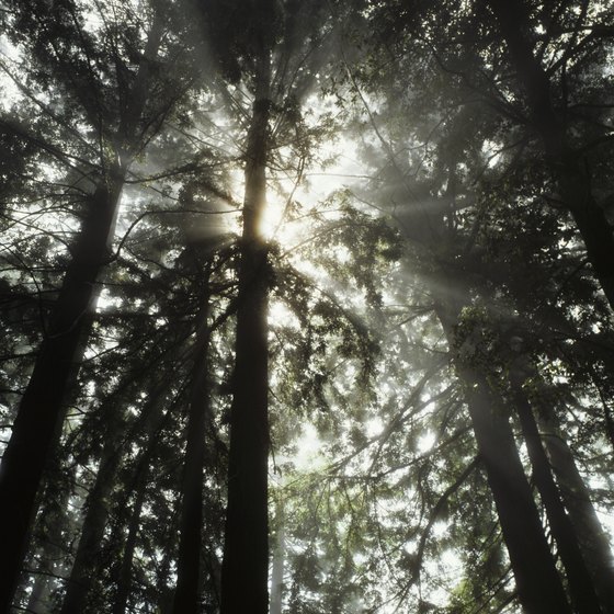
You cannot drive directly to Alpine Lake, so leave the car in the parking area near Bon Tempe Lake and walk across the dam. Alpine is about 100 yards below Bon Tempe, but used far less by the public than its popular sister lake. Rugged Kent Trail runs along the southeast side of Alpine Lake, passing woods and waterfalls; it is the only recognized trail along the lakeside. Although it is disappointing to find that you cannot hike all the way around the lake like you can at nearby Lagunitas and Bon Tempe lakes, this may explain the relative solitude you often experience on Kent Trail. With the mountains rising above you and the deep redwood forest beside you, the world of nature captures your senses. You delight in the song of the small, rain-filled streams and the music of the myriad waterfalls you pass.
Hidden Lake Loop
You can turn back at the tip of Alpine Lake, some 2 miles from where you began, or follow Kent Trail away from the lake. The latter option provides a more strenuous and exhilarating hike up and into redwood and mixed hardwood groves. You come to several sets of stairs set into the trail and pass small lakes housing frogs, salamanders and newts. When you get to the top, go left on Stocking Trail to Hidden Lake. A few miles past the lake, take the Rocky Ridge Fire Road along a high ridgeline and appreciate the long views to the East Bay. The road ends near Bon Tempe Dam, a little over 5 miles from its starting point. You can take Fido with you on the mostly shady hike as long as he's on a leash.
References
Resources
Writer Bio
From Alaska to California, from France's Basque Country to Mexico's Pacific Coast, Teo Spengler has dug the soil, planted seeds and helped trees, flowers and veggies thrive. World traveler, professional writer and consummate gardener, Spengler earned a BA from U.C. Santa Cruz, a law degree from Berkeley's Boalt Hall, and an MA and MFA from San Francisco State. She currently divides her life between San Francisco and southwestern France.