Katori-shi
Katori is a city located in Chiba Prefecture, Japan. As of 1 November 2020, the city had an estimated population of 74,469 in 31,113 households and a population density of 280 persons per km2.Notable Places in the Area
Katori Station
Railway station
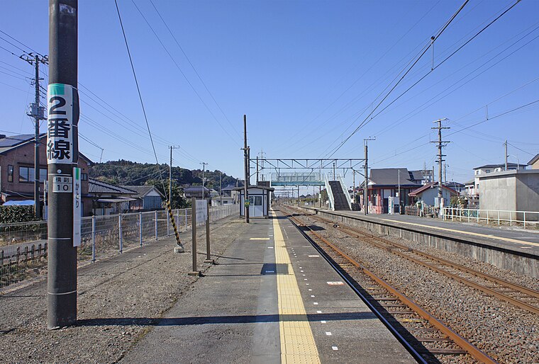
Photo: Mister0124, CC BY-SA 4.0.
Katori Station a junction passenger railway station in the city of Katori, Chiba Japan, operated by the East Japan Railway Company.
Sawara Station
Railway station

Photo: Mister0124, CC BY-SA 4.0.
Sawara Station is a passenger railway station in the city of Katori, Chiba Japan, operated by the East Japan Railway Company.
Katori Jingu Shrine
Shinto shrine

Photo: Saigen Jiro, CC0.
The Katori Shrine is a Shintō shrine in the city of Katori in Chiba Prefecture, Japan.
Katori-shi
Latitude
35.8833° or 35° 53' northLongitude
140.5167° or 140° 31' eastPopulation
82,100Elevation
35 metres (115 feet)Open Location Code
8R72VGM8+8MGeoNames ID
2111171Katori-shi Satellite Map
© OpenStreetMap, Mapbox and Maxar
Also Known As
- Japanese: 香取
- Japanese: 香取市
- Historic: Sawara-shi
Other Places Named Katori-shi
In the Area
Localities
Landmarks
- Jūnikyō StationRailway station, 4½ km northeast
- Suigō StationRailway station, 5 km east
- Ōto StationRailway station, 5 km west
- Itako StationRailway station, 7 km northeast
- NasakauraLake, 7 km northeast
- Omigawa StationRailway station, 9 km southeast
Popular Destinations in Chiba
Escape to a Random Place
Discover the residential area Jackson Park Village in Utah, United States and the locality Crosserdree in County Westmeath, Ireland.
About Mapcarta. Thanks to Mapbox for providing amazing maps. Text is available under the CC BY-SA 4.0 license, excluding photos, directions and the map. Description text is based on the Wikipdia page Katori-shi. Photo: Nicolas1981, CC BY-SA 3.0.