


Translate
near Kabelvåg, Vågan, Nordland (773.7 km ESE of epicenter) [Map] / not felt : Not noticeable or too week


| Fecha y hora | 23 Nov 2022 22:00:17 UTC - |
| Hora local en el epicentro | miércoles, 23 nov 2022 22:00 (GMT +0) |
| Status | Confirmado |
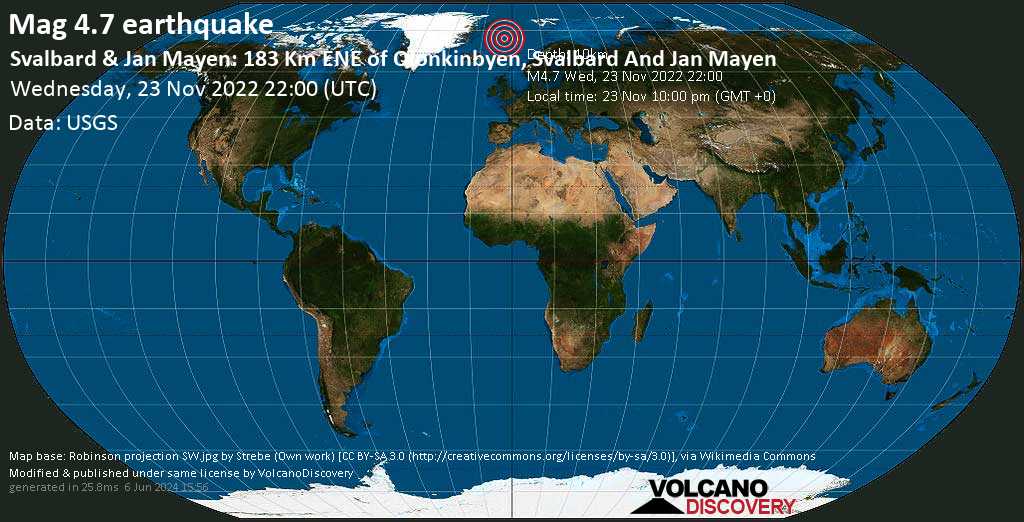
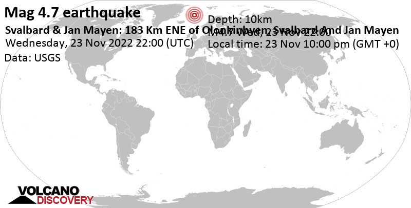
| Magnitud | 4.7 |
| Prof. | 10.0 km |
| Epicentro latitud / longitud | 71.3739°N / 3.8139°W |
| Antipode | 71.374°S / 176.186°E |
| Intensidad del temblor | Temblor moderado cerca del epicentro |
| Sentido | 0 informes |
| Fuente primaria de datos | USGS (United States Geological Survey) |
| Volcán mas cercano | Jan Mayen (159 km / 99 mi) |
| Lugares cercanos | 183 km al ENE de Olonkinbyen (pop: 14) | En el mapa | Sismos cercanos |
| Tiempo en el epicentro en el momento del sismo | Overcast Clouds  5.3°C (42 F), humidity: 72%, wind: 8 m/s (15 kts) from ESE 5.3°C (42 F), humidity: 72%, wind: 8 m/s (15 kts) from ESE |
| Energía sísmica estimada liberada | 7.1 x 10¹¹ joules (197 MWh, equivalente a 169 toneladas de TNT) | about seismic energy |
| Revista | Prof. | Ubicación | Fuente |
| 4.7 | 10 km | Svalbard & Jan Mayen: 183 Km ENE of Olonkinbyen, Svalbard And Jan Mayen | USGS |
| 4.8 | 2 km | Svalbard & Jan Mayen: JAN MAYEN ISLAND REGION | EMSC |
| 4.7 | 10 km | Svalbard & Jan Mayen: Jan Mayen Island Region | RaspberryShake |
| 5.2 | 10 km | Svalbard & Jan Mayen: Jan Mayen Island Region | GFZ |
| 4.7 | 10 km | Svalbard & Jan Mayen: Jan Mayen Island Region | IRIS |
| 5.2 | 10 km | Svalbard & Jan Mayen: Jan Mayen Island Region | GeoAu |


