Top trails (15)
- Turkey Mountain via Yellow LoopModerate•4.5(3257)#1 - Turkey Mountain via Yellow LoopLength: 3.7 mi•Est. 1h 26mTurkey Mountain is located just 10 minutes from Downtown Tulsa and offers a variety of excellent hiking trails. These trails are interconnected by short paths, making it easy to explore the area. The yellow loop on the east side of the mountain is perfect for various recreational activities, although it has a few steep sections on the ascent. The trail is shaded by beautiful trees, providing ample coverage from the sun. Once you reach the overlook, you can enjoy stunning views of the river...
- Turkey Mountain Yellow TrailModerate•4.5(702)#3 - Turkey Mountain Yellow TrailLength: 3.8 mi•Est. 1h 29mSandstone trails are sometimes well marked, but it is extremely easy to get off on a side spur/switchback that someone else has made. There are many many more trails that listed and it is easy to get lost. The woods are pretty heavily trafficked by hikers, bikers and people with dogs on leashes in good weather. One parking lot, closest to 71st street, is new and paved. Another one, closer to 61st and Elwood is gravel and only portalets.
- Riverparks West Bank TrailEasy•4.4(455)#5 - Riverparks West Bank TrailLength: 4.2 mi•Est. 1h 23mPlease visit River Parks Authority for more information https://www.riverparks.org/west-bank-trail-striping/
- Mary K. Oxley Nature Center LoopStart at the Coyote Trailhead. Connect to Flowline Trail, then Red Fox Trail, then Bob’s Trail, then Blue Herron Trail, then parallel the road for a bit before cutting over to the Nature Center building on the Meadowlark Prairie Trail. From there follow the Whitetail Trail which connects back to the Coyote Trail. Lots of wildlife along the route - deer, beaver, squirrels, and birds, to include a Blue Heron. For more information, see the Nature Center website here:...
- Tulsa River ParksEasy Urban Trail along the Arkansas River This is an urban trail located along the east bank of the Arkansas River as it bends south between Downtown Tulsa, OK and the east side of Jenks, OK. This trail is paved for the entire 11 mile stretch and is open to runners, hikers, bikes, and roller blades. Currently you can hike to the "BRRidge" near 31st street and back on the west bank trail if you want to create a 6.5 mile loop rather than the 11 mile trek all the way. The name "BRRidge" is...
- Midland Valley TrailStarting from Veterans Park, this rail-trail travels through multiple parks in the city. There are many other connections near the river park for those who want to extend their path. There are several road crossings necessary to fully navigate the trail, so please use caution. Accessibility: There are 4 designated accessible spaces in the paved parking lot off of East 6th Street at the north end of the trail. All of them are van-accessible with striped access aisles. The trail surface is...
Showing results 1 - 10 of 15
Helpful reviews of trails in Tulsa
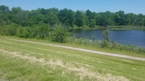
Easy walk, no elevation, circles the whole reservoir. The sound of water flapping was very peaceful. There are three entrances to walk the reservoir. The entrance on the north side looked difficult with all the stairs to climb. Forgot to press finish when done, which is why it's showing it was 4 miles.
Frequently asked questions about walking trails in Tulsa
What is the longest walking trail in Tulsa?
According to AllTrails.com, the longest walking trail in Tulsa is Tulsa River Parks. This trail is estimated to be 9.6 mi long.
Which walking trail has the most elevation gain in Tulsa?
Tulsa: With an ascent of 383 ft, Turkey Mountain Yellow Trail has the most elevation gain of all of the walking trails in the area. The next highest ascent for walking trails is Turkey Mountain via Yellow Loop with 370 ft of elevation gain.

