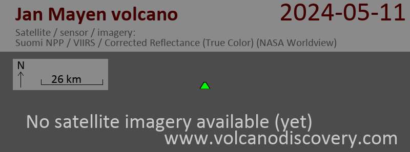
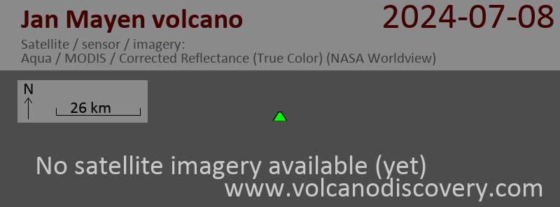
Jan Mayen volcano
Updated: Feb 21, 2024 19:31 GMT -
Stratovolcano 2277 m / 7,470 ft
Jan Mayen Island, Norway, 71.08°N / -8.17°W
Current status: normal or dormant (1 out of 5)
Jan Mayen Island, Norway, 71.08°N / -8.17°W
Current status: normal or dormant (1 out of 5)
Show interactive Map
[hide map] [enlarge]
Jan Mayen volcano eruptions: 1985
Latest nearby earthquakes
| Time | Mag. / Depth | Distance/Location | |||
| Feb 19, 10:53 pm (GMT +1) Feb 19, 21:53 GMT | 1.9 0 km | 6.8 km (4.2 mi) to the NE | More | ||
| Friday, February 16, 2024 GMT (1 quake) | |||||
| Feb 16, 03:39 am (Longyearbyen) Feb 16, 01:39 GMT | 1.9 17 km | 6.9 km (4.3 mi) to the NE | More | ||
| Wednesday, February 14, 2024 GMT (1 quake) | |||||
| Feb 14, 07:00 pm (Longyearbyen) Feb 14, 17:00 GMT | 2.1 17 km | 5 km (3.1 mi) to the N | More | ||
| Friday, February 9, 2024 GMT (1 quake) | |||||
| Feb 9, 02:34 am (Longyearbyen) Feb 9, 01:34 GMT | 2.2 18 km | 12 km (7.6 mi) to the NW | More | ||
| Saturday, February 17, 2024 GMT (1 quake) | |||||
| Feb 17, 09:16 am (Longyearbyen) Feb 17, 08:16 GMT | 1.8 0 km | 20 km (12 mi) to the E | More | ||
| Friday, February 16, 2024 GMT (1 quake) | |||||
| Feb 16, 03:40 am (Longyearbyen) Feb 16, 01:40 GMT | 1.7 17 km | 6.9 km (4.3 mi) to the N | More | ||
Background
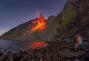
Remote Jan Mayen Island, located in the Norwegian Sea along the Mid-Atlantic Ridge about 650 km NE of Iceland, consists of two volcanic complexes separated by a narrow isthmus. The large Beerenberg basaltic stratovolcano (Nord-Jan) forms the NE end of the 40-km-long island, which is ringed by high cliffs. Beerenberg is a large 2277-m-high glacier-covered stratovolcano with a 1-km-wide summit crater and numerous cinder cones that were erupted along flank fissures. It is composed primarily of basaltic lava flows with minor amounts of tephra. Historical eruptions at Beerenberg date back to the 18th century. The Sor-Jan group of pyroclastic cones and lava domes occupies the SW tip of Jan Mayen. The Holocene Sor-Jan cinder cones, tephra rings, and trachytic lava domes were erupted from short fissures with a NE-SW trend.---
Smithsonian / GVP volcano information
See also: Sentinel hub | Landsat 8 | NASA FIRMS