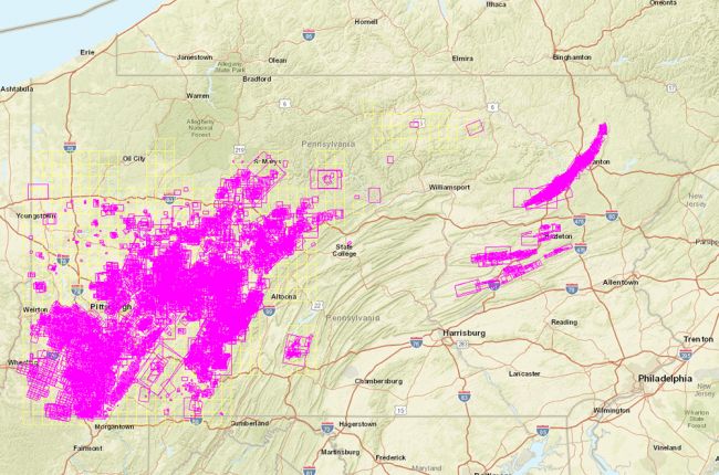
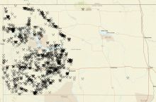
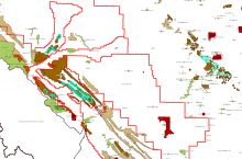
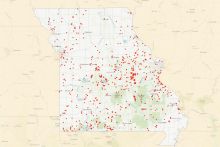
The Pennsylvania Department of Environmental Protection's Office of Active and Abandoned Mine Operations has collaborated with Pennsylvania State University to produce the Pennsylvania Mine Map Atlas. This enormous resource contains thousands of detailed coal mine maps that can be overlaid on a variety of base maps for the entire state, including terrain, topographic and road maps, and aerial photographs.
Each pink or yellow outline represents a single map, and many of the maps overlap each other. In addition to browsing the interactive map, maps for specific areas and mines can be found by searching by county, municipality, street, zip code, and latitude/longitude.
Individual maps can be viewed on top of the overall interactive map, and the transparency of mine maps can be varied so that users can see how the mine map relates to surface features such as buildings, roads, and waterways. Maps can also be downloaded for further use, and the location of the original version of each map is provided. Mine and company names and mine status are available for each map via the Pennsylvania Historic Underground Mine Map Inventory System (PHUMMIS).
The website contains a detailed tutorial for users who require further assistance.
Note: some of the maps can be very large and may take some time to load.
Click here to access the Pennsylvania Mine Map Atlas.

