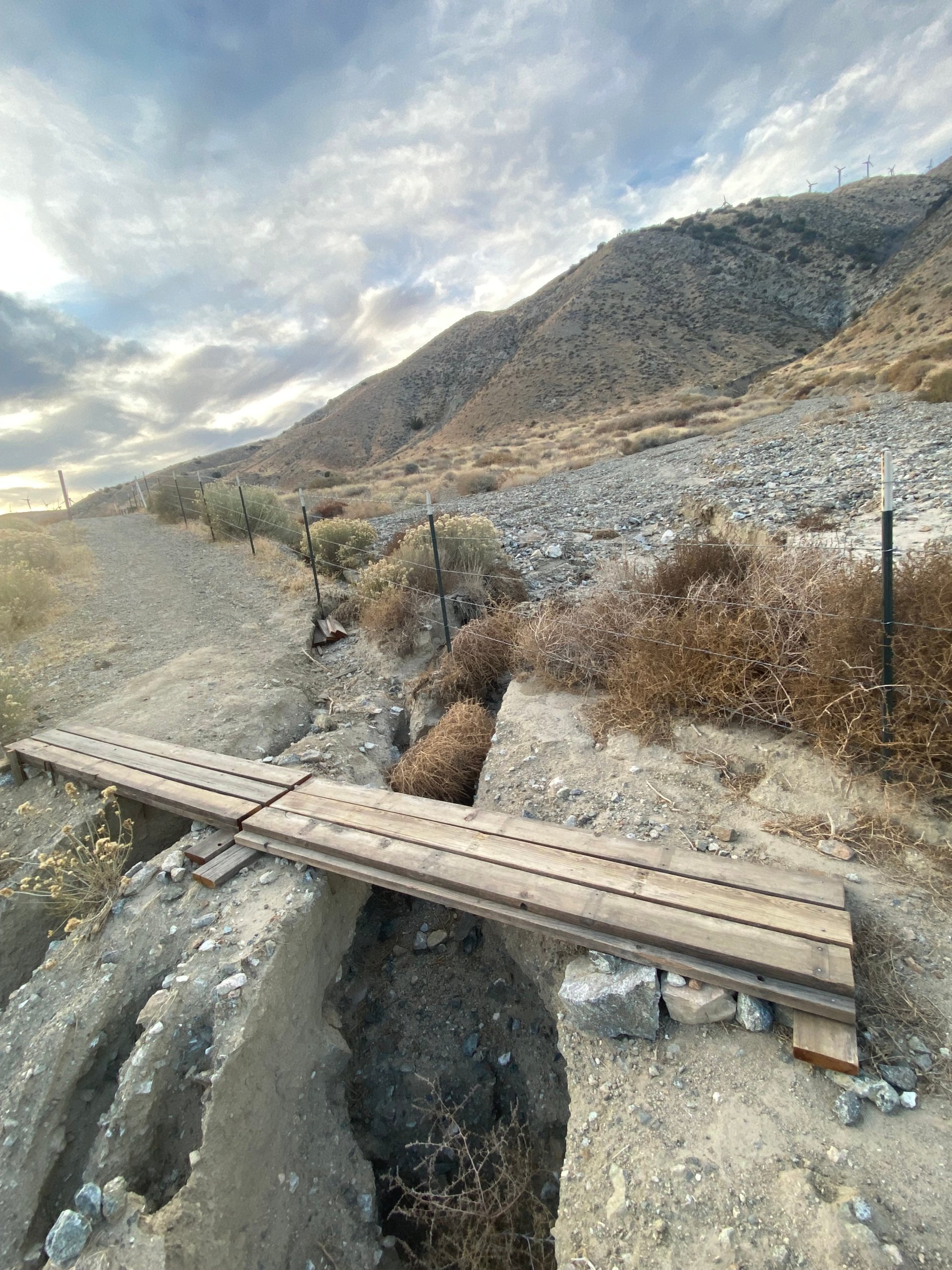
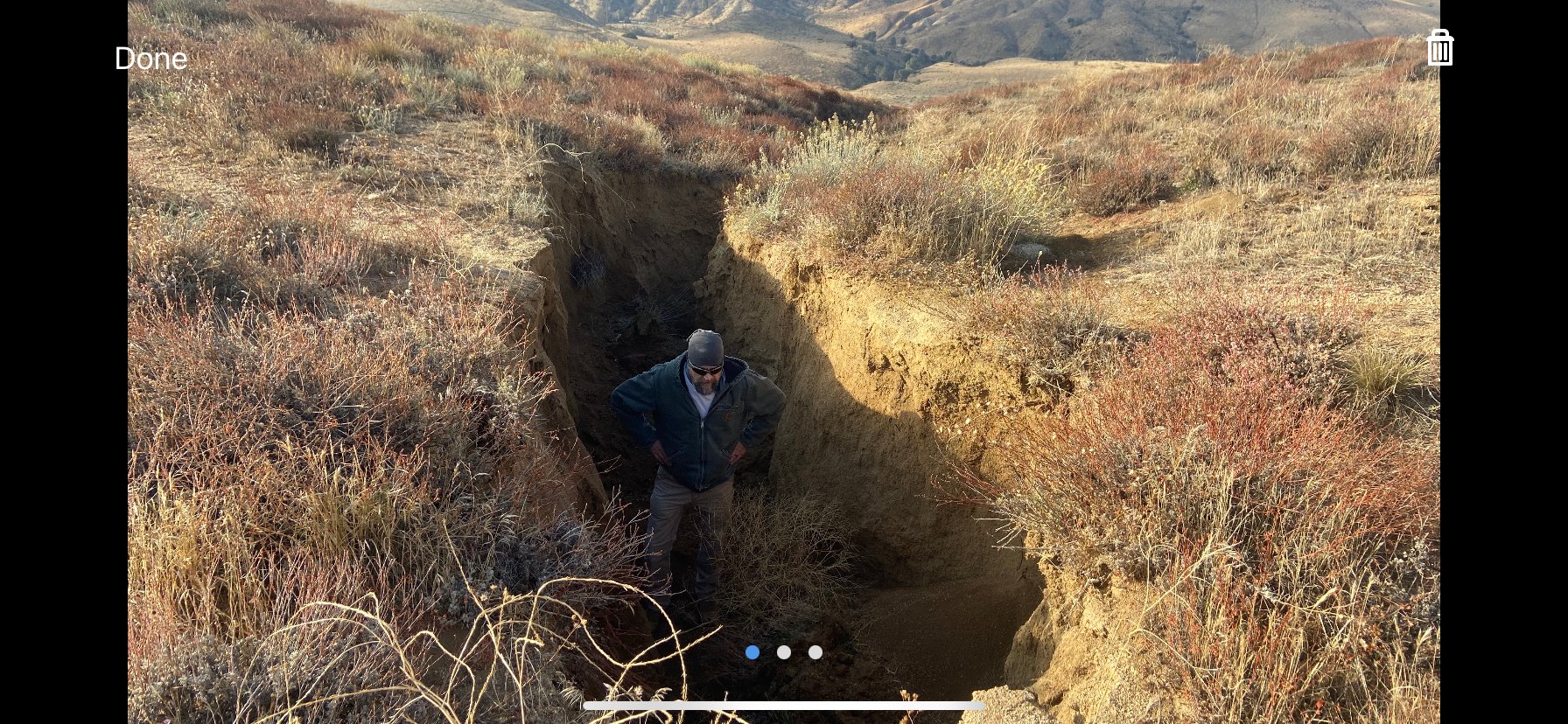
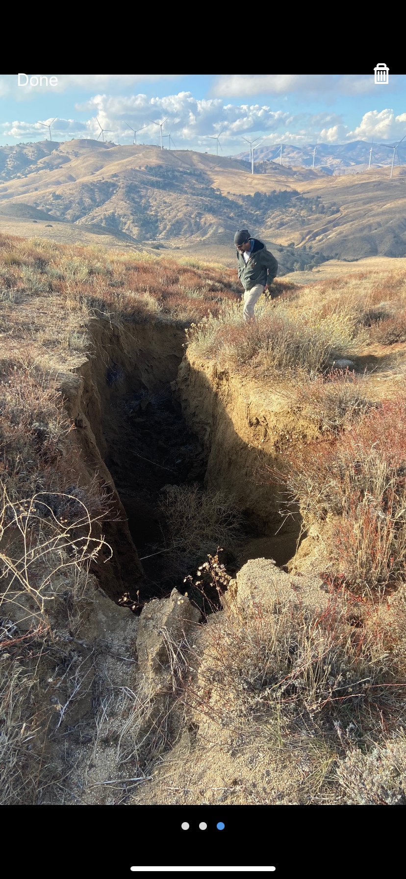
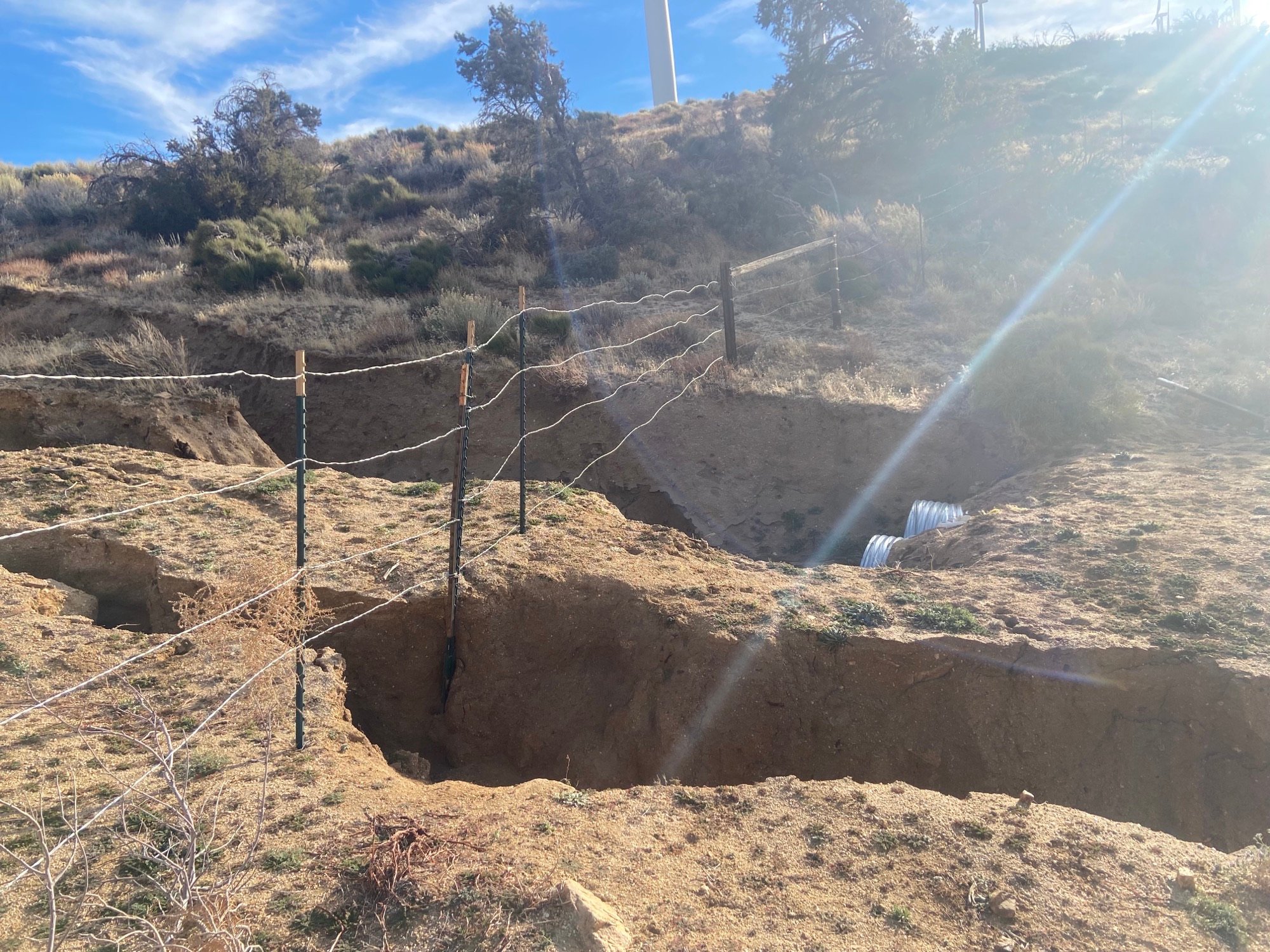
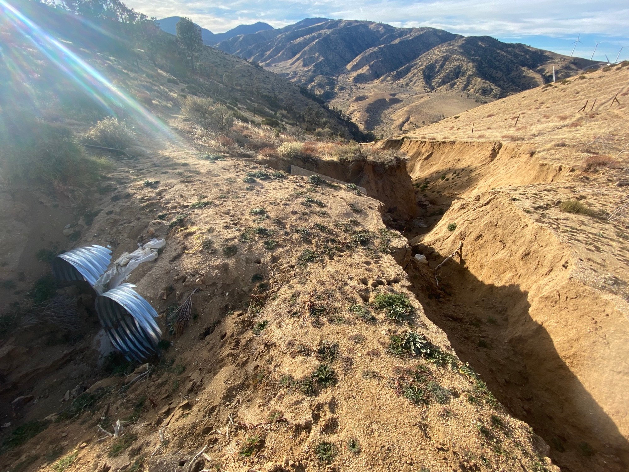
I hiked between Montezuma Valley Rd & Hwy 74 this weekend and wanted to share about an issue just north of Combs Peak. Starting around MM 129.3, just after the turnoff for the use trail most people use to access the peak, the trail is in pretty poor condition for the better part of a mile, with vegetation essentially knitted together across what’s left of disintegrating tread in places (worst spots are on northern aspects & gullies). There are a few fallen logs in here, but they’re fairly easily negotiable. It’s the combo, however, of the extreme overgrowth plus lack of tread in spots, that’s my main concern…in a few places, I was essentially walking on top of snow-covered bushes that obscured what was once the trail, my foot occasionally punching through to air – really not my idea of fun or safe trail! It’ll probably be easier to assess once the remainder of the snow is melted, but the tread is pretty severely slipped in a few spots, and having to fight the bushes while trying to find solid foot placements is quite difficult.
As a whole, that next stretch up to Highway 74 seems like it hasn’t been maintained in quite a while – there’s quite a bit of overgrowth, including catclaw that was hard to avoid in spots, although it’s just mostly annoying, not sketchy like that segment near Combs. I think those spots north of Combs are a bit of a safety hazard for hikers, and probably aren’t the safest for equestrians.