Upper Peninsula Michigan Map Pictures, Images and Stock Photos
Browse 50+ upper peninsula michigan map stock photos and images available, or start a new search to explore more stock photos and images.
Most popular
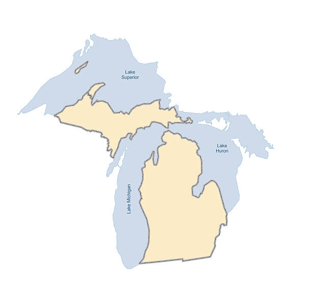
Vector illustration of the State of Michigan with surrounding lakes (Huron, Superior, Michigan). Comes with both .EPS and .AI vector files.
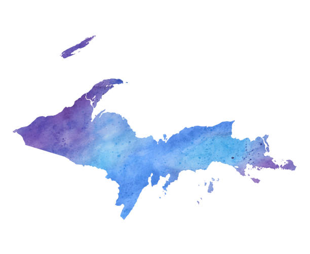
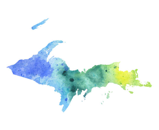
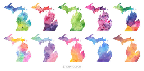
Upper Peninsula South Haven, Michigan Watercolor Raster Map Illustration

The maps are accurately prepared by a GIS and remote sensing expert.
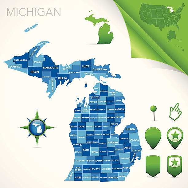
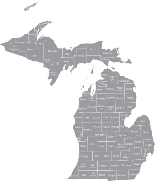
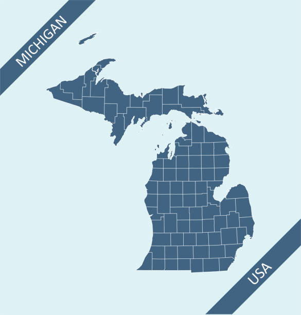
Highly-detailed Michigan county map. Each county is in it's own separate labeled layer. County names are in a separate layer and can be easily adjusted or removed as well. All layers have been alphabetized for easy manipulation, recoloring or other use.
The map is accurately prepared by a map expert.

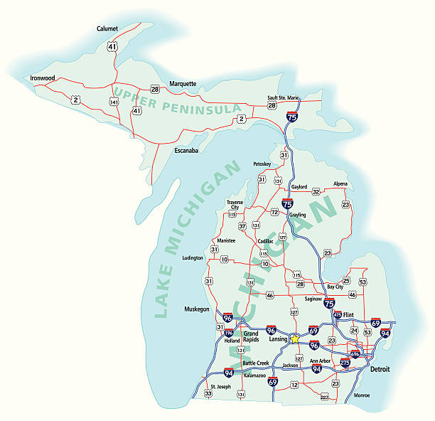
A vintage-style map of Michigan with freeways, highways and major cities. Shoreline, lakes and rivers are very detailed. Includes an EPS and JPG of the map without roads and cities. Texture, compass, cities, etc. are on separate layers for easy removal or changes.

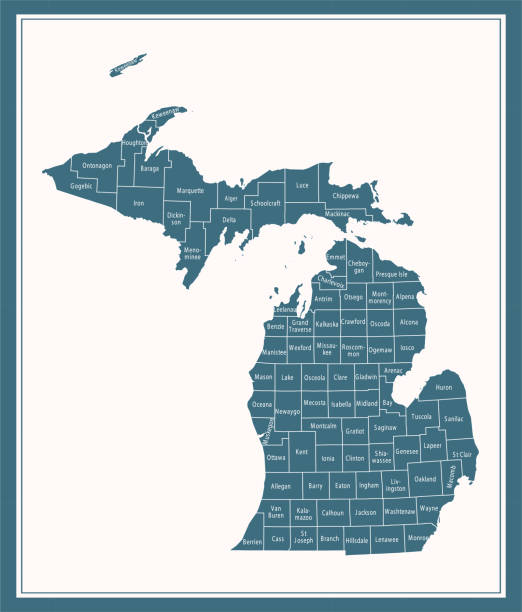
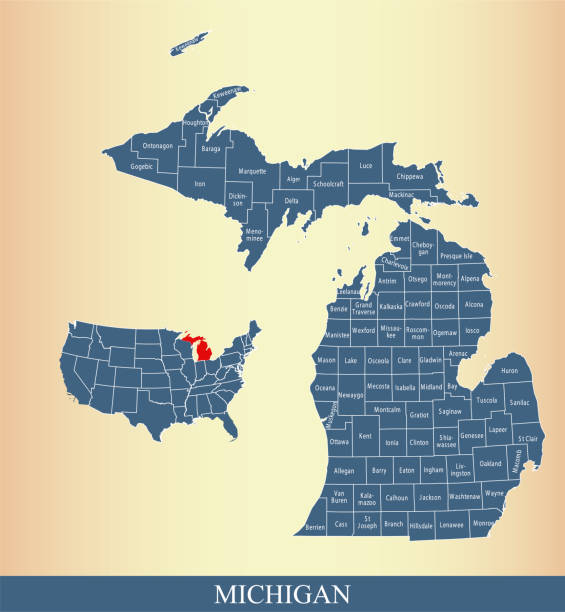
Downloadable county map of Michigan state of United States of America. The map is accurately prepared by a map expert.

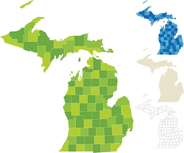
"Highly-detailed Michigan county map. Each county is in it's own separate labeled layer. All layers have been alphabetized for easy manipulation, recoloring or other use. (see image below -- note: labels only available in AICS2 and AI10 files)"

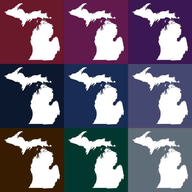
Vector Michigan, USA in Dark Colors
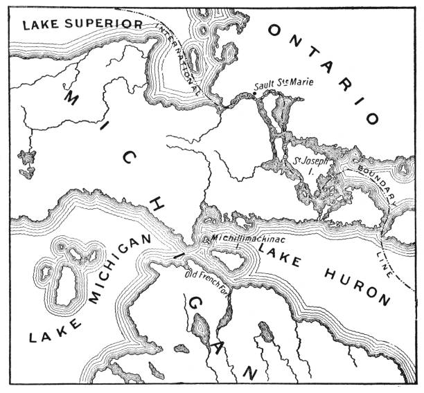
Vintage map showing early territorial borders and military positions in the Mackinac area during the War of 1812. Vintage etching circa late 19th century.
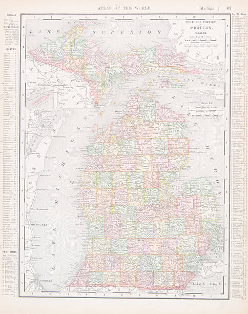
Vintage map of the state of Michigan, United States. - See lightbox for more


Travel destination - Mackinac Area with pushpin
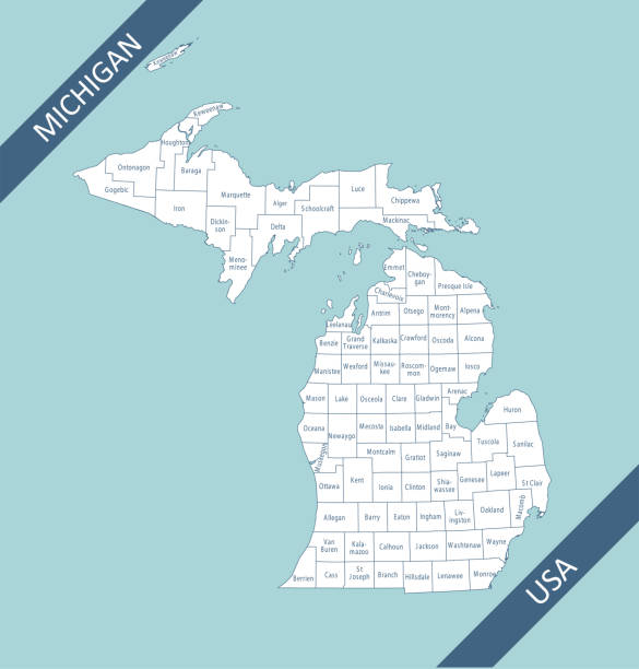
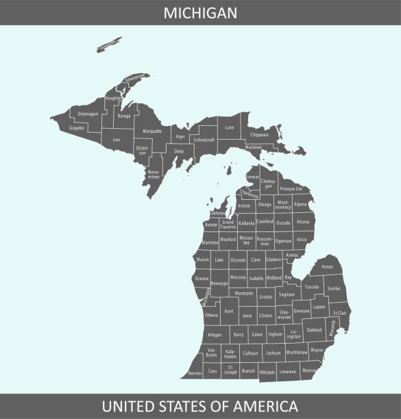
Highly detailed map of Michigan counties state of United States of America for web banner, mobile app, and educational use. The map is accurately prepared by a map expert.

Vector Michigan, USA in Beachy Colors
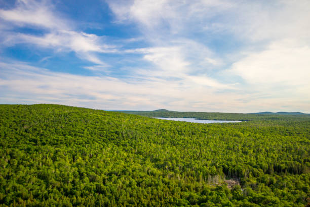
Summit view from the overlook of Brockway Mountain in the Keweenaw Peninsula of Michigan. The Brockway Mountain Drive is considered to be one of the most scenic in the state and the overlook provides visitors with sweeping panoramas of Lake Superior and the surrounding wilderness of northern Michigan.

Highly detailed county map of Michigan state of United States of America for web banner, mobile app, and educational use. The map is accurately prepared by a map expert.

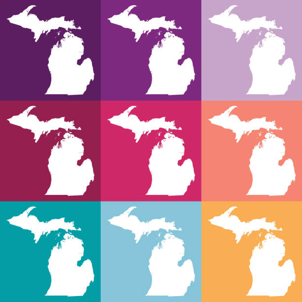
Vector Michigan, USA in Bright Colors
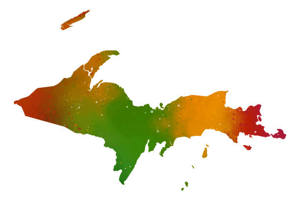
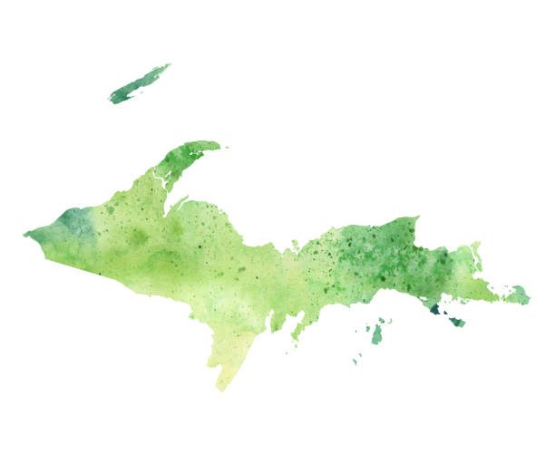
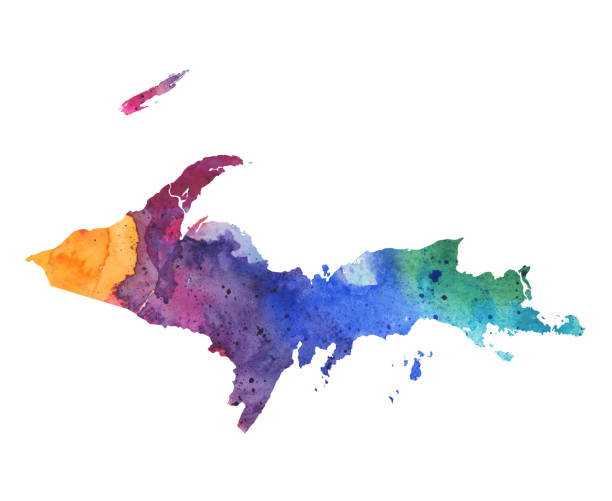
Upper Peninsula Map Watercolor Painting, Michigan Raster Illustration. Map Isolated On White Background. Artwork Of Red, Orange, And Green Water Paints With Splashing Droplets.
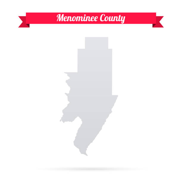
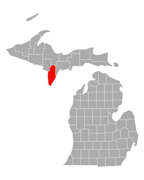
Map of Menominee County - Michigan, isolated on a blank background and with his name on a red ribbon. Vector Illustration (EPS file, well layered and grouped). Easy to edit, manipulate, resize or colorize. Vector and Jpeg file of different sizes.

Printable counties map of Michigan state of United States of America. The map is accurately prepared by a map expert.

August 23, 2022, Isle Royale National Park, Michigan, USA, large wooden sign greets visitors upon arriving at Rock Harbor within Isle Royale National Park. Sign indicates "You are Here" and illustrates the various trails on the island that is a National Park. Moose carcasses lay on the ground. Located in the Upper Peninsula of Michigan on Lake Superior.
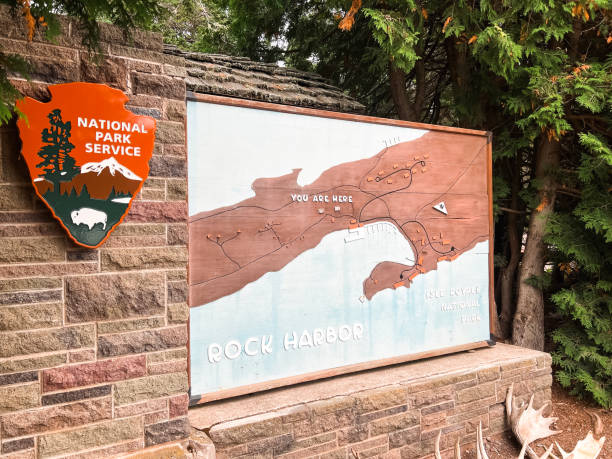
August 23, 2022, Isle Royale National Park, Michigan, USA, August 23, 2022, Isle Royale National Park, Michigan, USA, August 23, 2022, Isle Royale National Park, Michigan, USA, large wooden sign greets visitors upon arriving at Rock Harbor within Isle Royale National Park. Sign indicates "You are Here" and illustrates the various trails on the island that is a National Park. Located in the Upper Peninsula of Michigan on Lake Superior.
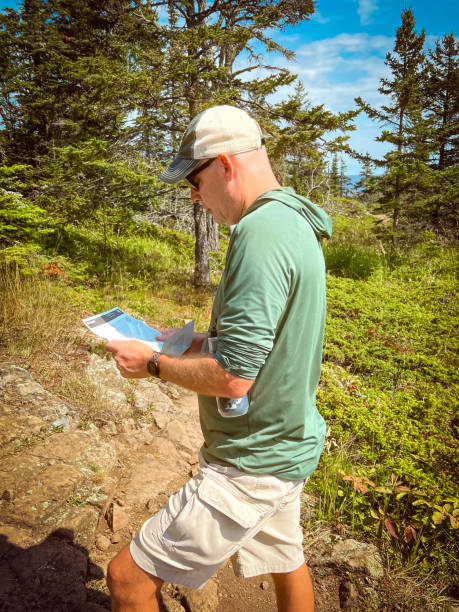
When there is no cell service, you have to pull out your paper map! Single tall athletic man stands in the forefront of view with a paper map in his hand. It’s a sunny day in the forest. Li He is dressed casually with khaki shorts and a baseball cap. He is standing on a trail within Isle Royale National Park located in the Upper Peninsula of Michigan.

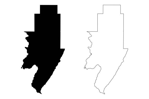
Map of Schoolcraft County - Michigan, isolated on a blank background and with his name on a red ribbon. Vector Illustration (EPS file, well layered and grouped). Easy to edit, manipulate, resize or colorize. Vector and Jpeg file of different sizes.

Map of Schoolcraft County - Michigan, with a realistic paper cut effect isolated on white background. Trendy paper cutout effect. Vector Illustration (EPS file, well layered and grouped). Easy to edit, manipulate, resize or colorize. Vector and Jpeg file of different sizes.

Map of Schoolcraft County - Michigan, for your own design. Four maps with editable stroke included in the bundle: - One black map on a white background. - One blank map on a black background. - One white map with shadow on a blank background (for easy change background or texture). - One line map with only a thin black outline (in a line art style). The layers are named to facilitate your customization. Vector Illustration (EPS file, well layered and grouped). Easy to edit, manipulate, resize or colorize. Vector and Jpeg file of different sizes.

Map of Menominee County - Michigan, with a realistic paper cut effect isolated on white background. Trendy paper cutout effect. Vector Illustration (EPS file, well layered and grouped). Easy to edit, manipulate, resize or colorize. Vector and Jpeg file of different sizes.
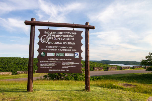
Copper Harbor, Michigan, USA - June 22, 2018: Informational sign located at the summit overlook of Brockway Mountain in the Keweenaw Peninsula of Michigan. The Brockway Mountain Drive is considered to be one of the most scenic in the state and the overlook provides visitors with sweeping panoramas of Lake Superior and the surrounding wilderness of northern Michigan.

Map of Menominee County - Michigan, for your own design. Four maps with editable stroke included in the bundle: - One black map on a white background. - One blank map on a black background. - One white map with shadow on a blank background (for easy change background or texture). - One line map with only a thin black outline (in a line art style). The layers are named to facilitate your customization. Vector Illustration (EPS file, well layered and grouped). Easy to edit, manipulate, resize or colorize. Vector and Jpeg file of different sizes.


Munising, Michigan - October 19, 2021: Sign for Munising Falls Visitor Center in Pictured Rocks National Lakeshore

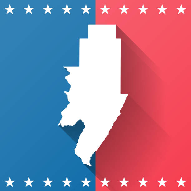
Map of Menominee County - Michigan, on a blue and red colored background. The blue color represents the Democratic Party and the red color represents the Republican Party. White stars are placed above and below the map. Vector Illustration (EPS file, well layered and grouped). Easy to edit, manipulate, resize or colorize. Vector and Jpeg file of different sizes.

The map is accurately prepared by a map expert.


Mackinac Island, MI, USA - June 23, 2018: The Mackinac Island State Park detailed map
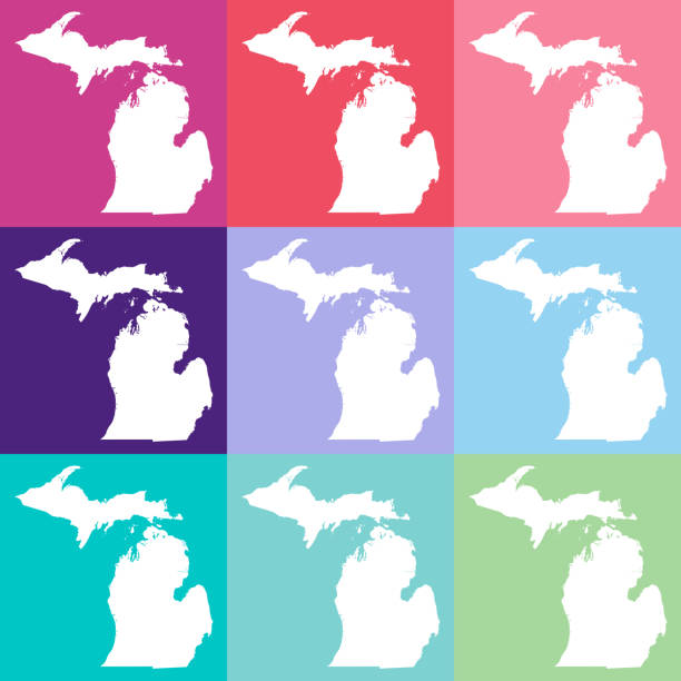
Vector Michigan, USA in Muted Colors
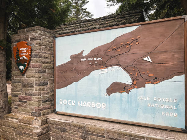
August 23, 2022, Isle Royale National Park, Michigan, USA, August 23, 2022, Isle Royale National Park, Michigan, USA, large wooden sign greets visitors upon arriving at Rock Harbor within Isle Royale National Park. Sign indicates "You are Here" and illustrates the various trails on the island that is a National Park. Located in the Upper Peninsula of Michigan on Lake Superior.

Copper Harbor, Michigan, USA - June 22, 2018: Informational sign located at the summit overlook of Brockway Mountain in the Keweenaw Peninsula of Michigan. The Brockway Mountain Drive is considered to be one of the most scenic in the state and the overlook provides visitors with sweeping panoramas of Lake Superior and the surrounding wilderness of northern Michigan.

Vector Michigan, USA in Cool Colors