Edmonton
Edmonton is the capital city of Alberta. Its metro area is home to 1.3 million people, and is the northernmost city of at least one million people in North America, the fifth-largest city in Canada and the largest Canadian city farther than 200 kilometres from the US border.Notable Places in the Area
Rogers Place
Stadium
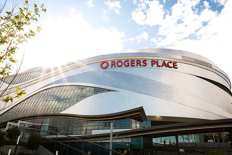
Photo: Alexscuccato, CC BY-SA 4.0.
Rogers Place is a multi-use indoor arena in Edmonton, Alberta, Canada.
Northlands Coliseum
Stadium
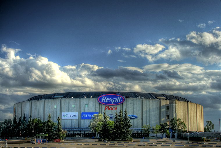
Photo: WinterE229, CC0.
53°34′17″N 113°27′22″W / 53.57139°N 113.45611°W Northlands Coliseum is a defunct indoor arena in Edmonton, Alberta, on the north side of Northlands.
Art Gallery of Alberta
Museum
 The Art Gallery of Alberta is an art museum in Edmonton, Alberta, Canada.
Localities in the Area
Central Edmonton
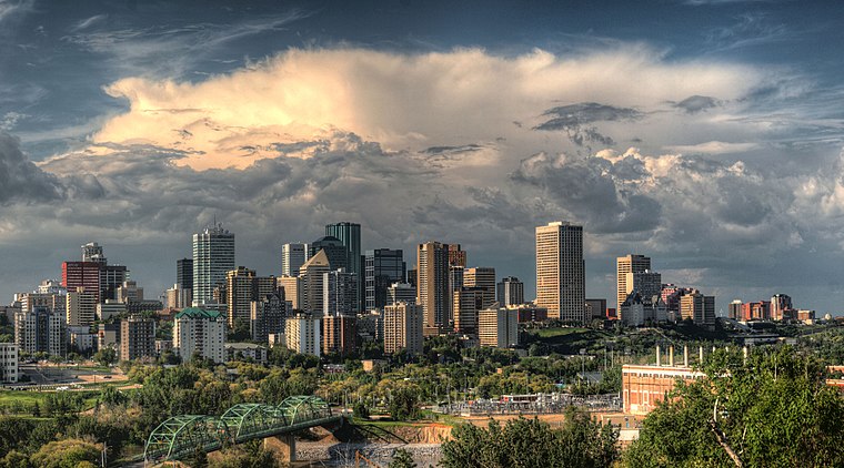
Photo: WinterE229, CC0.
Central Edmonton is most densely urbanized and oldest area of Edmonton.
South Central
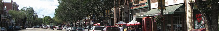
Photo: Traveler100, CC BY-SA 3.0.
South Central Edmonton is the urban and central area south of the North Saskatchewan River in Edmonton.
Edmonton
- Location: Alberta, Prairies, Canada, North America
- View on OpenStreetMap
Latitude
53.5371° or 53° 32' 14" northLongitude
-113.4949° or 113° 29' 42" westPopulation
933,000Elevation
645 metres (2,116 feet)Open Location Code
9558GGP4+V2GeoNames ID
11807182Edmonton Satellite Map
© OpenStreetMap, Mapbox and Maxar
Other Places Named Edmonton
Localities in the Area
- RossdaleNeighborhood
- DowntownNeighborhood
- GrandinArea
- River Valley WalterdaleLocality
- CloverdaleNeighborhood
Landmarks in the Area
- Edmonton HouseHotel building
- James MacDonald BridgeBridge
- Hotel MacdonaldHotel
- Low Level BridgeBridge
- Edmonton Convention CentreFacility
Popular Destinations in Alberta
Discover Calgary, Edmonton, Banff National Park and Banff.
Escape to a Random Place
Discover other destinations in the world.
About Mapcarta. Thanks to Mapbox for providing amazing maps. Text is available under the CC BY-SA 4.0 license, excluding photos, directions and the map. Description text is based on the Wikivoyage page Edmonton. Photo: WinterE229, CC0.