


WEATHER RADAR LIVE
Weather radar live
You have planned a trip into nature? Or simply want to enjoy the sun on your terrace or balcony? Then you should check out the weather radar live for your region or city! It provides you with all relevant information about the weather as well as a weather forecast.
You will receive an overview of the current weather and will be able to predict what the weather will be like in the upcoming hours.
Depending on the intensity, the precipitation appears on the rain radar in the colors blue (weak precipitation), green, yellow, orange (moderate precipitation), red or purple (very heavy precipitation). Thunderstorms and lightning strikes are indicated by a small lightning symbol.
This is how the weather radar live works:
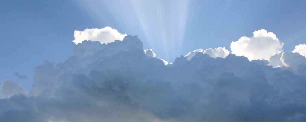
The weather radar live itself displays cloud cover, current precipitation, storms, thunderstorms or tornados in real-time. With the cursor at the bottom left in the center you can view the weather over time. By finger pressure or mouse click you can move the area on the map. Use the + or – at the top right to zoom in. You can also zoom in with your fingers or the mouse wheel.
What is a weather radar live?
A weather radar live is a special type of radar that collects and analyzes data on the weather situation. To be able to make a concrete weather forecast and to collect and analyze the data over a large area, many different weather radar stations are required at various locations. These weather stations are linked to each other and transmit the collected data to a central computer. This central computer is responsible for processing all the collected data and using it to create a picture of the general weather situation.
One radar and various terminologies
The most well-known type of weather radar is probably the rain radar. This type of weather radar collects its data by sending radar beams into the clouds, which are then reflected to the radar station by the water molecules. This can create an accurate picture of where exactly rain clouds are located. A thunderstorm radar and a regular cloud radar operate in the same way.
Incidentally, the mechanism of a weather station is also similar. With the recipient (the weather radar) located outside in your garden or on your balcony, the weather data is collected, transmitted to the base station, and processed. On this base station, the different weather data is presented to you. A weather station is basically a weather radar live in miniature.
Did you know…
…that the first weather radar was already built in the early 1940s? However, this type of weather radar could not accurately predict the intensity of the rain or the strength of the thunderstorm or storm. Only the use of new types of radar technologies, such as the Doppler radar, made this possible.
How is a weather radar created?
As you already know, the radar station and its radar beams are used to measure the amount of water vapor present in a cloud. To display these results in a radar image, one needs not only one, but several stations at different locations. Only then can a concrete picture of precipitation in the area emerge.
Now it is the case that the accuracy of the measurement decreases with increasing distance. The reason for this is the divergence of the emitted electromagnetic rays. In physics, this means the divergence of the radiation emitted by the station. Therefore, it is advisable to spread the radar measuring stations over a large area to get an accurate picture of the rainfall.
Which is the best weather radar?
If you look around for a weather radar today, you will usually find one very quickly. Whether on the Internet or in the various app stores, weather radars are offered in abundance these days. How can you tell which radar is good and which one is better left alone?
In the following, you will find some points that indicate a good weather radar:
✔️ The weather radar provides information about the past AND the future course of the rain areas
✔️ The area on the map can be zoomed in or out
✔️ The radar is also displayed correctly on the smartphone and is mobile optimized
✔️ The map differentiates between rain and snowfall
✔️ The weather map shows thunderstorms in addition to precipitation

Weather Radar – What do the colors mean and what does purple mean?
When you look at the weather map, you will notice many different colors. These give you an overview of the intensity of precipitation. The scale ranges from blue (weak precipitation), green, yellow, orange (moderate precipitation), red or purple (very heavy precipitation).
Thus, the coloring in purple represents areas in which you must expect heavy rainfall. For orientation: From a precipitation amount of about 5 liters per square meter within 5 minutes it is called heavy rain. In addition, it is almost always accompanied by thunderstorms.
How reliable is a weather radar?
Thanks to the broadly developed radar network and the modern technology behind the analysis of radar data, very accurate forecasts can be made with regard to the weather. We’ll take a look at how accurate these forecasts can be in a moment. Meanwhile, the hit rate of the radar image is over 95%.
How accurate is the radar?
Radar measures and works extremely accurately. So accurate, in fact, that precipitation can be predicted at a distance of a few hundred meters. This is despite the fact that many influencing factors such as local conditions or wind can affect the result of the radar image.
You don’t believe us? So why not do the test yourself? Look at your radar more often in the future. The next time a rain front approaches, you can determine exactly when the rain will start and whether the radar image matches reality.
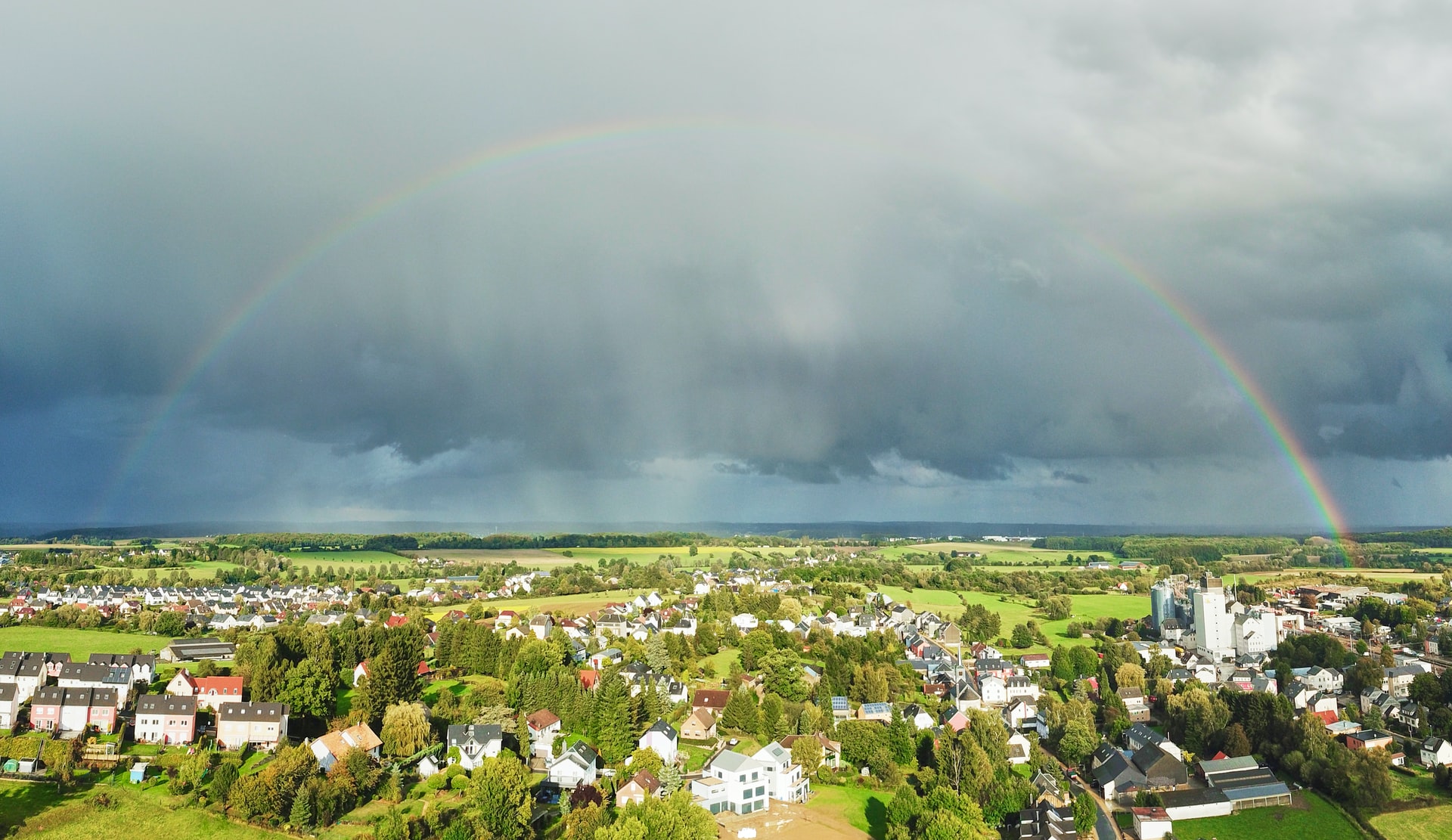
When will the weather be good again?
When will the weather god finally give us good weather again? This is a question that concerns us all very often. With a look at our weather radar you can answer this question easily and quickly. First, look where exactly you are on the map. Then click on the cursor at the bottom left and observe when the rain front passed by you. You can easily read this information from the timeline located at the bottom of the weather map. After that, you can use our cloud forecast to check when the sun will peek through the clouds and plan your next sunbath.
Why does the weather radar show me rain although it is not raining?
Occasionally it can happen that rain areas are displayed to you, although the rain is waiting. For this, let’s recall what we have already said: The weather radar shows us how high the water vapor concentration of the cloud cover is. With the help of physical laws, we can now determine quite precisely when the cloud will start raining and will not be able to absorb any more water vapor. But exceptions prove the rule here. For example, if the cloud picks up more water vapor than calculated (which can be a result of temperature or air pressure differences), rain areas without actual rain can be detected in the radar.
But it may also be that the rain does not reach the ground because it is blown in a different direction by the wind or begins to evaporate again on its way to the ground due to high temperatures.

Advantages of the weather radar live
Let us have a closer look at the advantages that the radar offers. First, its use is completely free of charge for you. Besides, you do not need to install any programs to use it. Nevertheless, you can use the weather radar map on your cell phone as well as on your tablet or PC.
Another benefit is that the radar image is updated within extremely short time intervals, providing you with a real-time overview of the weather.
What does a radar station look like?
The radar itself resembles a very large satellite dish in terms of its structure. This “satellite dish” is surrounded by a so-called radome (spherical protection). In almost all cases, the weather radar and radome are located on a tower to ensure that the radar waves can be transmitted unhindered into the air.
Another special form is the radar used by airliners. It is located in the aircraft’s nose and is therefore called nose radar. It has the task of always informing the pilots about the weather situation so that alternative routes can be taken in the event of a storm.
No radar available for your region?
Our weather radar map is continuously updated with new areas and regions. If your city or region is not yet included: Do not hesitate to contact us. We will do our utmost to offer a suitable radar for your city or region as soon as possible. Our service is completely free of charge, but we would appreciate your support.
We hope that you like our offering and that you get along well with the operation. If you have any questions, requests, or suggestions, please feel free to contact us.