Severe Weather Continues in the Central and Southern U.S.
Dangerous severe weather will continue overnight in the nation’s heartland with potentially intense tornadoes and very large hail. The threat for severe weather will shift eastward into the Ohio Valley and mid-South on Tuesday. Farther west on the back side of this large storm system, strong winds and critical fire weather will affect the southern and central High Plains through midweek. Read More >
LOADING...
Click a location below for detailed forecast.
Last Map Update: Tue, May. 7, 2024 at 1:24:38 am CDT
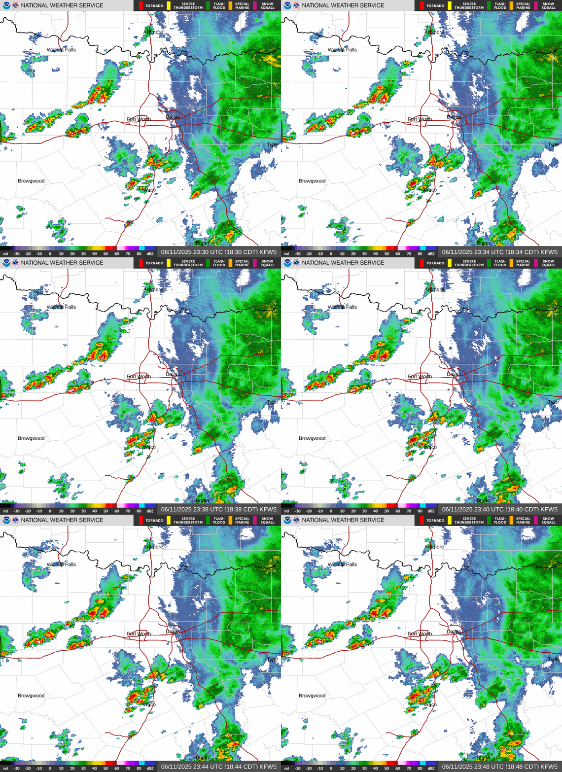
KFDR Radar
Mid Week Storm Chances
Hot & Humid Mid Week
Last Cold Front?

The unsettled pattern continues mid-week with additional storm chances Wednesday and Thursday associated with an approaching dryline and passing cold front. Strong to severe thunderstorms and heavy rainfall will be possible at times. Large hail and damaging wind gusts are the main threats. Localized heavy rainfall may lead to flash flooding, especially over areas that are saturated from recent rainfall.

Warm and very humid weather is expected around midweek with highs ranging from the mid 80s to the lower 90s. With dewpoints in the mid 60s to mid 70s, parts of Central and eastern North Texas may see peak heat index values in the mid 90s to near 100 degrees by Wednesday afternoon.

As we move into May and approach the closing weeks of spring, our odds for being blessed with cool, continental air will continue to decrease. Will this be the last cold front of the season? Maybe. The latest CPC outlook has slightly below normal temperatures favored for our region through the middle of the month, so maybe not all hope is lost yet?


 Local Radar
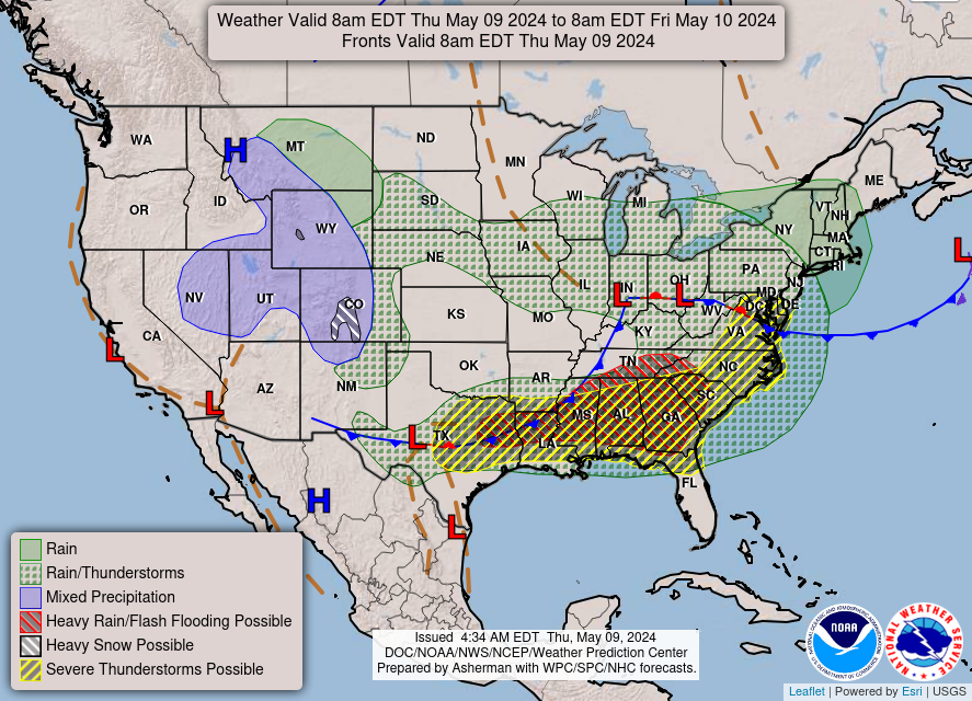
 Weather Map
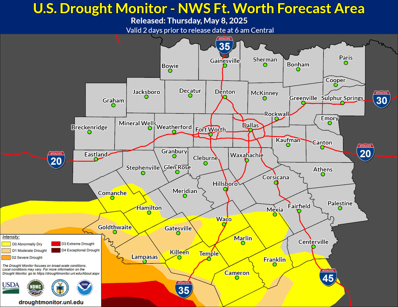
 Drought Monitor
 Follow us on YouTube