The Blank Middle East Map Template in PowerPoint format includes three slides, that is, the slide of Region outline, the region slide with countries and framed region slide. Firstly, our Blank region slide template is the blank one with countries. Secondly, there are 17 countries, labeling the major countries are Saudi Arabia, Iran, Egypt, and Turkey. Finally Middle East region is framed with seas. The Middle East Region is our hand-draw slide with more edges than other ordinary ones, giving more vivid map presentation for your target region with states.
The Middle East Map Template includes three slides.
Slide 1, Blank Map of Middle East with countries
The Middle East is a transcontinental region centered on Western Asia, Turkey (both in Asia and Europe), and Egypt (which is in Africa). Geographically, it is often interlinked with the neighboring Arab Peninsula, and it includes countries such as Iran, Iraq, Israel, Jordan, Lebanon, Palestine, Saudi Arabia, Syria, and the United Arab Emirates, among others.
Our Middle East map is for the region centered on Western Asia, Turkey, and Egypt in Africa. At the same time the Middle East lies at the centre of Eurasia , Africa, Mediterranean Sea and the Indian Ocean. It is known to all that Most of the countries that bordered the Persian Gulf have rich resoures of crude oil, so the petrochemical industry has been given top priority to develop with the cheap feedstock. Therefore users can edit the outline map to create their unique region maps and label target countries.
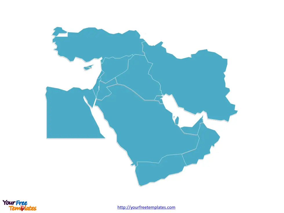
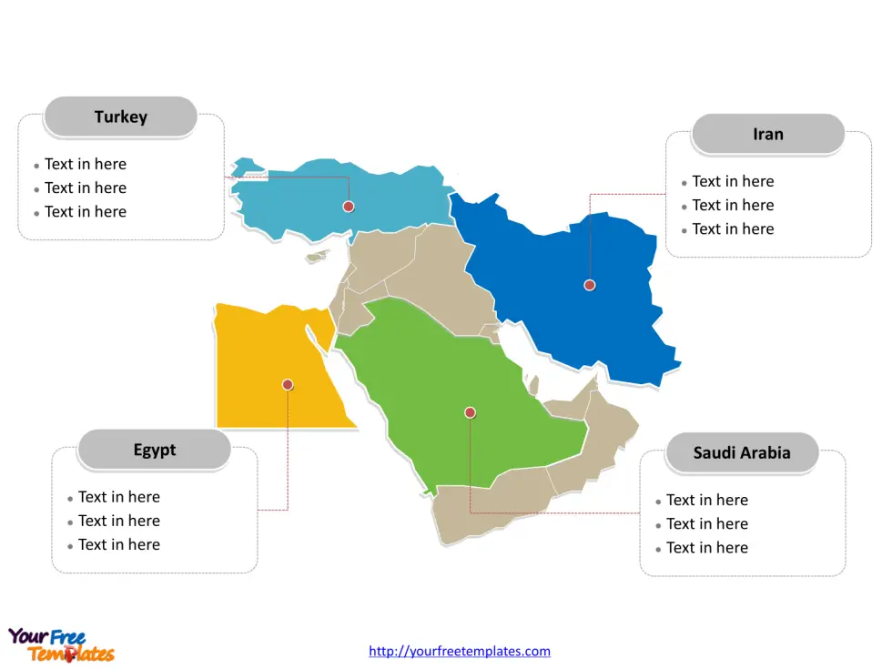
Slide 2, Blank Middle East map labeled with major countries
The slide of Middle East is the country political division of 17 countries of the middle east, highlighting Saudi Arabia, Iran, Egypt, and Turkey. The 17 countries are Bahrain, Cyprus, Egypt, Iran, Iraq, Israel, Jordan, Kuwait, Lebanon, Oman, Palestine, Qatar, Saudi Arabia, Syria, Turkey, United Arab Emirates, and Yemen. What is more, every individual political subdivision is an editable shape.
Strategically, the Middle East holds immense global importance due to several factors. The region is the cradle of major world religions like Judaism, Christianity, and Islam, giving it significant cultural and historical weight. Moreover, the Middle East is home to some of the world’s largest reserves of oil and natural gas, which make it a pivotal player in global energy markets and politics. The control over and access to these energy resources has been a central aspect of international relations and has often been a cause of conflict and competition.
In a word, you can change the texts, colors, sizes, highlight some map shapes, and add your charts. At the same time you can also refer to the fully labeled Middle East map in Wikipedia. Believe it or not, analysts from marketing research companies, consultants from professional firms are very happy with our map templates; because our maps can help to reduce their efforts and create good-looking maps.
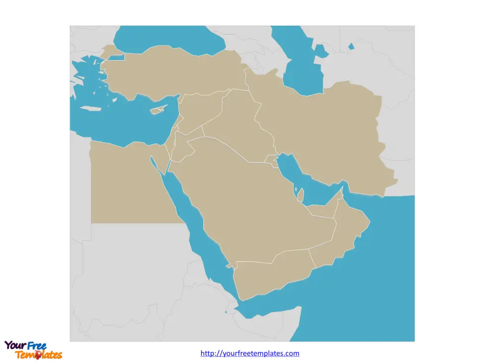
Slide 3, Blank Map of Middle East framed with seas
The Middle East region is surrounding by Mediterranean Sea from the north and Red Sea from the south in our map of the middle east.
Additionally, the Middle East’s geographic location makes it a critical land bridge connecting the continents of Asia, Africa, and Europe. This has implications for trade routes, military strategy, and geopolitical alliances. The Suez Canal, for instance, is a strategic waterway in Egypt that is a key node in global maritime trade. The stability and politics of the Middle East, therefore, have a direct impact on global economics, security, and diplomacy.
Size: 111K
Type: PPTX
Aspect Ratio: Standard 4:3
Click the blue button to download it.
Download the 4:3 Template
Aspect Ratio: Widescreen 16:9
Click the green button to download it.
Download the 16:9 Template
