 Airport
 City
City District
 Village
Amsterdam

Buy on Amazon
 Experience
 Attraction
 Street / Square
If you are planning your trip to Amsterdam, the interactive map on this page shows all the places of interest that you should visit and other useful points of interest for your trip, such as airports or other locations in the Netherlands. Simply click on the placeholders in the map, or in the list just below, to go to the in-depth tabs on the individual point of interest.
However, if you are used to organising your itineraries with a traditional paper guide, buy one of the following.


If you are looking for a map of Amsterdam, below you will find some useful maps ready to download and print. Click on each preview to download the map as a PDF, then decide whether you want to print them out or save them on your smartphone or tablet to consult them at any time during your trip.
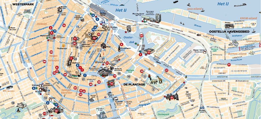
Just below is a map of Amsterdam’s main attractions and sights, indispensable for every tourist.
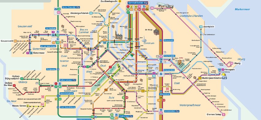
The Amsterdam Metro map. The most frequently used tram lines are also shown. This map is very practical by highlighting the means most used by tourists.
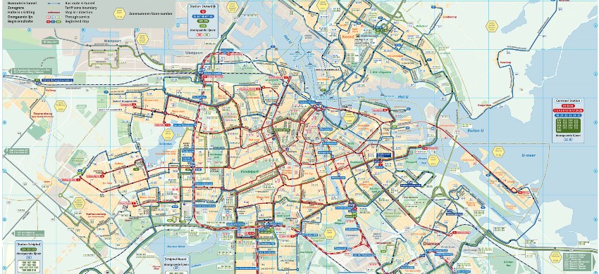
The complete map of all public transport in Amsterdam. This map shows all transport, i.e. metro lines, buses, trams and ferries. The map also shows the main attractions so you can keep them in mind for your travels.
Amsterdam is the capital of the Netherlands and is located about 40 km from the Belgian border, 80 km from Rotterdam and 100 km from Utrecht. The city is divided into three parts: the old city, the new city and the canal city: the old city is the historical centre of Amsterdam, with its 17th-century buildings and canals, the new city is the modern part of the city, with its skyscrapers and residential quarters, while the canal area is the most touristic part of the city, with its canals and shops.
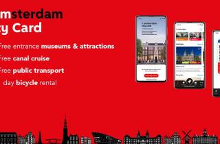
City Card allow you to save on public transport and / or on the entrances to the main tourist attractions.
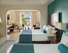 Hotel
Hotel 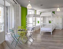 Budget accommodations
  Apartments
  Family Hotel
  Luxury Hotel
  House Boats