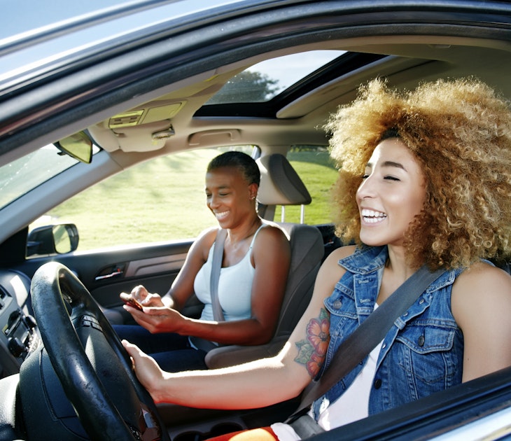
With notoriously lousy traffic and next-to-impossible parking, driving is most definitely not the best way to get around San Francisco. Fortunately, there are plenty of other excellent ways to traverse the city.
Most locals walk, cycle, ride Muni (the public transit network of buses and streetcars) or ride-share instead of taking a car. The city also has three cable car lines that are frequent, slow and scenic – and riding one is a must for any first-time visitor.
Here's everything you need to know to navigate San Francisco like a local.
Explore San Francisco on foot
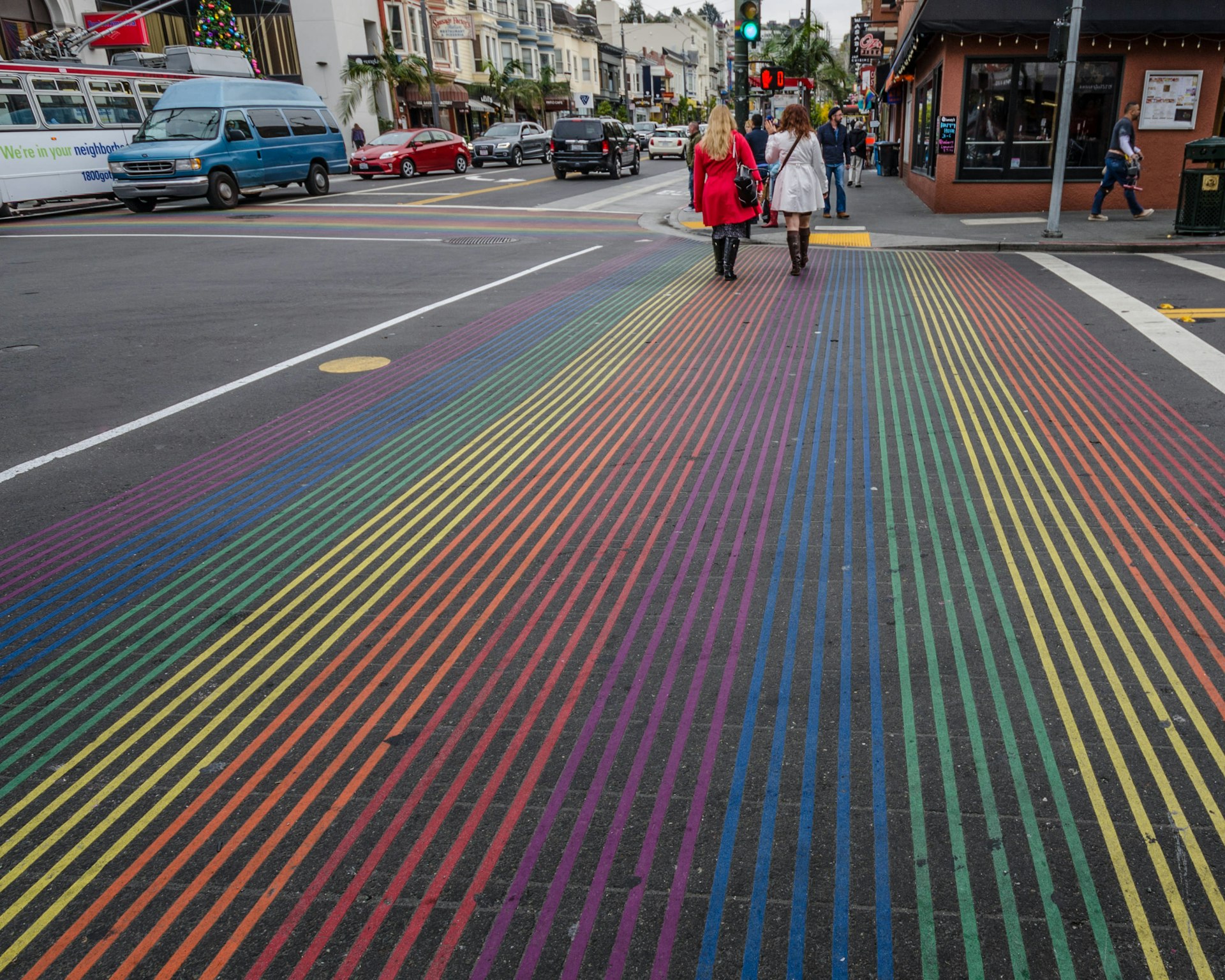
Regularly ranked as one of the most walkable cities in the US, a bunch of major sights in San Francisco are reachable on foot in a day. Walking is also always the best way to explore a neighborhood.
An initiative started in 2020 sees numerous streets across the city close to vehicular traffic one or more days a week – and some, such as John F Kennedy Dr in Golden Gate Park, are now closed to traffic for the foreseeable future.
There are also plenty of guided walking tours on offer, but you can just as easily set off on your own for a great day of exploring, especially in such locales as the Presidio. It has a number of trails outlined by SF Crosstown Trails, which connect the city's neighborhoods, open spaces, and local trails. The epic, eponymous 17-mile trail from Candlestick Point to Lands End is divided into five sections, which can be tackled separately, and gives a great overview of the city.
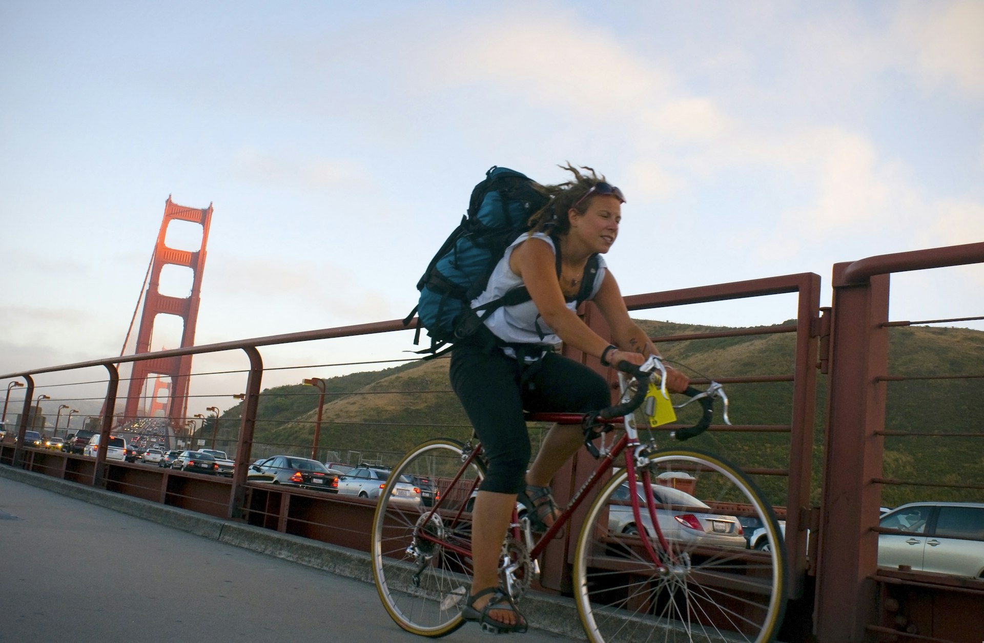
San Francisco has an extensive cycling network
San Francisco aims to be the most bike-friendly city in the US, and many locals have already jumped on the saddle. Many areas, such as Ocean Beach, the Marina and the waterfront, are ideal for cycling.
The city has an extensive bike network, and most sights are reachable on two wheels. The network covers 448 miles, and the travel authority has an online route map. The nonprofit San Francisco Bicycle Coalition also offers maps and information for cyclists.
Bike-sharing is available citywide through Bay Wheels. Both traditional bikes and e-bikes (electric bikes with removable batteries) can be hired from stations throughout San Francisco, the East Bay and San Jose and are available for single trips, day use or with monthly access passes.
Tips for using bike shares in San Francisco
Bay Wheels stations are located Downtown and at major intersections, but bikes come without helmets, and biking without proper protection will always be a little dangerous; consider bringing your own helmet to stay safe especially if hiring e-bikes.
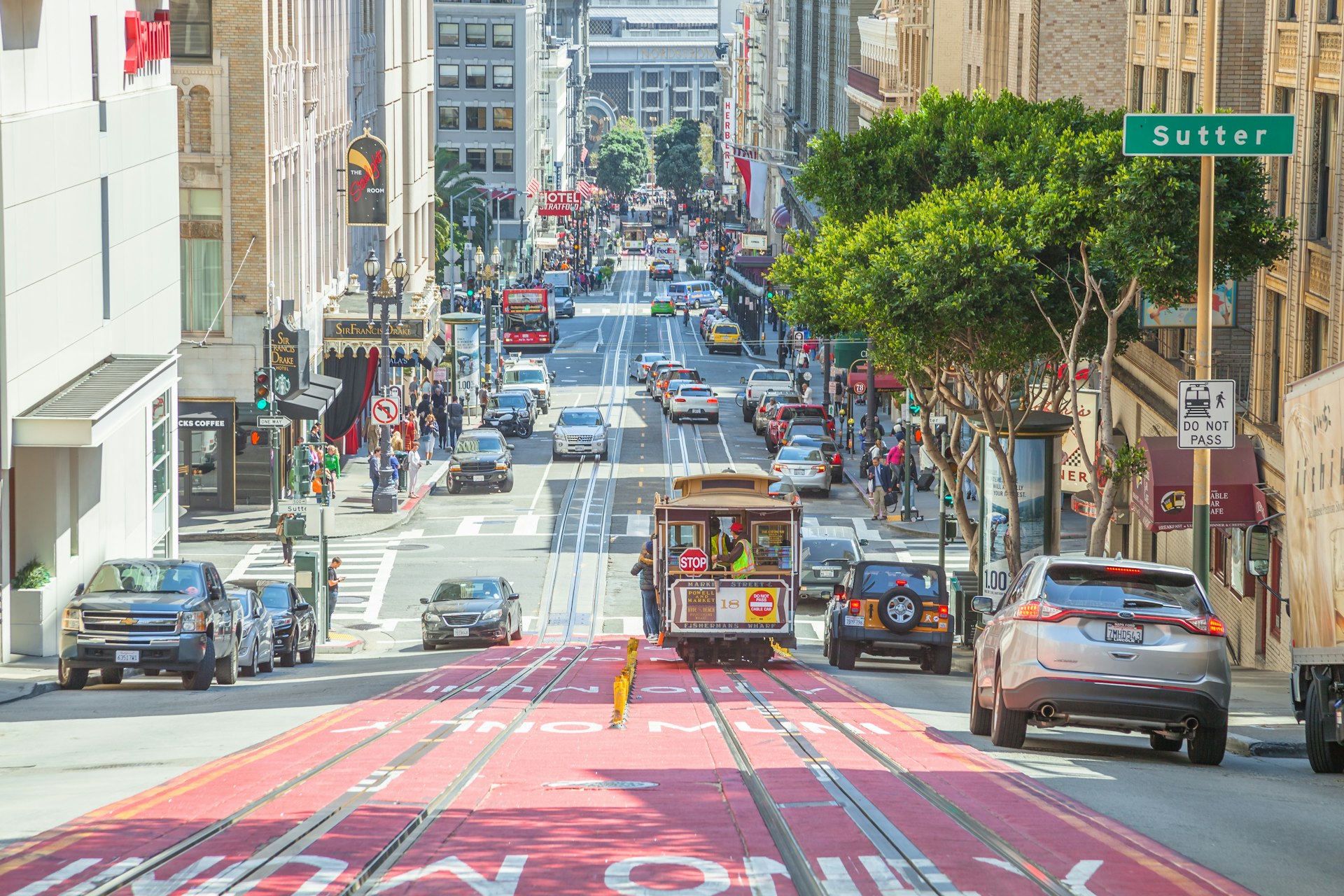
You can use Muni to see every part of San Francisco
Muni operates bus, streetcar and cable car lines. Buses and streetcars are referred to interchangeably as Muni. Some areas are better connected than others, but Muni spares you the costly hassle of driving and parking – and it's often faster.
Muni streetcars run in a subway under Market St, where they are called Muni Metro. Lines J, K, L, M, N and T are excellent means of reaching far-flung parts of the city. There is also the delightful historic streetcar line F, which runs above ground on Market St to Fisherman's Wharf along the waterfront.
A highly-anticipated new subway line linking the Giants stadium, Caltrain terminal, Downtown and Chinatown opened in early 2023. It's called the T Third line and allows easy transfers to all the streetcar lines.
Maps and schedule
For route planning and schedules, consult Transit 511. For real-time departures, use NextMuni, which syncs with GPS on buses and streetcars to provide the best estimates of arrival times.
Essential and free Muni Street and Transit Maps are available online. Also useful is the MuniMobile app from the App Store and Google Play, which you can also use to pay fares. Note that service and schedules change, so check all routes and schedules in advance and on the day of travel.
Nighttime schedule
Nighttime and weekend service is less frequent than on weekdays. Owl service (half-hourly from 12am to 5am) operates only on a few principal lines; for schedules, see All Nighter 511.
Tickets and costs
On buses and streetcars, single tickets can be purchased from drivers (exact change is required) or at underground Muni stations (where machines give change) and cost $3. If you use a reloadable Clipper card or the MuniMobile app, the fare is only $2.50. A single fare is good for two hours of travel.
A MuniMobile all-day ticket is $5, whether bought with the MuniMobile app or at a farebox or kiosk. It allows unlimited rides on the entire system except for the cable cars.
Fares are 50% less for people aged 65 and older – anyone aged 18 or younger rides for free.

Cable car tickets
Cable car tickets cost $8 per ride and can be bought at cable car ticket kiosks or on board from the conductor.
However, a Muni Visitor Passport (1/3/7 days $24/36/47 or $13/31/41 with the MuniMobile app) allows unlimited travel on all Muni transportation, including cable cars.
It's sold at ticket kiosks and other locations.
Clipper Card
Clipper Cards are a reloadable fare system that works on Muni, BART and other transit systems across the Bay Area. It automatically deducts fares and applies transfers (eg, only one Muni fare is deducted per 90-minute period). You can download a Clipper Card on your phone for free or purchase a physical card for $3.
Downtown Muni/BART stations have machines that sell Clipper cards and fare credit. Clipper Cards, whether virtual on your phone or in physical form, can be linked to a credit card so that they automatically refill with value.
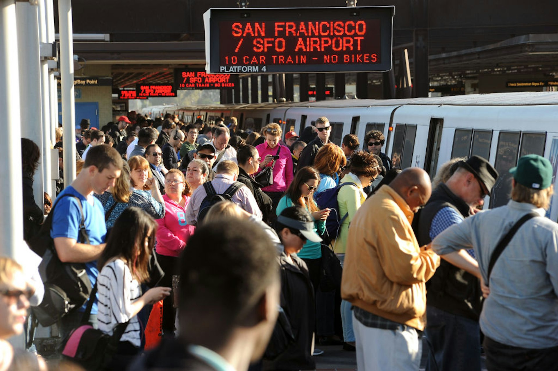
Get beyond the city center on the BART
BART (Bay Area Rapid Transit) is the fastest link between downtown and San Francisco International Airport, Oakland and Berkeley. Four of the system's six lines pass through SF. BART serves downtown, Market St and the Mission District well but does not reach most other areas of the city.
The reloadable Clipper Card system is the only way to pay your fare on BART. You can buy one for a one-time fee of $3 at BART stations or purchase one virtually and install it on your phone (this is free).
BART fares are based on distance, so you'll need your Clipper Card (or phone) to both enter and exit the system. The fare from SFO to downtown San Francisco is $9.65.
Tip for arriving at San Francisco International Airport (SFO)
If you're arriving at SFO, set up your phone with a Clipper Card before you arrive so you can avoid the long lines of jet-lagged passengers trying to use the BART ticket machines.
Catch the Caltrain if you want to go for a day trip
Caltrain is the train service linking San Francisco to cities along the Peninsula south of the city and on to the South Bay and San Jose. It runs services at least hourly throughout the day and is reasonably fast and very comfortable.
Buy tickets from machines in stations using the Caltrain app or with a Clipper Card. From the depot at 4th and King Sts in San Francisco, Caltrain heads south to Millbrae (connecting to BART and San Francisco airport; 30 minutes), Palo Alto (one hour) and San Jose (1½ hours).
Rest your weary legs in a taxi
Taxi fares start at $4.15 and run about $3.25 per mile. Add 15% to the fare as a tip ($1 minimum). For the quickest service in San Francisco, download the Flywheel app (for Apple and Android), which dispatches the nearest taxi.
Lyft and Uber are based in San Francisco and are ubiquitous. Note that with surge pricing, traditional taxi cabs are often cheaper.
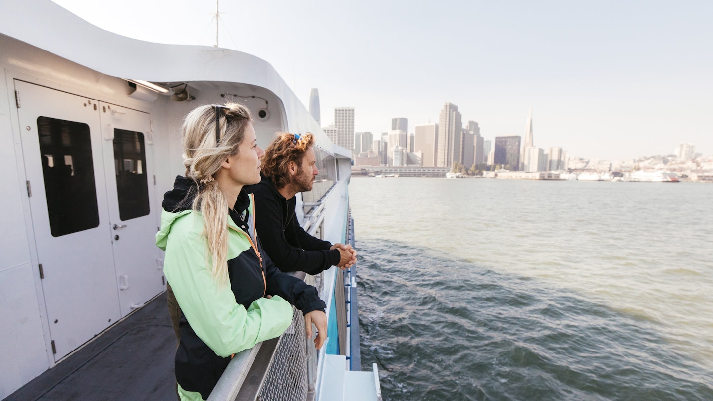
Take to the water and travel by ferry
The iconic Ferry Building is a destination in itself, not the least for its excellent eating and drinking options plus the great bay views. It is also the base for ferry routes that radiate across the Bay Area.
Alcatraz
Alcatraz City Cruises runs the boats for the National Park Service that serve "The Rock." Boats depart from Pier 33 throughout the day; reservations are essential.
East Bay
San Francisco Bay Ferry operates from both Pier 41 and the Ferry Building to Oakland/Alameda, Richmond and Vallejo in the East Bay.
Marin County
Golden Gate Transit Ferries runs regular ferry services from the Ferry Building to Marin County ferry terminals in Larkspur, Tiburon and Sausalito. These ferries pass Alcatraz and offer great sightseeing in addition to vital transit.
Blue & Gold Fleet operates ferries to Tiburon and Sausalito from Pier 41 near Fisherman's Wharf.
How to navigate the hassle of a car or motorbike
If you can, avoid driving in San Francisco: heavy traffic is a given, street parking is harder to find than true love, meter readers are ruthless, and vehicle break-ins are a plague.
Traffic
San Francisco streets mostly follow a grid bisected by Market St. Avoid driving during rush hours. Before heading to any bridge, airport or other traffic choke-point, check 511.org for traffic updates.
Parking
For real-time details on how to find parking in the city and also how to pay your parking meter by app, see SF Park. Parking is tricky and costly, especially downtown. Hotel parking costs around $30 to $60 per day, about the same as public parking lots and garages.
Parking restrictions
Parking restrictions are indicated by the following color-coded sidewalk curbs (in some popular neighborhoods, it can seem like all of the few available parking spots have restrictions):
- Blue Disabled parking only; placard required.
- Green Ten-minute parking zone from 9am to 6pm.
- Red No parking or stopping.
- White For picking up or dropping off passengers only; note posted times.
- Yellow Loading zone during posted times.
Car rental
All major car rental firms operate at SFO (San Francisco International Airport) and locations across the city and region. Rates vary depending on demand – when large conventions come to SF, you may find no cars available at all. Note that taxes and fees greatly increase the initial rates quoted.
Tips for car rental in San Francisco
A smart strategy is to avoid renting a car during your time in the city and wait until you venture further afield. Note that anything left visible in a car is considered fair game for smash-and-grab thieves in the city.
Accessible transportation in San Francisco
Muni, BART, Caltrain and the ferries are all fully accessible. The city streets are also mostly accessible to people with differing mobility needs.
For more information on accessible travel, download Lonely Planet's free Accessible Travel ebook.