Basin Hydrological Forecast
| 18 MAJOR RIVER BASINS | STATUS |
|---|---|
| Pampanga | Non-Flood Watch |
| Agno | Non-Flood Watch |
| Bicol | Non-Flood Watch |
| Cagayan | Non-Flood Watch |
| NCR/Pasig Marikina Laguna de Bay | Non-Flood Watch |
| Abra | Non-Flood Watch |
| Cagayan De Oro | Non-Flood Watch |
| Ilog-Hilabangan | Non-Flood Watch |
| Jalaur | Non-Flood Watch |
| Panay | Non-Flood Watch |
| Tagum-Libuganon | Non-Flood Watch |
| Apayao-Abulog | Non-Flood Watch |
| Agusan | Non-Flood Watch |
| Agus | Non-Flood Watch |
| Buayan-Malungon | Non-Flood Watch |
| Davao | Non-Flood Watch |
| Mindanao | Non-Flood Watch |
| Tagoloan | Non-Flood Watch |
| DAMS/RESERVOIR (SUB BASIN) | STATUS |
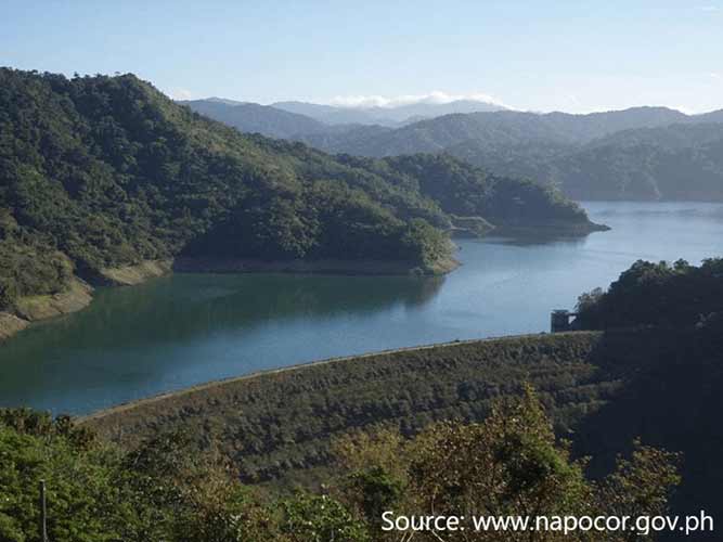
| Angat Sub-basin | Non-Flood Watch |
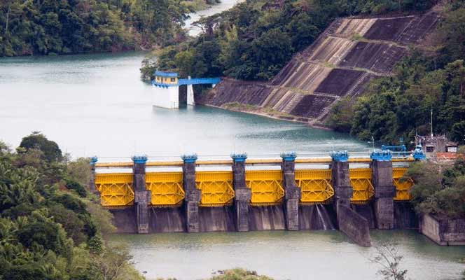
| Binga-Ambuklao-San Roque Sub-basin | Non-Flood Watch |
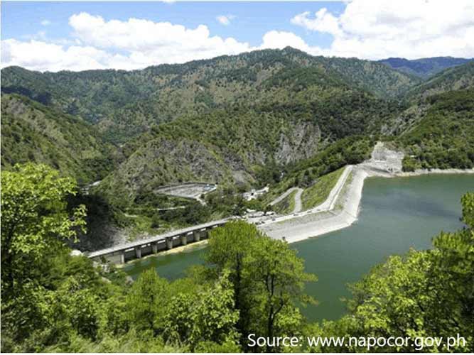
| Pantabangan Sub-basin | Non-Flood Watch |
| Magat Sub-basin | Non-Flood Watch |
General Flood Advisory