
Look at the usual flat map of the world and it appears that Greenland is nearly as big as Africa. But it’s not even close. Africa is 14 times larger. Flat maps significantly distort the sizes of countries and continents, the result of converting a spherical surface to a handy rectangle. The area of landmasses becomes increasingly exaggerated toward the poles.
As a result, we tend to underestimate the size of countries close to the equator, and substantially overestimate the size of countries closer to the poles. On our actual planet, Africa is bigger than China, India, the contiguous U.S. and most of Europe—combined! Scientific American just published a correctly proportioned image to show how Africa swallows up these nations, with Japan thrown in. It also turns out that Saudi Arabia has more area than France, Spain, Germany, Poland and Italy together.

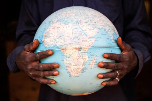
For the record, then, a list of geographic sizes is below. Indeed, Africa is a continent, not a country, but I think you’ll be impressed at how much larger it is than you probably thought. Realizing the true size of Africa also helps us appreciate how daunting it may be to solve Africa’s poverty and food challenges.
Geographic Area (millions of square kilometers)
Top 15 countries
|
(Africa) |
30.4 |
|
Russia |
17.1 |
|
Canada |
10.0 |
|
China |
9.6 |
|
U.S. |
9.5 |
|
Brazil |
8.5 |
|
Australia |
7.7 |
|
India |
3.3 |
|
Argentina |
2.8 |
|
Kazakhstan |
2.7 |
|
Algeria |
2.4 |
|
DR Congo |
2.3 |
|
Greenland |
2.2 |
|
Saudi Arabia |
2.1 |
|
Mexico |
2.0 |
|
Indonesia |
1.9 |
Other nations and city-states
|
South Africa |
1.2 |
|
Venezuela |
0.9 |
|
Afghanistan |
0.65 |
|
Somalia |
0.64 |
|
France |
0.55 |
|
Spain |
0.51 |
|
Germany |
0.36 |
|
Poland |
0.31 |
|
Italy |
0.30 |
|
Luxembourg |
0.003 |
|
Monaco |
0.000002 |
|
Vatican City |
0.0000004 |
 Rights & Permissions

