Hawarden High School
Hawarden High School is an English language medium secondary school in Hawarden, Flintshire, Wales. It is part of the Flintshire LEA. The school traces its history back to 1606 when a single-classroom grammar school was established with £300 left by a local resident named George Ledsham.- Type: School
- Description: school in Flintshire, UK
- Address: The Highway, Deeside, CH5 3DJ
Notable Places in the Area
Hawarden railway station
Railway station

Photo: Ansbaradigeidfran, Public domain.
Hawarden railway station serves the village of Hawarden in Flintshire, Wales. Hawarden railway station is situated 2,300 feet southeast of Hawarden High School.
Gladstone's Library
Library

Photo: Llywelyn2000, CC BY-SA 3.0.
Gladstone's Library, known until 2010 as St Deiniol's Library, is a residential library… Gladstone's Library is situated 3,200 feet east of Hawarden High School.
Hawarden Castle
Castle

Photo: Rept0n1x, CC BY-SA 3.0.
Hawarden Old Castle is a Grade I listed medieval castle near Hawarden, Flintshire, Wales. Hawarden Castle is situated 1 mile southeast of Hawarden High School.
Localities in the Area
Ewloe
Village
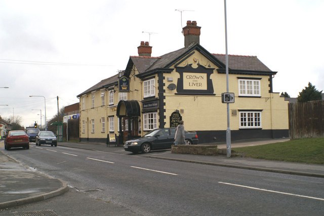
Photo: David Long, CC BY-SA 2.0.
Ewloe is a village and electoral ward in the community of Hawarden in Flintshire, Wales.
Hawarden
Village

Photo: Wikimedia, CC BY-SA 2.0.
Hawarden is a village and community in Flintshire, Wales.
Aston Park
Village
Aston Park, also known as Aston, is a village in the community of Hawarden, in the principal area of Flintshire, north Wales.
Hawarden High School
- Categories: secondary school, high school and education
- Location: Hawarden, Flintshire, Wales, United Kingdom, Britain and Ireland, Europe
- View on OpenStreetMap
Latitude
53.18813° or 53° 11' 17" northLongitude
-3.0412° or 3° 2' 28" westOpen Location Code
9C5R5XQ5+7GOpenStreetMap ID
way 393413019OpenStreetMap Feature
amenity=schoolWikidata ID
Q15060065Hawarden High School Satellite Map
© OpenStreetMap, Mapbox and Maxar
Also Known As
- English: Ysgol Uwchradd Penarlâg
- Irish: Ardscoil Hawarden
- Welsh: Hawarden High School
- Welsh: Ysgol Uwchradd Penarlâg
In the Area
Hawarden High School is situated close to the pitch Gladstone Crown Green Bowls Club and Gladstone park.
Landmarks
- Gladstone Playing FieldsRecreation area, 750 feet east
- Highway Methodist ChurchChurch, 1,500 feet northwest
- Penarlag C.P. SchoolSchool, 1,500 feet north
- Ewloe Post OfficePost office, 1,600 feet northwest
- Sacred Heart Catholic ChurchChurch, 2,000 feet east
- Grooms DaleForest
Other Places
- Hawarden, The Highway / Hawarden High SchoolBus stop
- Hawarden, The Highway / Hawarden High SchoolBus stop, 420 feet northwest
- Hawarden, Wood Lane / Kearsley AvenueBus stop, 890 feet northwest
- Kearsley FarmFarm, 1,000 feet south
- Hawarden, Wood Lane / Kearsley AvenueBus stop, 1,000 feet west
- Hawarden, The Highway / GroomscroftBus stop, 1,000 feet east
Popular Destinations in Wales
Escape to a Random Place
Discover the schools college abou al kassem chebi in Tunisia and Sootaek Elementary School in Gyeonggi, South Korea.
About Mapcarta. Thanks to Mapbox for providing amazing maps. Data © OpenStreetMap contributors and available under the Open Database License. Text is available under the CC BY-SA 4.0 license, excluding photos, directions and the map. Description text is based on the Wikipdia page Hawarden High School. Photo: Wikimedia, CC0.