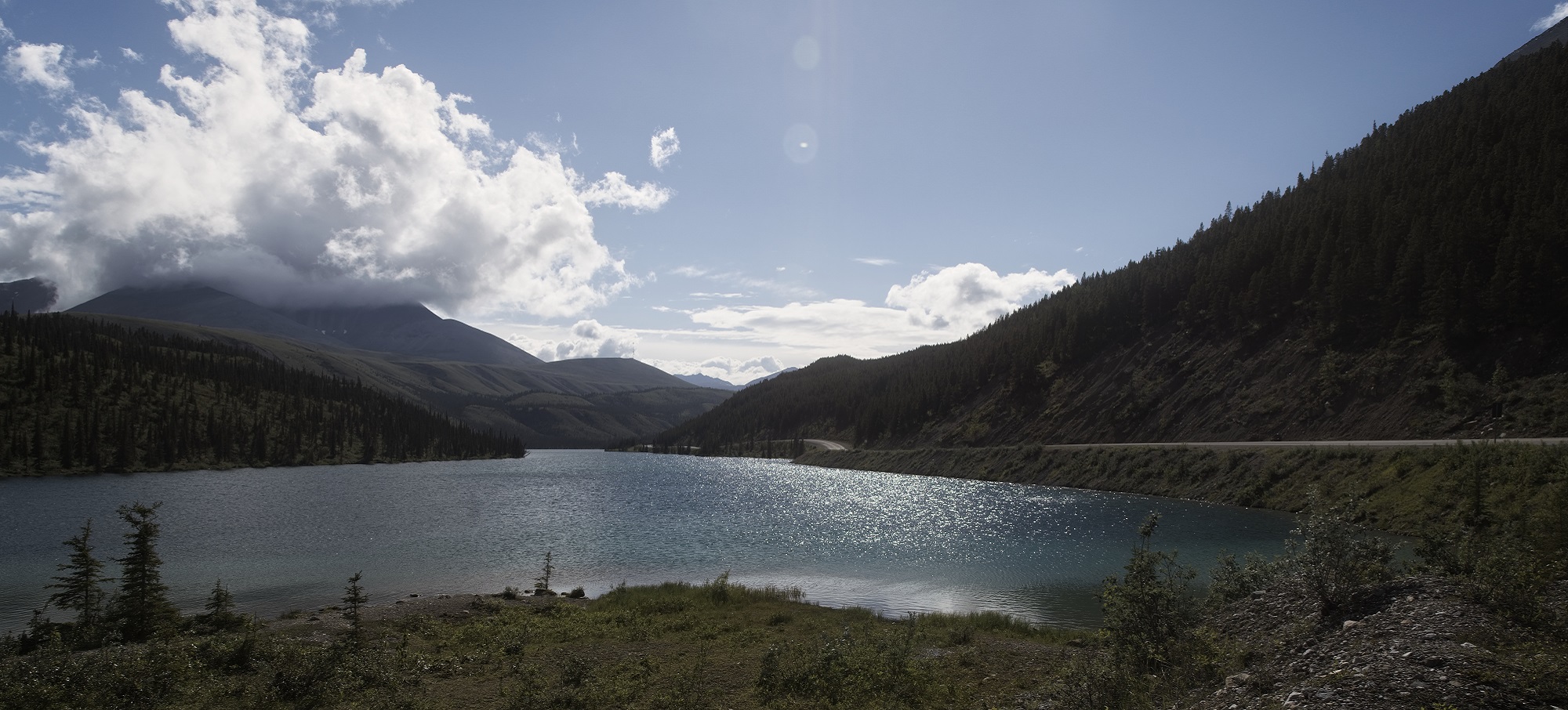
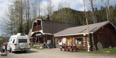
Summit Lake - Alaska Highway 97, BC
Alaska Highway 97
The Alaska Highway 97 (Highway 97), is recognized as an Event of National Historic Significance as well as an International Historical Engineering Landmark. The Alaska Highway is originally a product of the military necessity dating back to the Japanese attack on Pearl Harbor. It was originally built as a supply road that could support the effort to defend North America and was built by 10,000 American troops and 16,000 civilians from both Canada and the United States. Construction conditions were harrowing as workers bulldozed through 1,500 miles of mountains and muskeg.
Nowadays, the Alaska Highway is renowned as one of the most scenic drives in the Province of BC and should be a “must see” on everyone’s bucket list. Traveling the entire length of the Alaska Highway starts from Prince George and finds its way to Watson Lake in the Yukon. In actuality, the Alaska Highway continues far beyond the borders of the Yukon, extending to Whitehorse and eventually terminating in Fairbanks, Alaska. However, for the purposes of discovering Northern BC, this highway fittingly starts in Prince George, winds up through Northern BC, and ends in Watson Lake. Your trip along Highway 97 will offer stunning scenery and historic towns with many stops along the way.
Alaska Hwy – Prince George to Fort Nelson
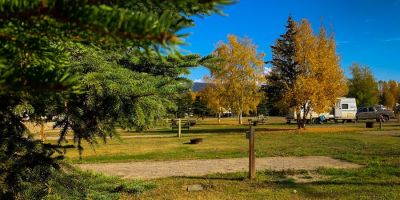
Heading north from Prince George, the Alaska Highway will take you through rolling hills, forests and lands dotted with lakes. The communities of Bear Lake and McLeod Lake are en route before arriving at Mackenzie Junction. At this point in the journey, a quick side trip north along Highway 39 to Mackenzie is worthwhile. Mackenzie offers outdoor recreation opportunities on many lakes and trails. Winter activities include snowmobiling and cross-country skiing. Returning to Highway 97, you will head into the mountains through Pine Pass, following the Pine River into Chetwynd and a picturesque drive onwards to Dawson Creek.
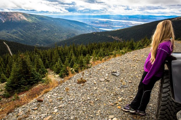
Mackenzie Photo SimonSees.com
Dawson Creek is located at Mile 0 of the Alaska Highway. In 1942, Dawson Creek’s population exploded when U.S. troops led Canadian and American civilians in the rush to construct a 2,400 km (1,491 mi) military supply route to Alaska. The Mile 0 Post in the middle of town is one of the most photographed landmarks in the Region. Dawson Creek had become however, an important farming centre long before the Alaska Highway was built, and this tradition is reflected in the annual exhibition and stampede, a regional highlight.
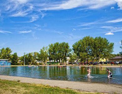
Further along the Highway, Taylor overlooks the “mighty” Peace River and from there it’s a short drive to the “energetic city” of Fort St. John. Just north of the city is popular Charlie Lake where you can stop and enjoy a swim, canoeing, windsurfing and other water sports. Then on to Pink Mountain named for the pink glow that bathes the mountain at sunrise created by the stunning fireweed blossoms. Continuing the drive north it is wide open, paved and includes numerous river valleys and mountain vistas before arriving in Fort Nelson.
Northern Rockies
Fort Nelson began as a fur trading post in 1805. In 1942, it was a base for pushing the Alaska Highway through the wilderness. Today, it is a growing tourism centre for eco-travel and adventure and known as the Gateway to the Northern Rockies.
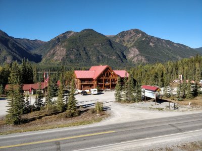
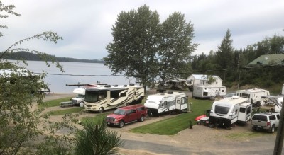
From Fort Nelson the road climbs through sharp bends, dramatic scenery and abundant wildlife before arriving at Steamboat. You’ll then drive through Stone Mountain Park. The highway clips the park’s north end about 151 km (94 mi) from Fort Nelson. The park’s Summit Lake, at a staggering 1,295m (4,249ft), is the highest point on the Alaska Highway and a favourite fishing spot. Wild, rugged country and quintessential backcountry hiking can be found throughout the park where you share the alpine tundra and deep valleys with stone sheep, caribou, moose, deer and bear. Features of the Wokkpash Recreation Area in the south end of the park include gaunt erosion pillars called hoodoos, which stand 30m (98ft) tall. Forlorn Gorge is another unique land feature falling 150m (429ft) deep. Heading out of the park and on to Toad River, the road hugs the shore of jade colored Muncho Lake, the “jewel of the north”, and reaches Liard River Hot Springs, a must stop to not only luxuriate in these relaxing natural hot pools, but to see the diversity of birdlife and tropical exotic plants including 14 different varieties of orchids that thrive here.
From here the highway now heads northwest to the Yukon border. Upon leaving BC (though not for the last time), it is a short distance to Watson Lake. Visitors should take a break here and see the Northern Lights Centre as this may be the only place to see the amazing Aurora Borealis in the summer time due to the virtually 24-hr daylight the further north you travel. At the Northern Lights Centre you will see colourful dancing lights through stunning panoramic images, surround sound and interactive displays.
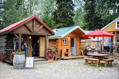
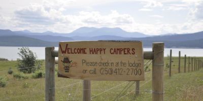
Alaska Highway 97 and Nearby Accommodations
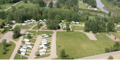
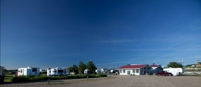
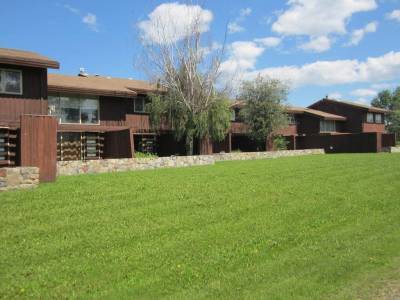
British Columbia Lodging and Campgrounds Association Members
List
Map
12 Listings
Explore the Communities of Alaska Highway 97
- Charlie Lake
- Chetwynd
- Coal River
- Dawson Creek
- Fort Nelson
- Fort St. John
- Hudson’s Hope
- Mackenzie
- Muncho Lake
- Taylor
- Tetsa River
- Toad River
Discover the Northern British Columbia Sub Regions
The Super Camping / Select Lodging Guide
First Published in 1989
BC Lodging & Campgrounds Association
209 - 3003 St John's Street
Port Moody, BC
Canada V3H 2C4