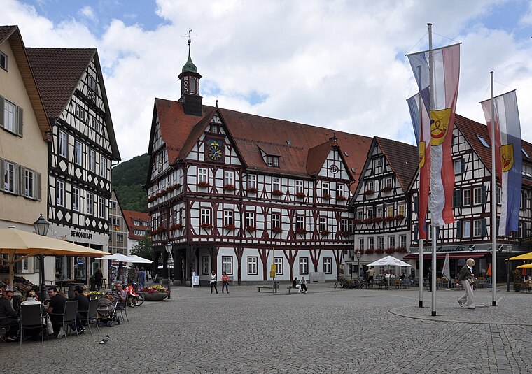
Bad Urach
Bad Urach is a locality in Bad Urach, Reutlingen, Baden-Württemberg and has about 12,800 residents. Bad Urach is situated nearby to the locality Bleiche and the village Hülben.Notable Places in the Area


Localities in the Area
Hülben
Village

Photo: Aspiriniks, CC BY-SA 3.0.
Hülben is a village situated 3 km north of Bad Urach.
Seeburg
Village

Photo: Xocolatl, Public domain.
Seeburg is a village situated 6 km southeast of Bad Urach.
Konradfels
Locality
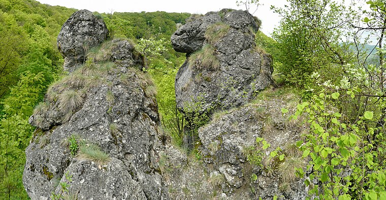
Photo: Ramessos, CC BY-SA 3.0.
Konradfels is a locality situated 7 km northeast of Bad Urach.
Bad Urach
- Type: Locality with 12,800 residents
- Location: Bad Urach, Reutlingen, Tübingen Region, Baden-Württemberg, Germany, Central Europe, Europe
- View on OpenStreetMap
Latitude
48.49107° or 48° 29' 28" northLongitude
9.40009° or 9° 24' 0" eastPopulation
12,800Elevation
463 metres (1,519 feet)United Nations Location Code
DE URHOpen Location Code
8FWFFCR2+C2GeoNames ID
2818246Bad Urach Satellite Map
© OpenStreetMap, Mapbox and Maxar
Also Known As
- Arabic: باد أوراخ
- Bulgarian: Бад Урах
- Chinese: 巴特乌拉赫
- Kazakh: Бад-Урах
- Kirghiz: Бад-Урах
- Persian: باد اوراخ
- Russian: Бад-Урах
- Serbian: Бад Урах
- Ukrainian: Бад-Урах
- Urach
Other Places Named Bad Urach
In the Area
Bad Urach is situated close to the village Sirchingen and the suburb Buchhalde.
Localities
- WittlingenVillage, 4 km southeast
- UpfingenVillage, 4 km south
- BleichstettenVillage, 4½ km southwest
- HengenVillage, 5 km east
- LauternLocality, 5 km southwest
- Sankt JohannMunicipality, 6 km southwest
Landmarks
- ElsachStream
- HochbergHill
- HannRidge
- Ruine HohenurachRuin
- Runder BergPeak, 2½ km west
- HochgesträßRidge, 2½ km east
Popular Destinations in Baden-Württemberg
Escape to a Random Place
Discover the localities Baralty in County Mayo, Ireland and Madi County in Northern Uganda, Uganda.
About Mapcarta. Thanks to Mapbox for providing amazing maps. Text is available under the CC BY-SA 4.0 license, excluding photos, directions and the map. Photo: Traveler100, CC BY-SA 3.0.