Adding popular basemaps in QGIS
This article shows how to add a base map in QGIS. You can easily add popular basemaps from various providers to your projects.
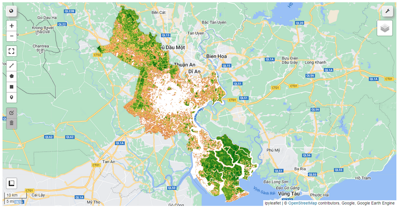
In QGIS, you can add base maps to your projects to provide context for other map layers. Base maps include features like roads, rivers, and land-use patterns, helping users orient themselves and understand the geographical context of their data.
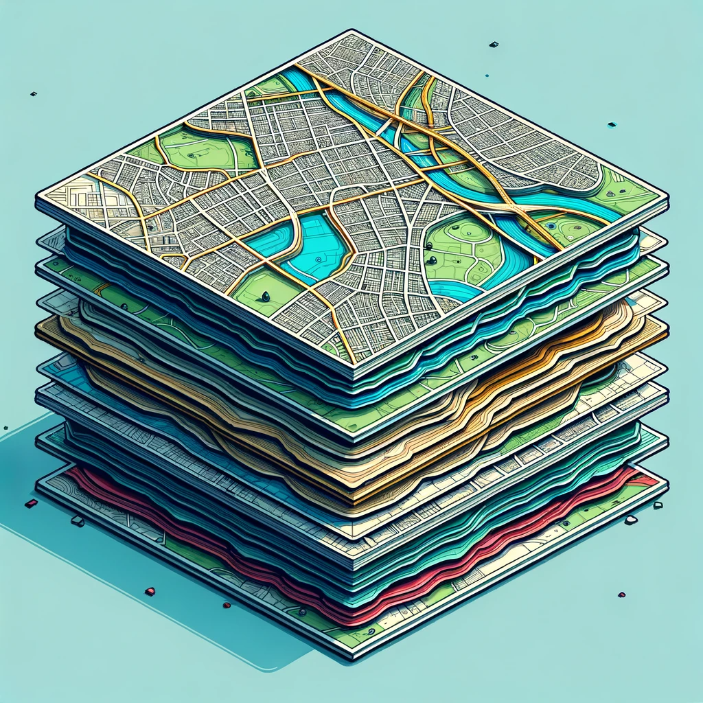
By combining base maps with thematic or point data layers, you can gain additional information about specific locations or areas. For instance, a base map may display city streets and buildings, while a thematic layer reveals restaurant or park locations.
QGIS offers various options for adding base maps. You can choose from popular online providers like Google Maps, OpenStreetMap, and Bing Maps. Additionally, you can create custom base maps by importing data from sources such as shapefiles, CSV files, or WMS services.
To add predefined global imagery basemaps to QGIS, you can follow these steps:
- Open QGIS and create a new project.
- In the Browser panel, click on the “XYZ Tiles” button.
- In the XYZ Tiles window, click on the “New Connection” button.
- In the “New XYZ Connection” window, enter the following information for the respective basemaps:
For Google Maps Satellite Imagery:
- Name: Google Maps Satellite Imagery
- URL: https://mt1.google.com/vt/lyrs=y&x={x}&y={y}&z={z}
For Bing Maps Satellite Imagery:
- Name: Bing Maps Satellite Imagery
- URL: https://t0.tiles.virtualearth.net/tiles/a{q}.jpeg?g=685&mkt=en-us&n=z
For ESRI World Imagery:
- Name: ESRI World Imagery
- URL: https://services.arcgisonline.com/arcgis/rest/services/World_Imagery/MapServer/tile/{z}/{y}/{x}
5. Click “OK” to save the connection.
6. In the XYZ Tiles window, select the desired basemap connection.
7. Click “Add” to add the selected basemap to your project.
8. The basemap will appear in the Layers panel. You can adjust the opacity and style of the basemap as needed.
To add predefined global topography basemaps to QGIS, you can follow similar steps:
- In the Browser panel, click on the “XYZ Tiles” button.
- In the XYZ Tiles window, click on the “New Connection” button.
For OpenTopo:
- Name: OpenTopo
- URL: https://tile.opentopomap.org/{z}/{x}/{y}.png
For Mapzen Global Terrain:
- Name: Mapzen Global Terrain
- URL: https://s3.amazonaws.com/elevation-tiles-prod/terrarium/{z}/{x}/{y}.png
3. Follow steps 5 to 8 mentioned above to add the desired topography basemap to your project.
4. Additionally, here are URLs for other basemaps you can use:
- Stamen Toner: https://stamen-tiles.a.ssl.fastly.net/toner/{z}/{x}/{y}.png
- Stamen Watercolor: https://stamen-tiles.a.ssl.fastly.net/watercolor/{z}/{x}/{y}.jpg
- OpenStreetMap: https://tile.openstreetmap.org/{z}/{x}/{y}.png
By following these steps and using the provided URLs, you can add a variety of imagery and topography basemaps to your QGIS projects.


