Radom (Ра́дом)
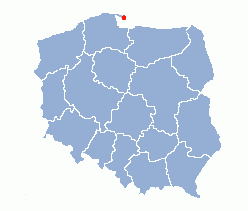
Radom is a city in central Poland with 227,309 inhabitants. It is located on the Mleczna River in the Masovian Voivodeship 100 km south of Poland's capital, Warsaw.
The oldest traces of human habitation at the Mleczna River reach back to late earlier stone age (approx. 10 000 years BC). These include remains of a silex processing workshop. Archeologists have discovered over a hundred sites where historic populations left traces of their activity.
Radom proper and its history began in early Middle Ages.A rural settlement existed in the Mleczna valley in the 8th and 9th centuries. The second half of the 10th century saw construction of a fortified burgh with a double ring of walls and a moot. In time, it became a chatelain's seat. The first written mention of Radom can be found in pope Hadrian IV's bull of 1155. The name of Radom is usually derived from the proper name Radomir or the name of the tribe Radomierzanie.
During the 13th century, the so-called market setlement with St. Wenceslaus church grew on the extensive headland. Radom district is believed to have received Środa municipal rights at the time.
The 14th century witnessed a period of development and changes. Foundation of New Radom is associated with king Casimir the Great and his efforts to strengthen the position of towns and cities. The New Town, which received Magdeburg rights in 1364, was built on medieval principles. Walls with defence turrets, three entrance gates, a town hall, church, and castle were erected. The town had self-government and a loal court.
The city flurished under the Jagellonian dynasty. Most privileges were granted in the 15th and 16th centuries. Guilds of weavers, tanners, and other crafts were established. Trade and services grew owing to the convenient situation at an intersection of roads.
Radom and its castle frequently hosted royal guests, meetings of parliament and the state weight and measures office.
In 1401, the first deed of a union between Poland and Lithuania, the so-called 'Radom and Vilnius union', was signed here. In 1481-82, Kazimierz, son of king Kazimierz Jagiellończyk and governor of the state, resided in Radom. In 1505, 'Nihil novi' constitution and a collection of Polish laws, called Jan Łaski statutes, were approved in the city. In 1613, Radom became the seat of the Royal Treasury Tribunal.
The 17th century was not beneficial to the city, visited by 'the plague' and invaded by Swedes, who burnt down the town and the castle. 37 households and approximately 375 residents survived the military operations.
Radom Confederation of 1767, convened under the auspices of duke Karol Stanisław Radziwiłł, was a later historical event worthy of note. Epidemies, a great fire, and marches of Polish and foreign troops brought decay of the city.
Radom was then occupied by Austria and subsequently Russia. It continued to fulfill important administrative functions as the capital of West Galicia District, Warsaw Duchy department, Sandomierz voivodship of the Polish Kingdom, and finally Radom gubernya.
The town continued to gradually develop thanks to growth of leather, metal, and food industries. A highway was built to Warsaw, as well as a railroad route Dęblin - Radom – Dąbrowa Górnicza, streets were lit with electricity.
Local population took part in national uprisings, independence and revolutionary efforts, struggles for Polish education (1904-1908).
Colonel Dionizy Czachowski's part in the January Uprising of 1864, death of the student assassin Stanisław Werner in 1906, civic courage of the teacher Prosper Jarzyński, principal of the first Polish school, are memorable events of that time.
After WW1 ended and Poland regained independence in 1918, growth of the city decidedly accelerated. Radom became part of the Central Industrial District. In effect, the State Weapon Factory, the most up-to-date in Poland, and Planty housing estate for its employees were built.
A telephone factory, cooperating with Ericsson of Sweden, wood and tobacco plants were created. Water and gas supply and sewage disposal systems, an airfield were constructed. That was accompanied by growth of culture: theatre, cinemas, comunity centres, museums, libraries, and periodical publications. Victory of the socialist party PPS in local elections translated into welfare campaigns, child care, building of workers' accommodation.
Radom district was established in the time of German occupation during WW2. 1939 – 1945 witnessed terror, executions at Firlej, sending to concentration camps, extermination of Radom Jews.
Freedom from the Nazi occupation came on 16 January 1945. The city had not been destroyed. The after-war years saw dynamic industrial growth and urbanisation of suburban areas by emergence of new hiousing estates and population growth. Theatre, museum, libraries, and community centres continued, and still continue, to develop.


 hno:
hno: