Below is a snapshot of the Web page as it appeared on 4/20/2024 (the last time our crawler visited it). This is the version of the page that was used for ranking your search results. The page may have changed since we last cached it. To see what might have changed (without the highlights), go to the current page.
Bing is not responsible for the content of this page.
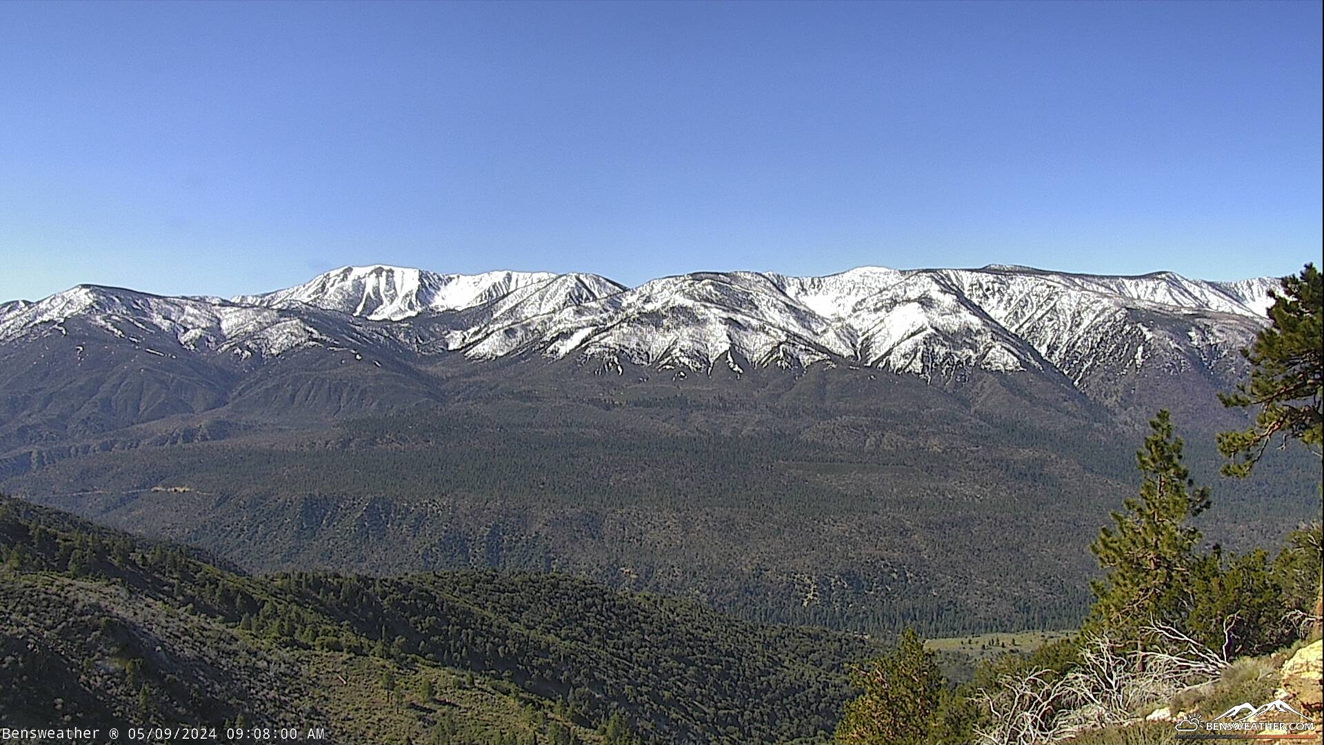
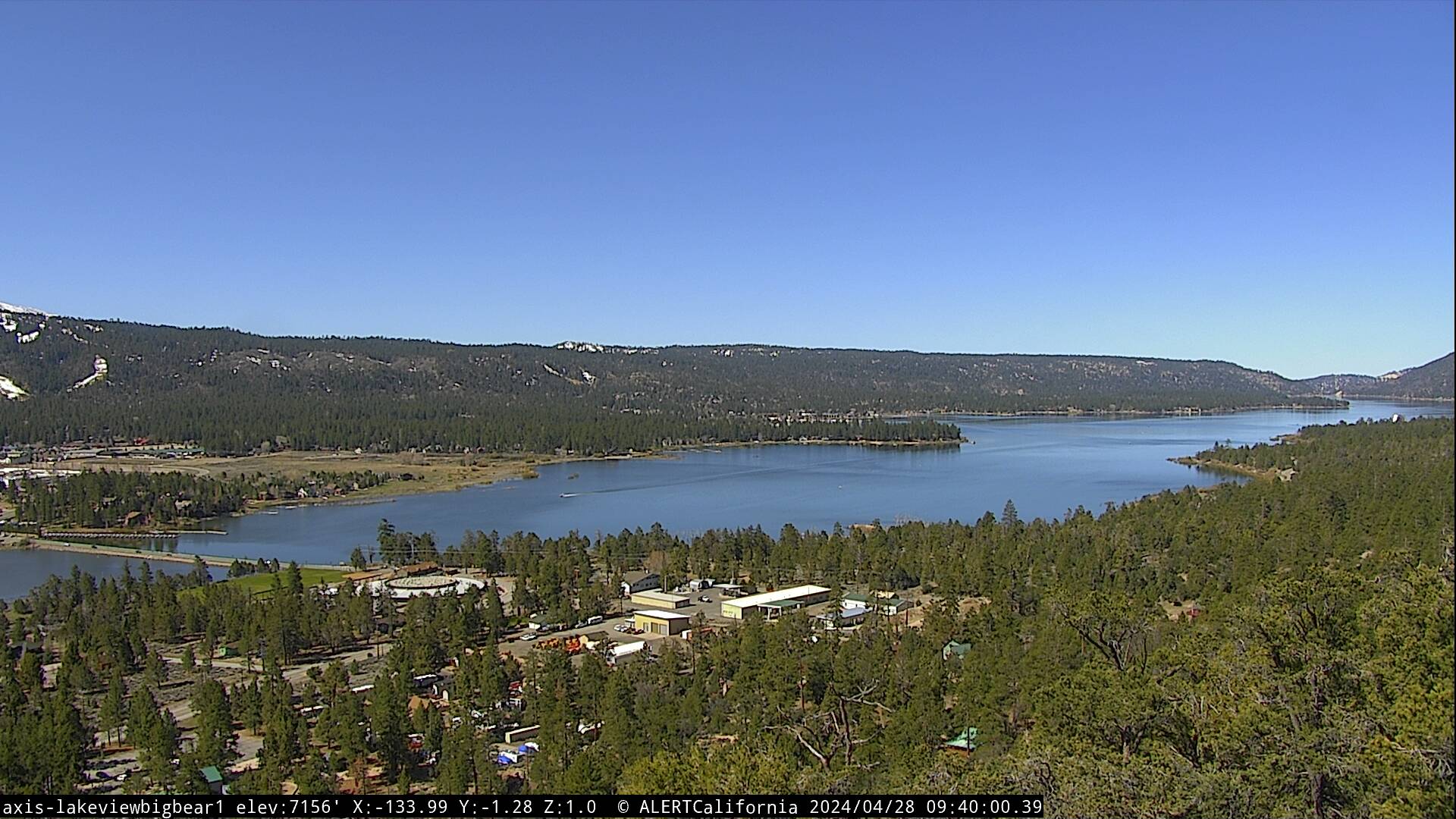
A weak trough will continue its progression through the area today bringing slightly cooler temperatures and gusty west winds to 20 mph at times. Otherwise, expect a nice finish to our week under mostly sunny skies with highs in the mid 60's. Fair and warmer this weekend as high pressure builds in across the region. Daytime highs may top out near 70 degrees by Sunday while overnight lows generally cool to the 30's, southwest winds continuing 5-15 mph during the afternoons. High pressure will flatten out next week as troughing returns to the west coast. This will lead to a stronger onshore flow for a gradual cooling trend with gusty west winds, especially during the afternoons. At this time, conditions look dry through the middle of next week, but forecast models continue to advertise the possibility of precipitation later in the week. While we are now well into spring, do not put away those tire chains just yet!