State Of North Carolina Map Pictures, Images and Stock Photos
Browse 3,600+ state of north carolina map stock photos and images available, or start a new search to explore more stock photos and images.
Most popular
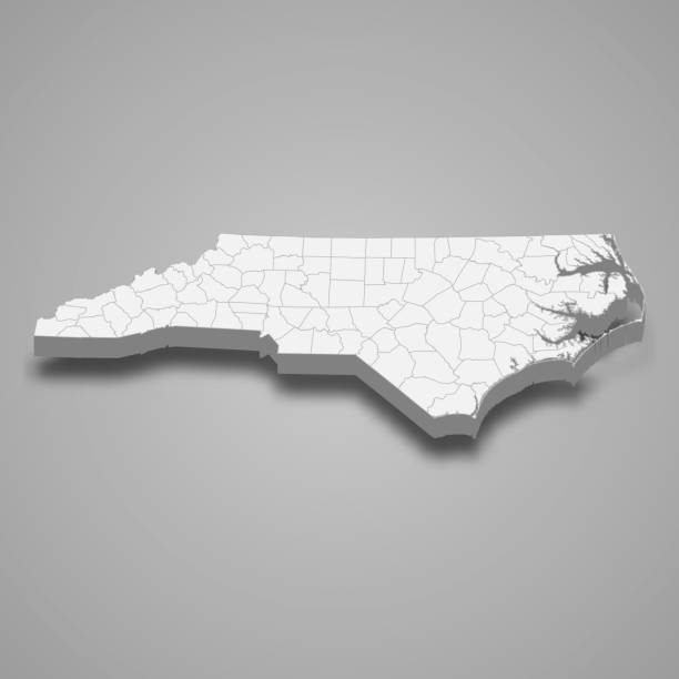
Detailed state-county map of North Carolina.
Vector Illustration of the Silver Map of USA State of North Carolina
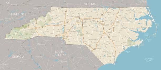
A detailed map of North Carolina state with cities, roads, major rivers, and lakes. Includes neighboring states and surrounding water.
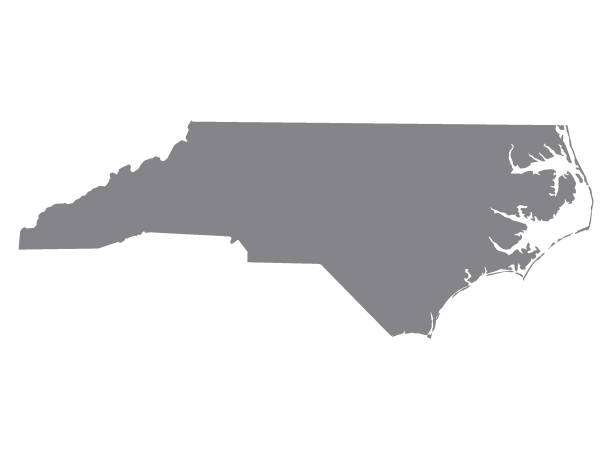
Map of North Carolina State.
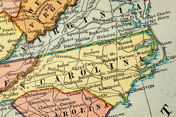
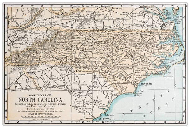
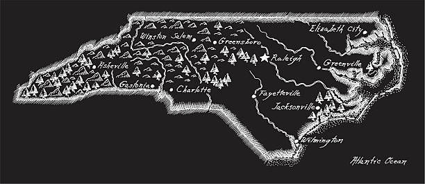
A vintage-style map of North Carolina with freeways, highways and major cities. Shoreline, lakes and rivers are very detailed. Includes an EPS and JPG of the map without roads and cities. Texture, compass, cities, etc. are on separate layers for easy removal or changes.
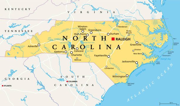
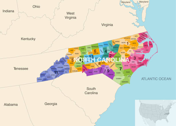
North Carolina, NC, political map. With the capital Raleigh and largest cities. State in the southeastern region of the United States of America. Old North State. Tar Heel State. Illustration. Vector.

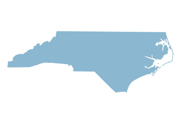
Vector illustration of a blue North Carolina state icon with shadow.
vector illustration of North Carolina map
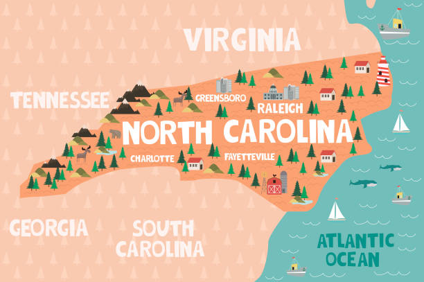
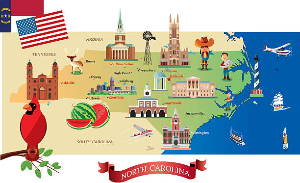
Illustrated map of the state of North Carolina in United States with cities and landmarks. Editable vector illustration
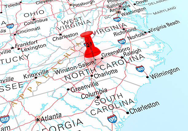
Red Thumbtack Over North Carolina State USA Map. 3D rendering
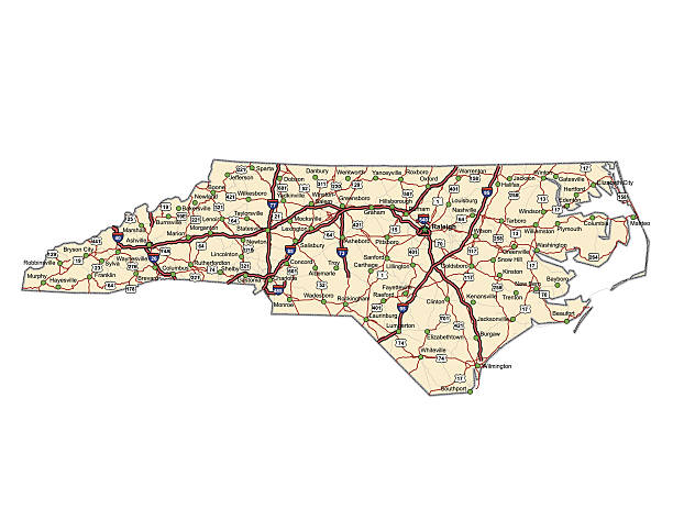
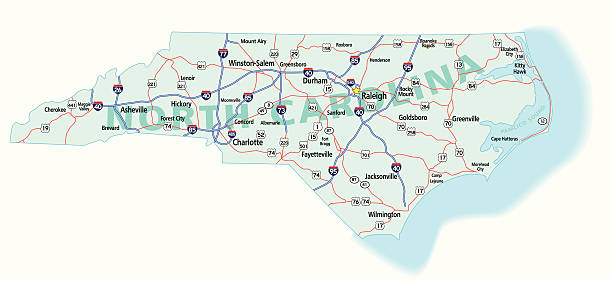
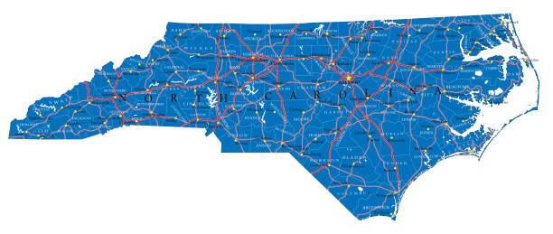
Highway map of the state of North Carolina with Interstates and US Routes. It also has lines for state and county routes (but not labeled/named) and many cities on it as well.
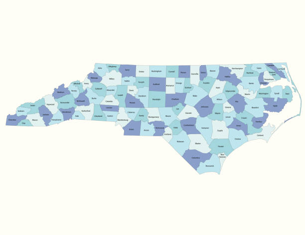
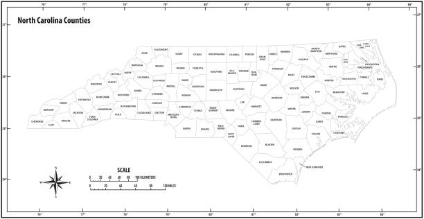
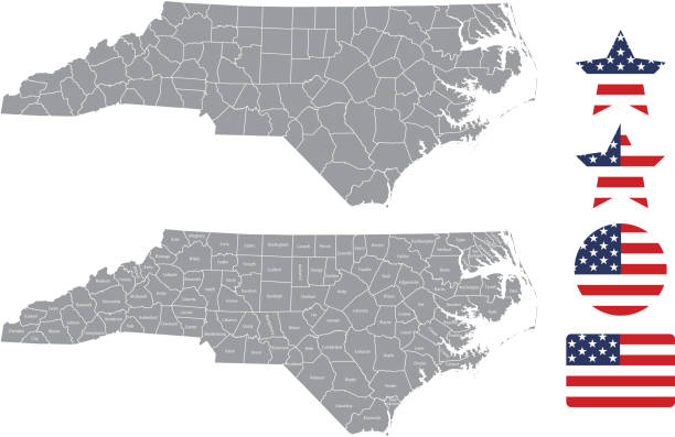
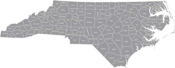
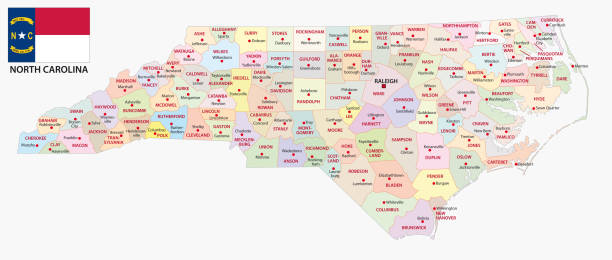
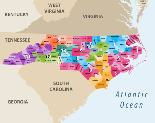
"Highly-detailed North Carolina county map. Each county shape is in a separate labeled layer. All layers have been alphabetized for easy manipulation, recoloring or other use. (see image below -- note: labels only available in AICS2 and AI10 files)"
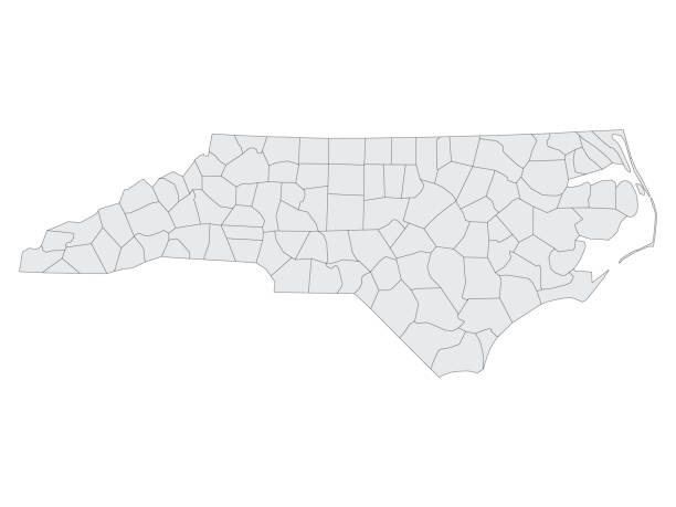
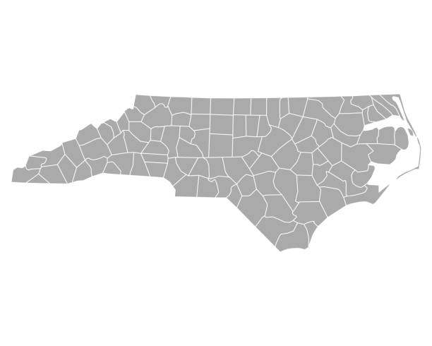
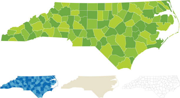
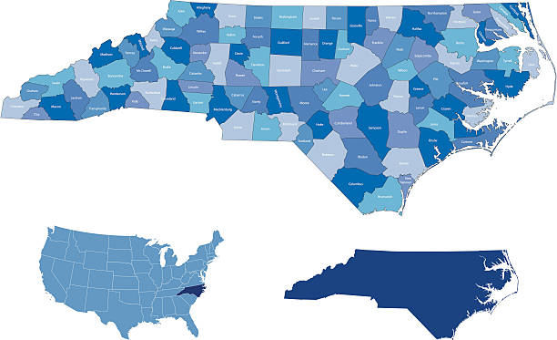
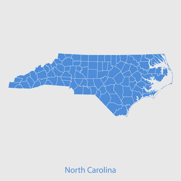
Gray Map on White Background of Counties of USA Federal State of North Carolina
+++ Note to Inspector: URL of source images: http://earthobservatory.nasa.gov/Features/BlueMarble/BlueMarble_monthlies.php +++
The maps are accurately prepared by a GIS and remote sensing expert.
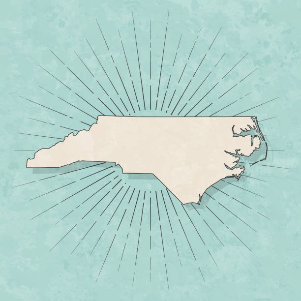
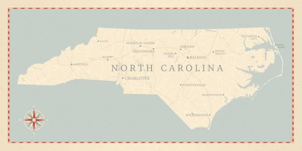
Map of North Carolina in a trendy vintage style. Beautiful retro illustration with old textured paper and light rays in the background (colors used: blue, green, beige and black for the outline). Vector Illustration (EPS10, well layered and grouped). Easy to edit, manipulate, resize or colorize.
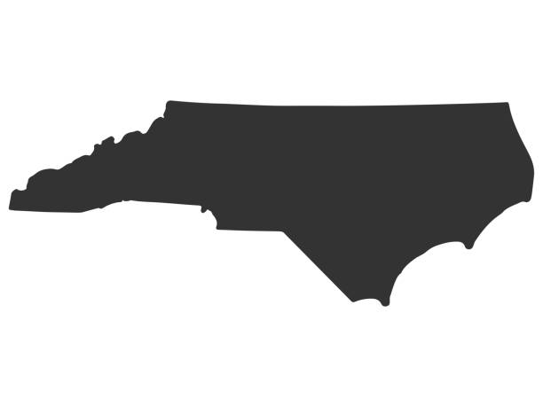
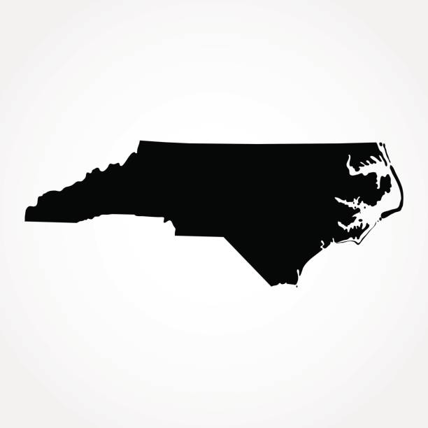
North Carolina Map Silhouette Vector illustration Eps 10
Vector illustration of two blue North Carolina icons.

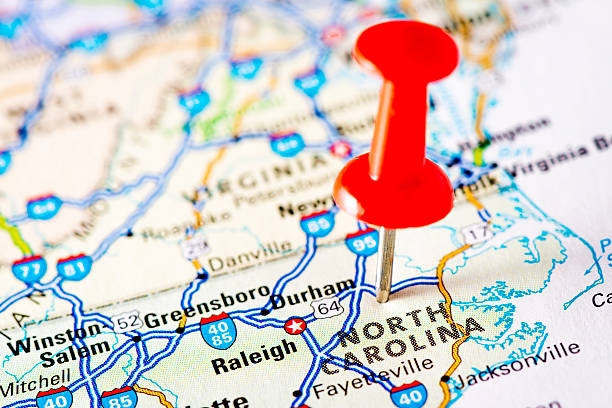
USA Map with red pins featuring the Carolinas, specifically Raleigh Durham. Could be used to showcase store locations or represent many locations.

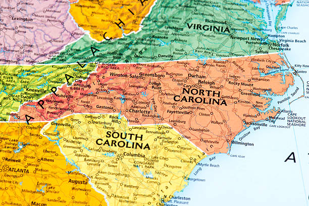
Map of State in USA. Detail from the World Map.
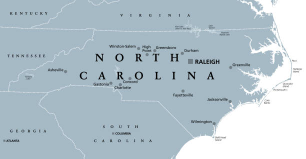
North Carolina, NC, gray political map. With capital Raleigh and largest cities. State in the southeastern region of the United States of America. Old North State. Tar Heel State. Illustration. Vector
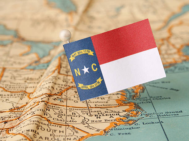
North Carolina flag over more that sixty years old map pointing Raleigh city. Shallow depth of field
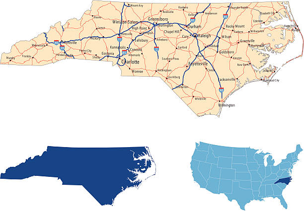
illustration of North Carolina state road map for your design and products.

Detailed map of North Carolina state,in vector format,with county borders,roads and major cities.
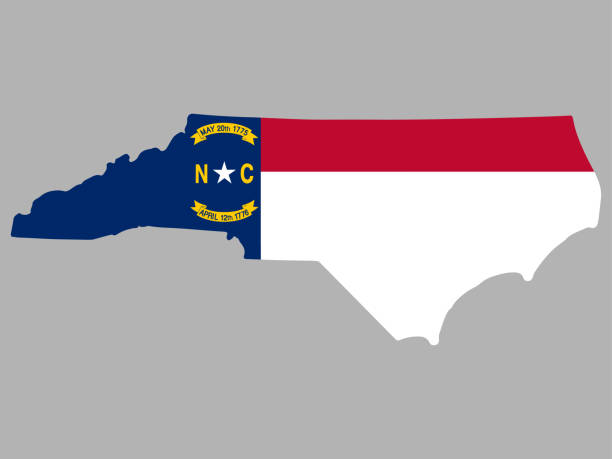
North Carolina Map Flag Vector illustration Eps 10
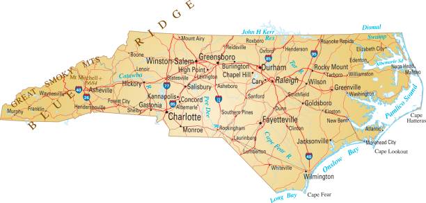
Vector illustration of map of North Carolina with major roads, rivers and lakes.
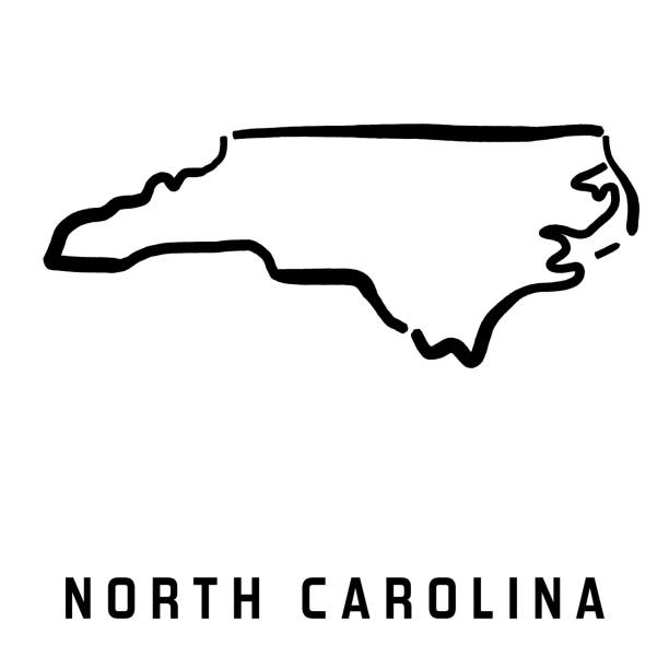
North Carolina simple logo. State map outline - smooth simplified US state shape map vector.
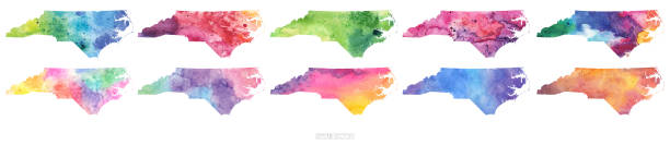
Maps of North Carolina isolated on white background. Easily customizable for your design.
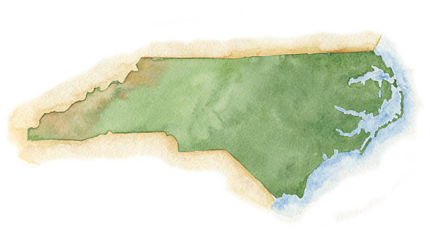
"Map of North Carolina, painted in watercolor on rough paper. I have tried to represent the topography accurately, but keep in mind that this is a hand-painted image, with variations in texture and tone. Sharp, high-res scan. Useful for tourism aa add your own cities and areas of interest. I am the artist and copyright holder of this image."
north carolina administrative and political vector map with flag

Charlotte NC City Vector Road Map Blue Text. All source data is in the public domain. U.S. Census Bureau Census Tiger. Used Layers: areawater, linearwater, roads.
highly detailed map from North Carolina state & counties for your design and products.
3d map of North Carolina is a state of United States
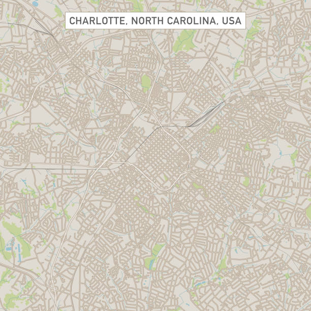
Vector Illustration of a City Street Map of Charlotte, North Carolina, USA. Scale 1:60,000. All source data is in the public domain. U.S. Geological Survey, US Topo Used Layers: USGS The National Map: National Hydrography Dataset (NHD) USGS The National Map: National Transportation Dataset (NTD)

North Carolina US state map red outline border. Vector illustration isolated on white. Two-letter state abbreviation. Editable stroke. Adjust line weight.
Highly detailed map of North Carolina for your design and products.
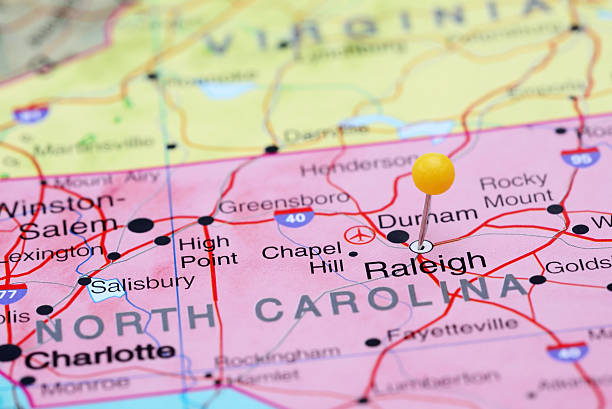
Photo of pinned Raleigh on a map of USA. May be used as illustration for travelling theme.
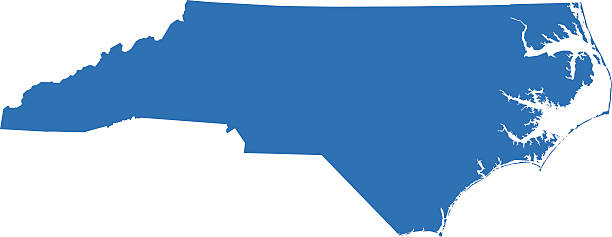
Vector isolated illustration icon with simplified blue map's silhouette of State of North Carolina (USA). Polygonal geometric style. White background.
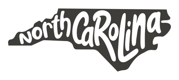
North Carolina. Vector silhouette state. Carolina map with text script. North carolina shape state map for poster, t-shirt, tee, souvenir. Vector outline Isolated illustratuon on a white background.
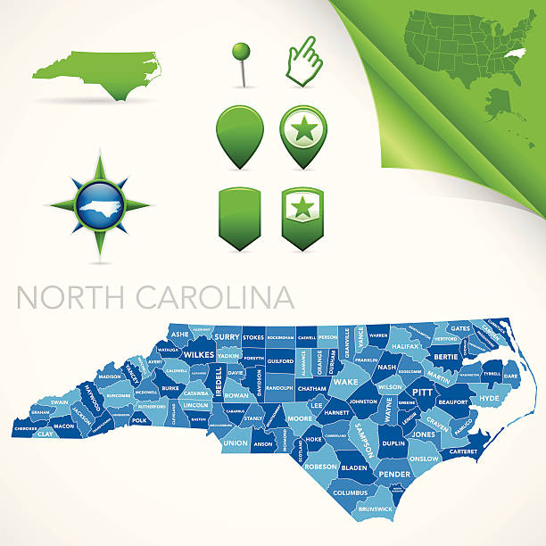
Highly-detailed North Carolina county map. Each county is in it's own separate labeled layer. County names are in a separate layer and can be easily adjusted or removed as well. All layers have been alphabetized for easy manipulation, recoloring or other use.
vector of North Carolina map
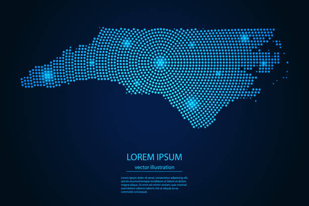
Abstract image North Carolina map from point blue and glowing stars on a dark background. vector illustration.
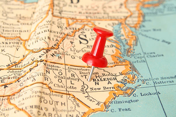
Pushpin pointing Raleigh city, North Carolina state capital, over more than fifty years old map
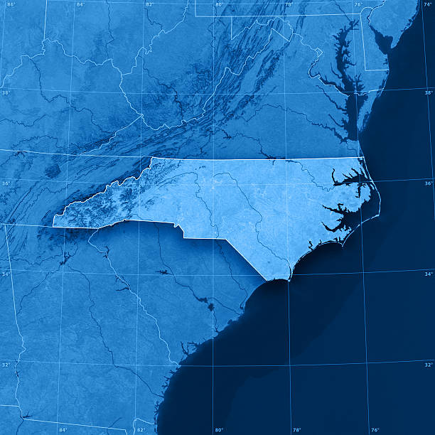
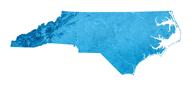
"3D rendering and image composing: Topographic Map of North Carolina. Including state borders, rivers and accurate longitude/latitude lines. High resolution available! High quality relief structure!Relief texture and satellite images courtesy of NASA. Further data source courtesy of CIA World Data Bank II database.Related images:"