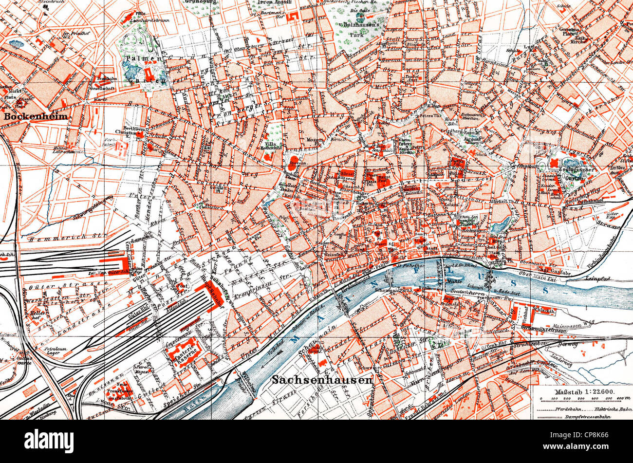
Historical map of Frankfurt am Main, Hesse, Germany, 1890, Historischer Stadtplan von Frankfurt am Main, Hessen, Deutschland, 18
RMID:Image ID:CP8K66
Image details
Contributor:
Historical image collection by Bildagentur-online 2 / Alamy Stock PhotoImage ID:
CP8K66File size:
11.9 MB (2.2 MB Compressed download)Releases:
Model - no | Property - noDo I need a release?Dimensions:
2500 x 1657 px | 21.2 x 14 cm | 8.3 x 5.5 inches | 300dpiMore information:
This image could have imperfections as it’s either historical or reportage.
Historical map of Frankfurt am Main, Hesse, Germany, 1890, Historischer Stadtplan von Frankfurt am Main, Hessen, Deutschland, 1890