Alabama Map Pictures, Images and Stock Photos
Browse 4,600+ alabama map stock photos and images available, or search for state of alabama map or alabama map vector to find more great stock photos and pictures.
Vector. State USA
vector map of the Alabama.
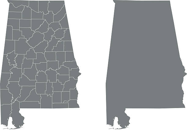
Detailed state-county map of Alabama.

Alabama road vector map
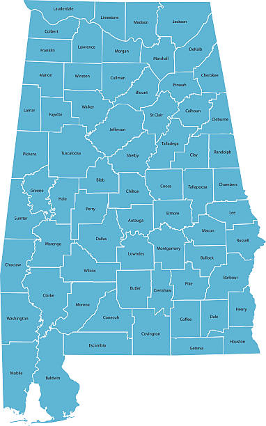
Highly detailed map of Alabama , Each county is an individual object and can be colored separately.
Vector illustration
road map of the US American State of Alabama.
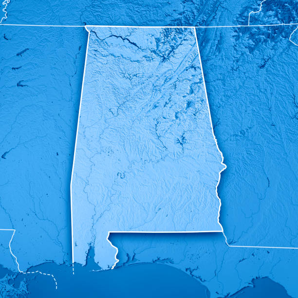
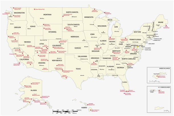
3D Render of a Topographic Map of the State of Alabama, USA. All source data is in the public domain. Boundaries Level 1: USGS, National Map, National Boundary Data. https://viewer.nationalmap.gov/basic/#productSearch Relief texture and Rivers: SRTM data courtesy of USGS. URL of source image: https://e4ftl01.cr.usgs.gov//MODV6_Dal_D/SRTM/SRTMGL1.003/2000.02.11/ Water texture: SRTM Water Body SWDB: https://dds.cr.usgs.gov/srtm/version2_1/SWBD/

Map of Alabama, USA.
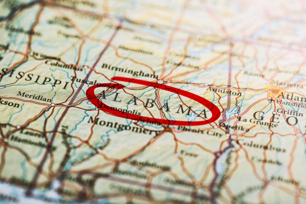
Alabama circled with red marker on map. Close up shot.
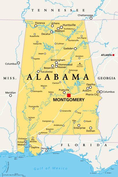
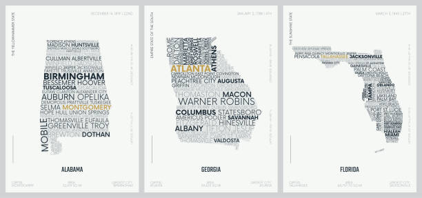
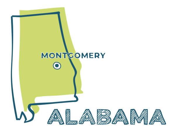
Alabama, AL, political map with the capital Montgomery, cities, rivers and lakes. State in the Southeastern region of the United States, nicknamed Yellowhammer State, Heart of Dixie, and Cotton State.

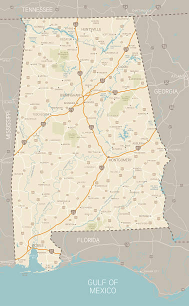
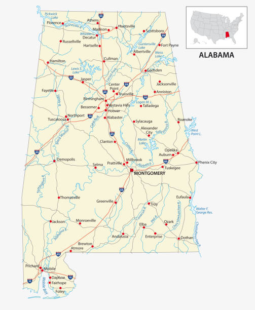
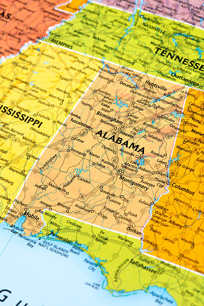
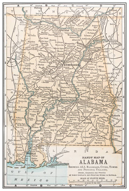
A detailed map of Alabama state with cities, roads, major rivers, and lakes plus National Forests. Includes neighboring states and surrounding water.
Map of Alabama State.

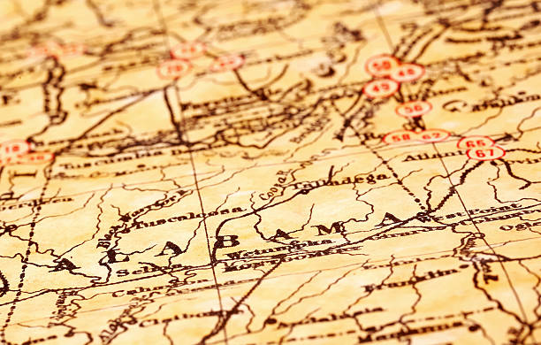
A dictionary map of the Southeast US. The photo was taken out of a one hundred + year old dictionary.
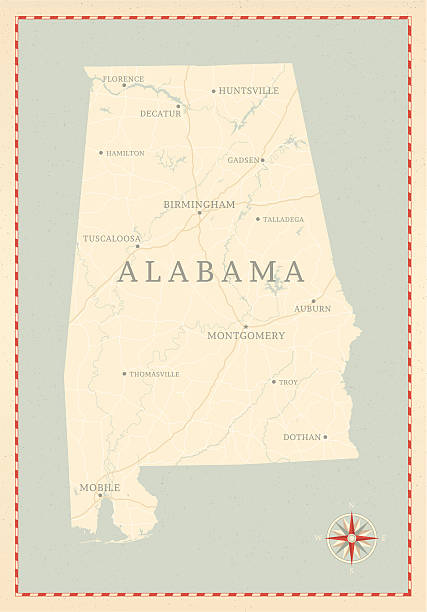
A vintage-style map of Alabama with freeways, highways and major cities. Shoreline, lakes and rivers are very detailed. Includes an EPS and JPG of the map without roads and cities. Texture, compass, cities, etc. are on separate layers for easy removal or changes.
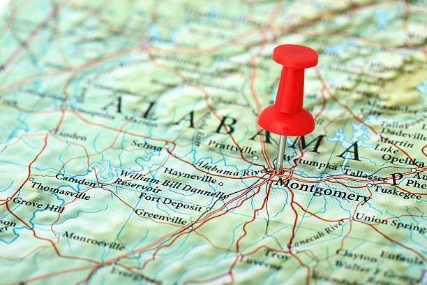
"Montgomery Map. Source: ""Reference Atlas of the World"""
The maps are accurately prepared by a GIS and remote sensing expert.
vector illustration of Alabama map

illustration of highly detailed U.S.A map with all state for your design , products and print.
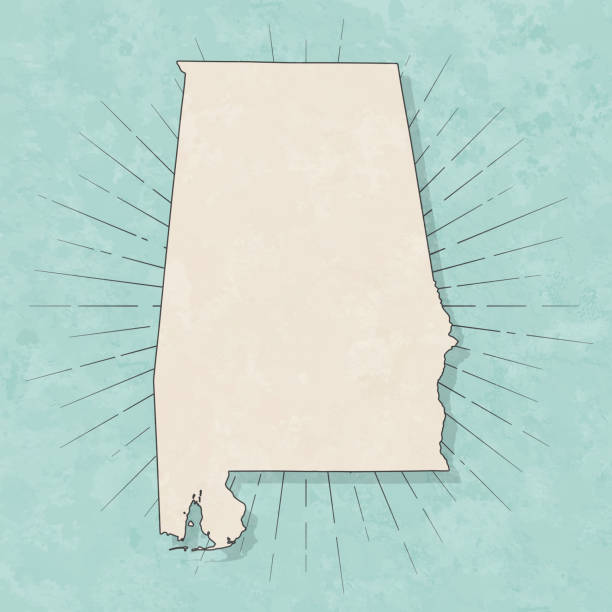
Map of Alabama in a trendy vintage style. Beautiful retro illustration with old textured paper and light rays in the background (colors used: blue, green, beige and black for the outline). Vector Illustration (EPS10, well layered and grouped). Easy to edit, manipulate, resize or colorize.
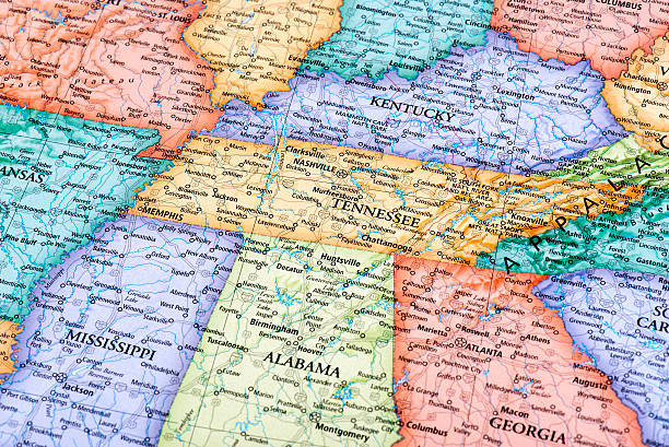
Map of Tennessee and Kentucky States in USA. Detail from the World Map.

"Detailed vector map of Alabama with administrative divisions. File was created on October 24, 2012. The colors in the .eps-file are ready for print (CMYK). Included files: EPS (v8) and Hi-Res JPG (4166aa aaa 5600 px)."


Highway map of the state of Albama with Interstates and US Routes. It also has lines for state and county routes (but not labeled/named) and many cities on it as well (mostly the county seats and State Capitol).

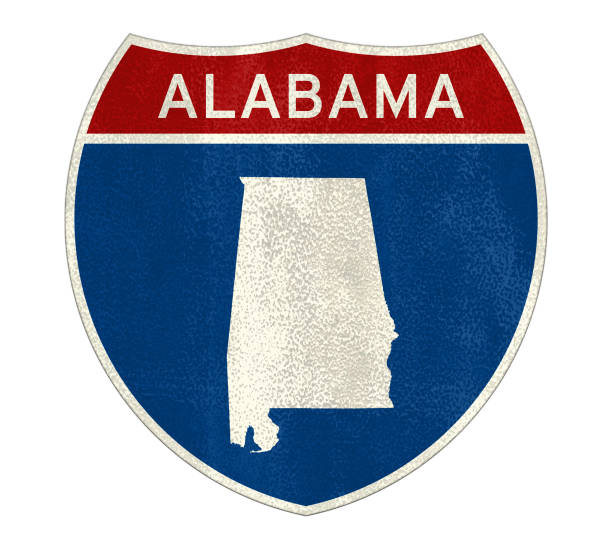
Detailed outline map of Alabama with capital
The Rand-McNally Grammar School Geography 1895 - Chicago & New York
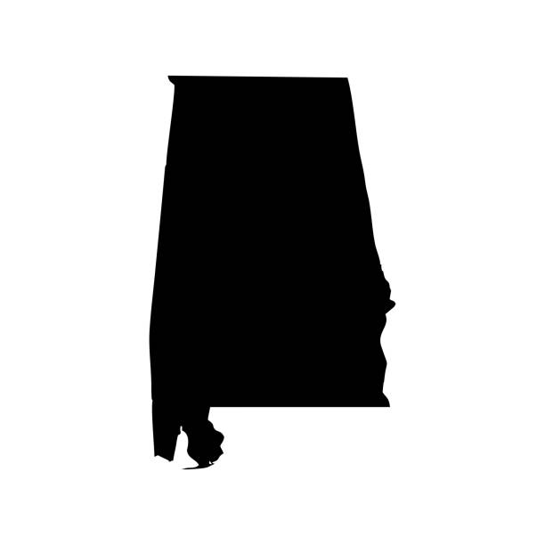
Vector isolated illustration icon with simplified blue map's silhouette of State of Alabama (USA). Polygonal geometric style. White background.
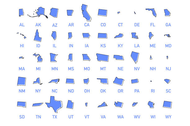
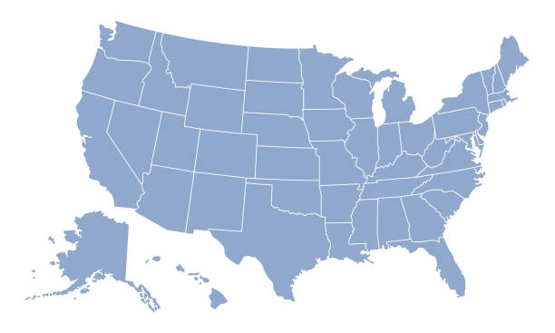
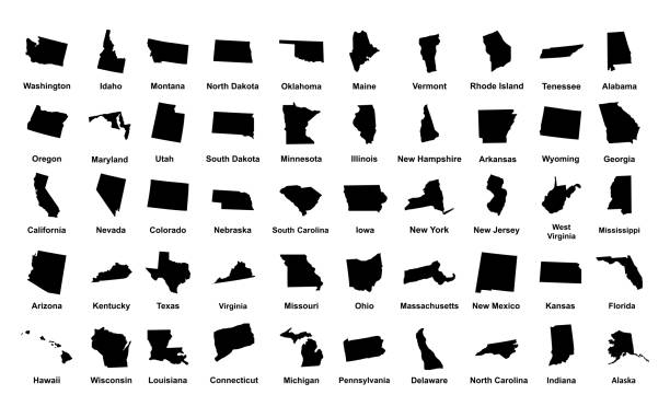
USA states vector illustration. All 50 states of America shapes coloured in lilac isolated on white background.
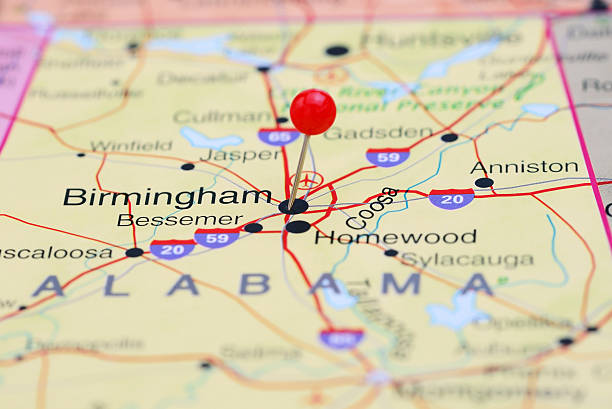
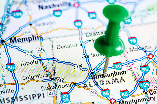
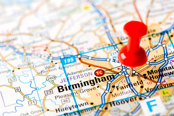
Photo of pinned Birmingham on a map of USA. May be used as illustration for travelling theme.
http://farm8.staticflickr.com/7189/6818724910_54c206caf8.jpg
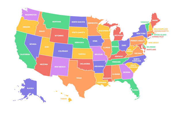
Colorful USA map. United States of America regions with different colors and names for travel and geography vector illustration infographic design. US land territory banner for education
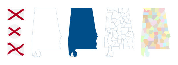
Alabama map. Detailed blue outline and silhouette. Administrative divisions and counties. Flag of Alabama. Set of vector maps. All isolated on white background. Template for design and infographics.
An old map of the state of Alabama scanned from a XIX century original (copyright - free) CLICK ON THE LINKS BELOW FOR HUNDREDS OF SIMILAR IMAGES:
http://farm8.staticflickr.com/7189/6818724910_54c206caf8.jpg
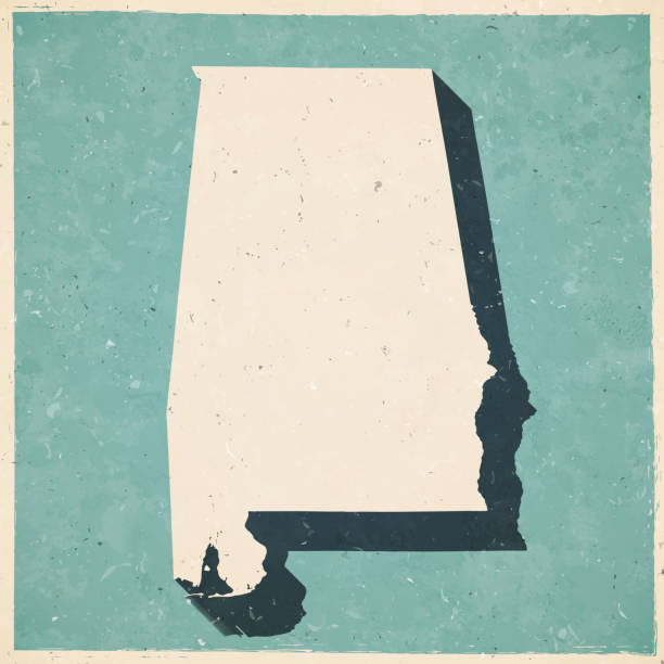
Map of Alabama in a trendy vintage style. Beautiful retro illustration with old textured paper and a black long shadow (colors used: blue, green, beige and black). Vector Illustration (EPS10, well layered and grouped). Easy to edit, manipulate, resize or colorize.
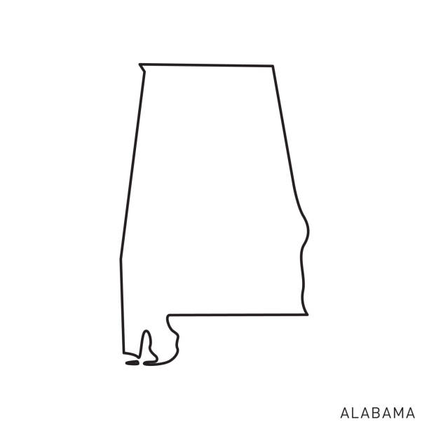
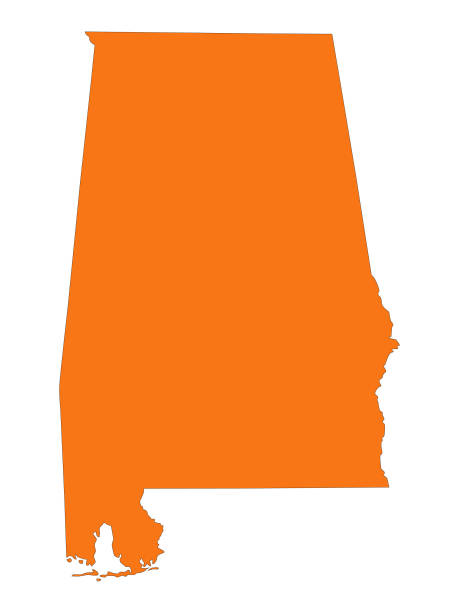
Alabama - States of USA Outline Map Vector Template Illustration Design. Editable Stroke. Vector EPS 10.
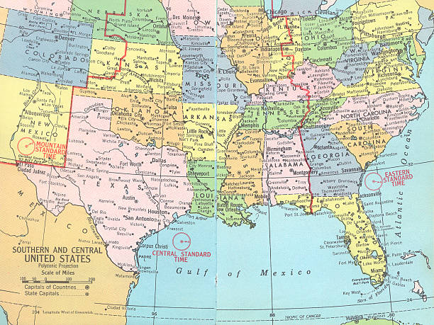
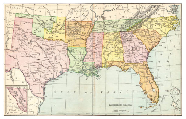
Southern and central United States map with gulf of mexico and atlantic ocean.
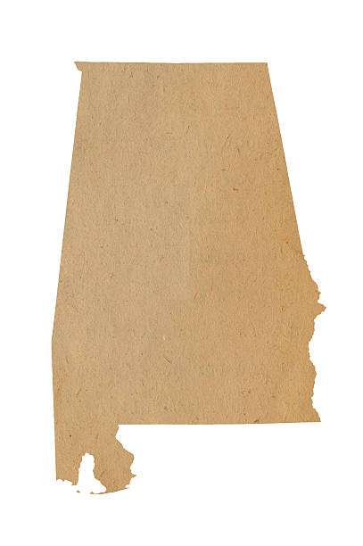
Vintage Map of Alabama

Vector illustration of alabama
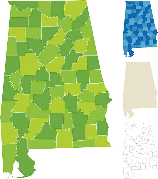
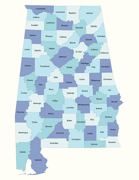
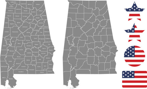
"Highly-detailed Alabama county map. Each county is in a separate labeled layer. All layers have been alphabetized for easy manipulation, recoloring or other use. (note: labels only available in AICS2 and AI10 files)"
![US capital cities on map series: Tuscaloosa, MS [url=/file_search.php?action=file&lightboxID=11838152#e650b4d][img]http://farm8.staticflickr.com/7189/6818724910_54c206caf8.jpg[/img][/url] alabama map stock pictures, royalty-free photos & images](https://media.istockphoto.com/id/181852377/photo/us-capital-cities-on-map-series-tuscaloosa-ms.jpg?s=612x612&w=0&k=20&c=gMWLd8C8PMN0m1WSU1HDDwJpLouEp306lGbuZlSdu_g=)
[url=/file_search.php?action=file&lightboxID=11838152#e650b4d][img]http://farm8.staticflickr.com/7189/6818724910_54c206caf8.jpg[/img][/url]

Illustrated map of the state of Alabama in United States with cities and landmarks. Editable vector illustration
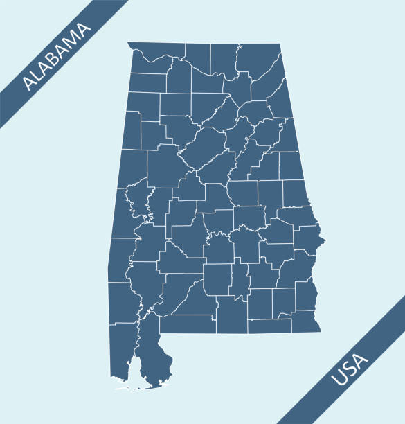
Highly detailed county map of Alabama state of United States of America for web banner, mobile app, and educational use. The map is accurately prepared by a map expert.

Alabama people map. Detailed vector silhouette. Mixed crowd of men and women icons. Population infographic elements. Vector illustration isolated on white.
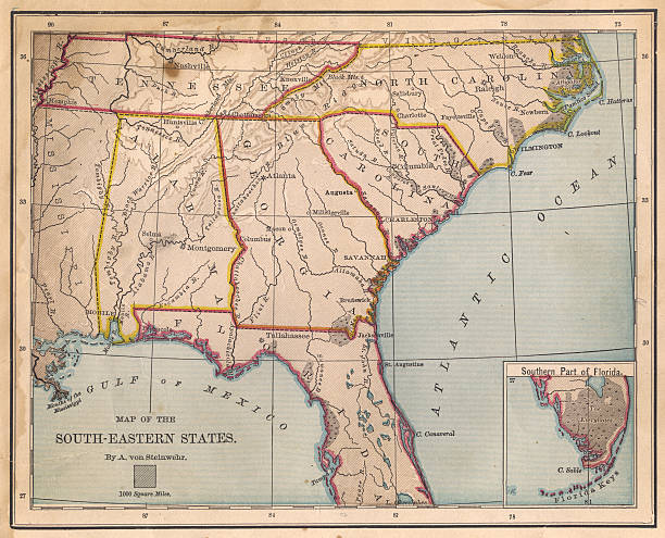
Color image of an old map of the South Eastern (United) States, from the 1800's.
Doodle vector map of Alabama state of USA. With legends of state and capital
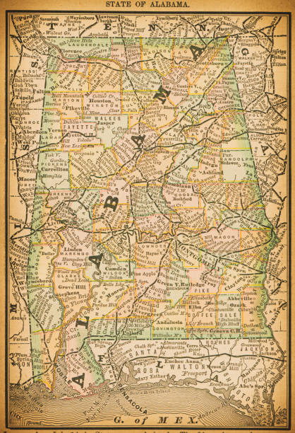
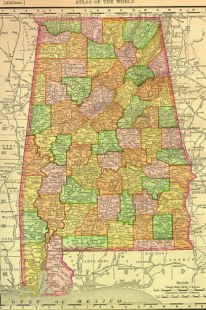
19th century map of State of Alabama. Published in New Dollar Atlas of the United States and Dominion of Canada. (Rand McNally & Co's, Chicago, 1884).
vector of the Alabama map