Map Of Europe Pictures, Images and Stock Photos
Browse 655,300+ map of europe stock photos and images available, or search for europe or world map to find more great stock photos and pictures.
europe
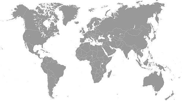
world map
europe map vector
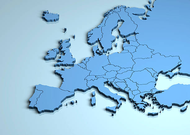
europe map 3d
old map of europe
map of europe vector
map of europe and asia
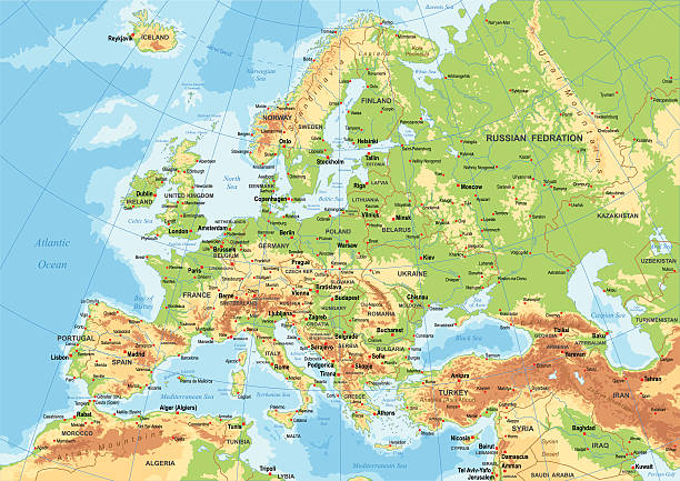
physical map of europe
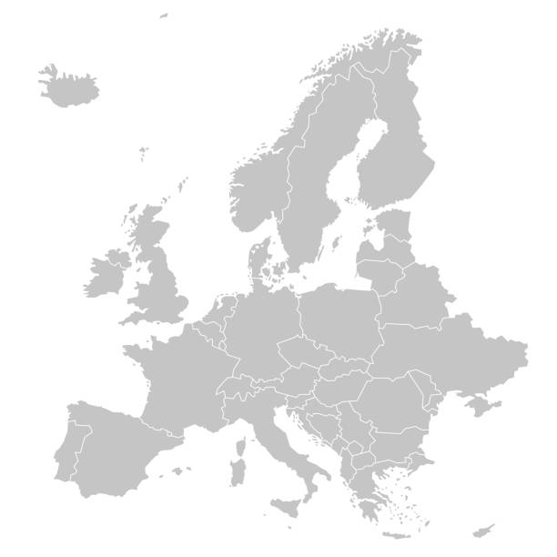
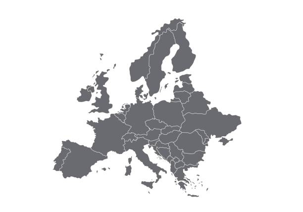
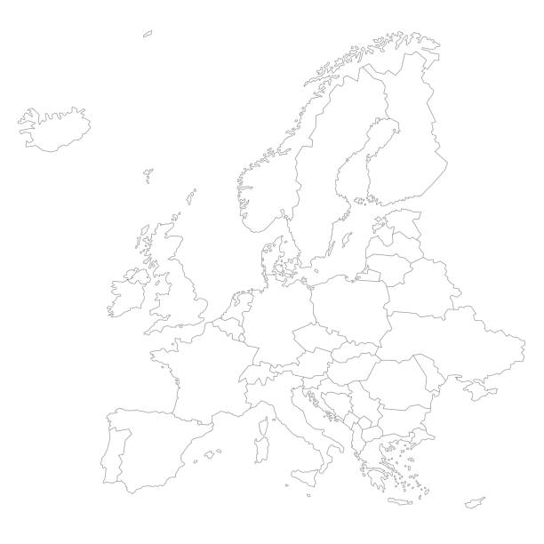
blank map of europe
simple map of europe
map of europe and africa
map of europe and russia
map of europe countries
ww2 map of europe
topographic map of europe
map of europe and us
3d map of europe
map of europe with borders
map of europe 1940s
map of europe czech republic
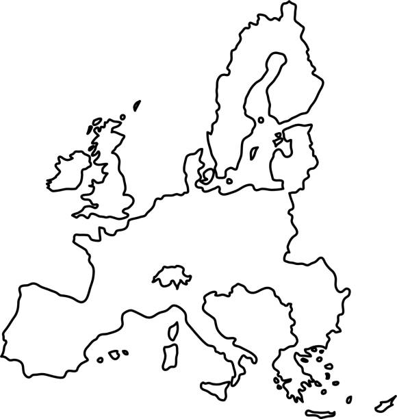
map of europe stroke
map of europe 2020
graphic map of europe
map of europe white background
map of europe 3d
map of europe 1914
globe map of europe
map of europe green
map of europe country names
digital map of europe
Most popular
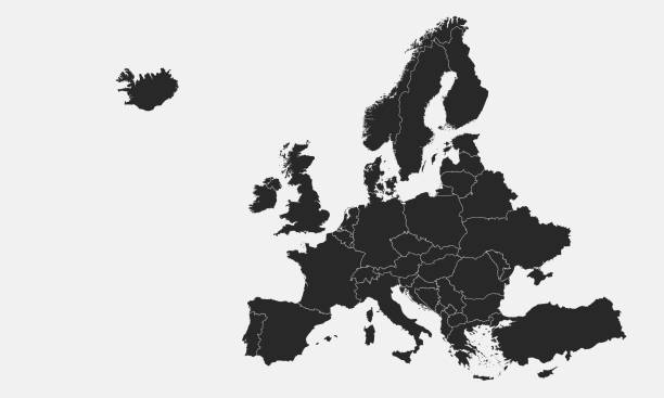
High quality map Europe with borders of regions. Stock vector
Vector illustration
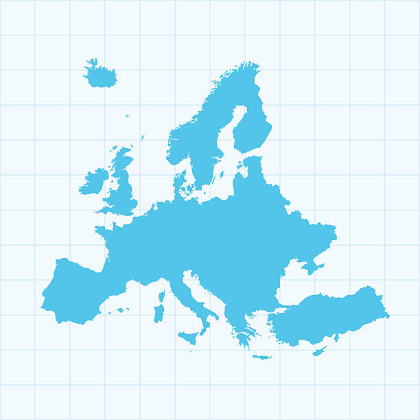
A graphic illustrated vector image showing the outline of the Europe. The outline of the country is filled with a dark navy blue colour and is on a plain white background. The border of the country is a detailed path.
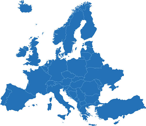
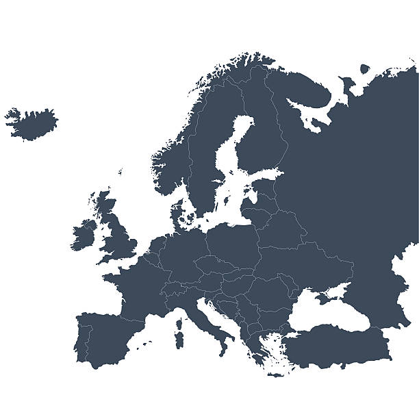
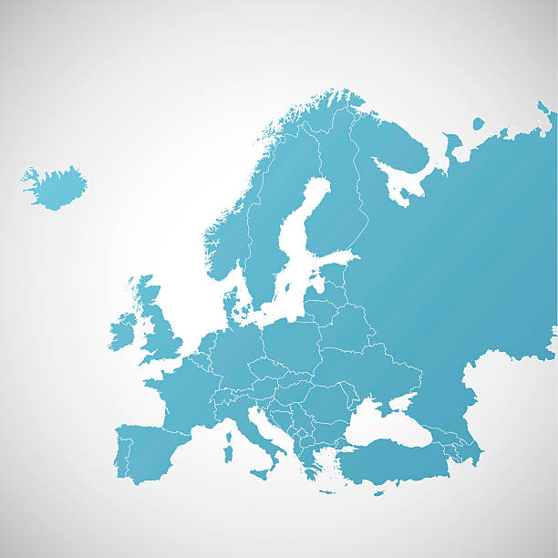
A blue Europe map. Hires JPEG (5000 x 5000 pixels) and EPS10 file included.
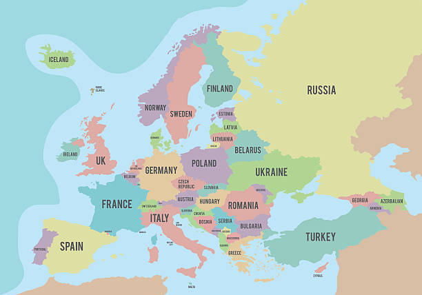
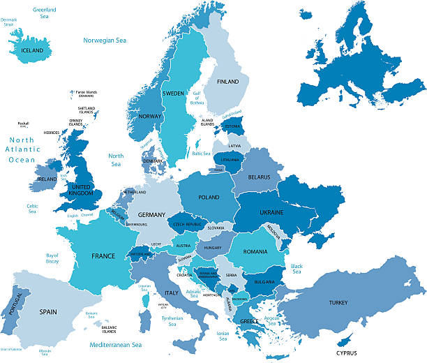
Political map of Europe with different colors for each country and names in English. Vector illustration.

Highly detailed map of Europe for your design and product.
Vector illustration
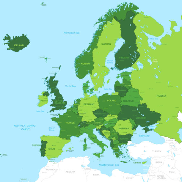
High Detail Green Vector Map centered on Europe.

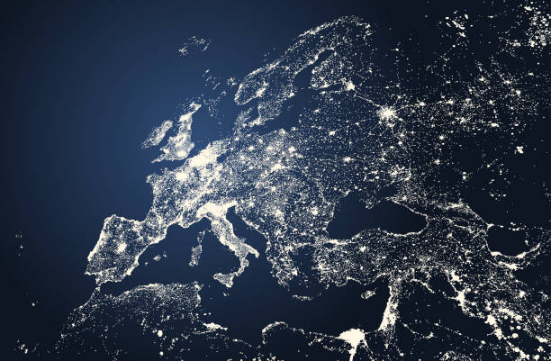
Europe from space at night with city lights showing European cities in Germany, France, Spain, Italy and United Kingdom (UK), global overview, 3d rendering of planet Earth, elements from NASA. Some elements from NASA (https://eoimages.gsfc.nasa.gov/images/imagerecords/57000/57752/land_shallow_topo_2048.jpg)
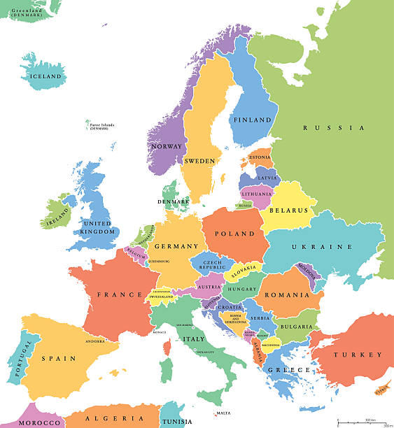
Europe single states political map. All countries in different colors, with national borders and country names. English labeling and scaling. Illustration on white background.

vector of the Europe map
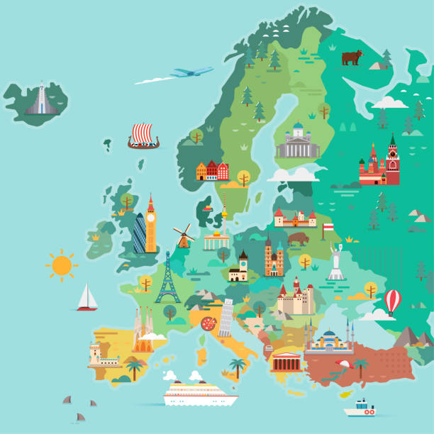
Map of Europe. Tourist map. Flat style illustration
vector of the Europe map


Highly detailed colored vector illustration of Europe map -.borders, countries and cities - illustration.
vector of the Europe map

Blue Globe viewing from space at night with connections between cities. (World Map Courtesy of NASA: https://visibleearth.nasa.gov/view.php?id=55167)
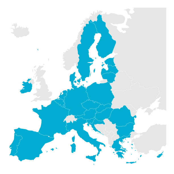
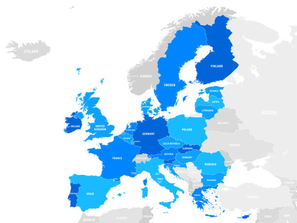
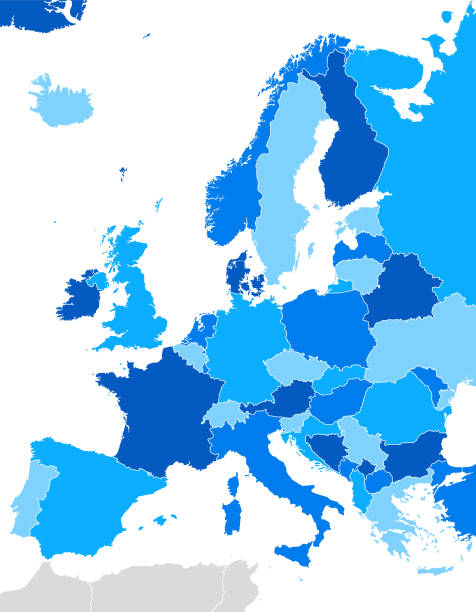
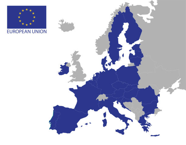
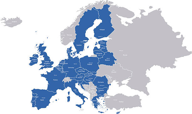
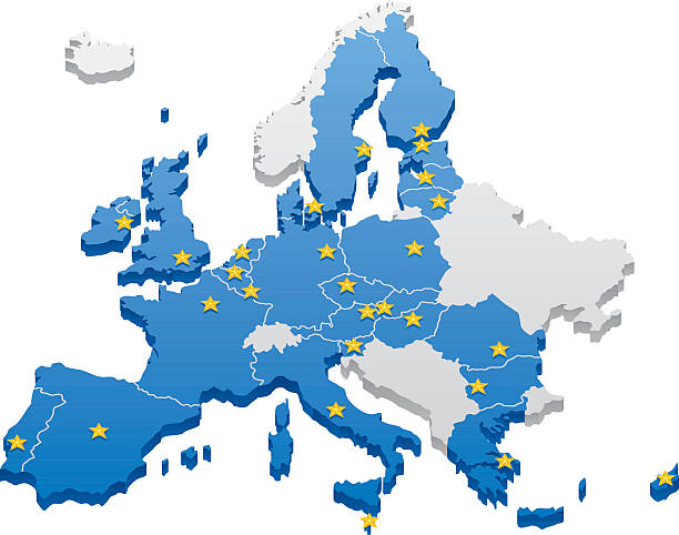
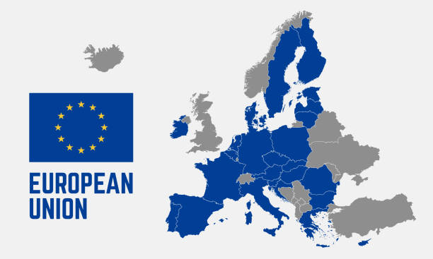
Political map of Europe with blue highlighted 27 European Union, EU, member states after brexit in 2020. Simple flat vector illustration.

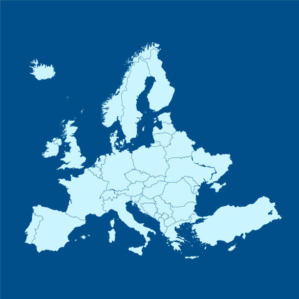
White map of Europe isolated on a gray background with a long shadow effect and in a flat design style. Vector Illustration (EPS10, well layered and grouped). Easy to edit, manipulate, resize or colorize.
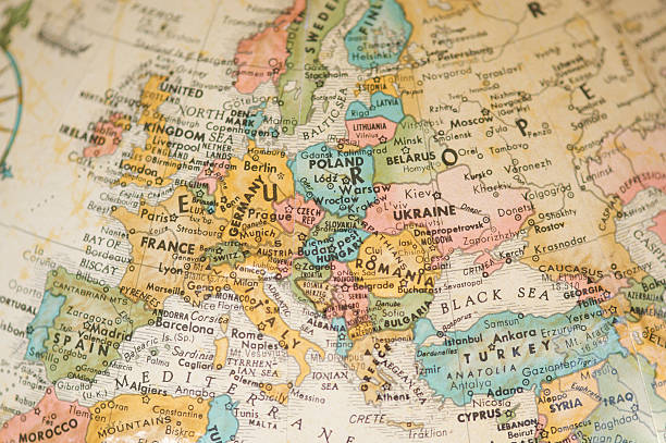
Selective focus view of vintage antique map of Europe on a faded sepia antique globe
Vector map of Europe, including Russia, with clear country borders
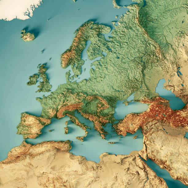
3D Render of a Topographic Map of Europe, including the region to the Ural mountains in the east and the northern part of Africa in the south. All source data is in the public domain. Color texture: Made with Natural Earth. http://www.naturalearthdata.com/downloads/10m-raster-data/10m-cross-blend-hypso/ Relief texture: GMTED2010 data courtesy of USGS. URL of source image: https://topotools.cr.usgs.gov/gmted_viewer/viewer.htm Water texture: HIU World Water Body Limits: http://geonode.state.gov/layers/?limit=100&offset=0&title__icontains=World%20Water%20Body%20Limits%20Detailed%202017Mar30

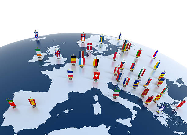
european countries 3d illustration - european continent marked with flags
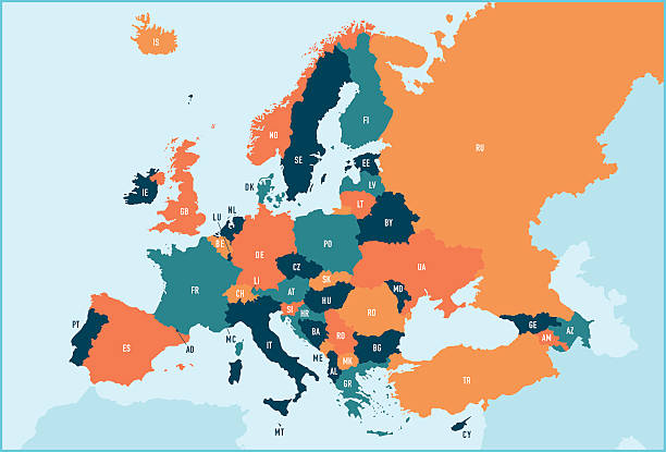
Colorful stylized vector map of Europe with labeled countries and territory name abbreviations. All countries and territories can be individually selected.

Starfield and Earth from: shadedrelief.com
countries vector map.
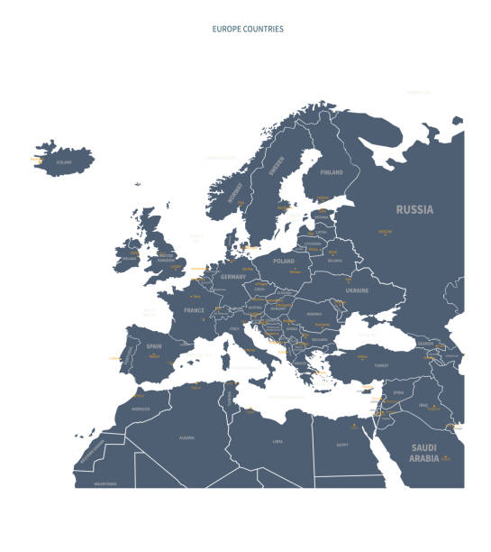
Map of Europe. Detail from the World Atlas.

Map of Europe with a realistic paper cut effect isolated on white background. Vector Illustration (EPS10, well layered and grouped). Easy to edit, manipulate, resize or colorize. Please do not hesitate to contact me if you have any questions, or need to customise the illustration. http://www.istockphoto.com/bgblue/
Very simplified infographical political map of Europe in green color scheme. Simple geometric vector illustration.
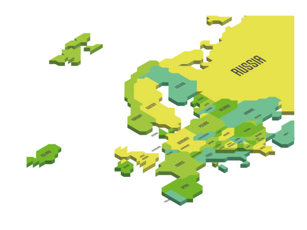
Isometric political map of Europe. Colorful land with country name labels on white background. 3D vector illustration
A Europe map. Hires JPEG (5000 x 5000 pixels) and EPS10 file included.
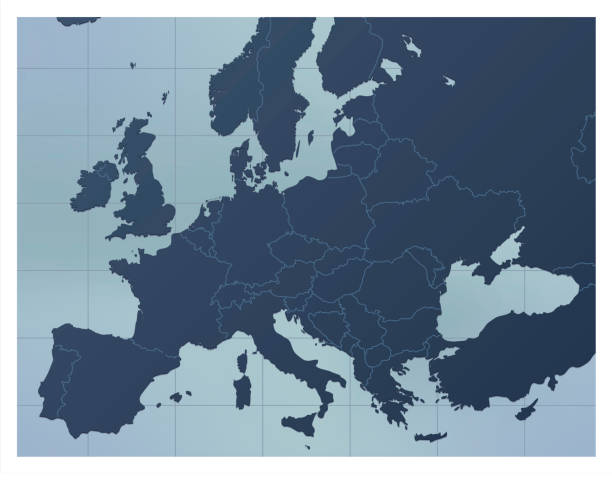
A dark blue Europe map. Good for your geographical presentations, websites and for printing.
A map with European Union countries and their capitals.
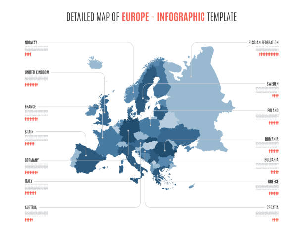
Detailed map of Europe. Vector template for infographics. Editable stroke.
Map of the European Union. Capitals and borders can be easily removed in the vector file.

Futuristic Europe outline connectivity map with lines, stars, triangles, light particles framework. Communication, connection concept. Modern low polygonal wire frame mesh design vector illustration.
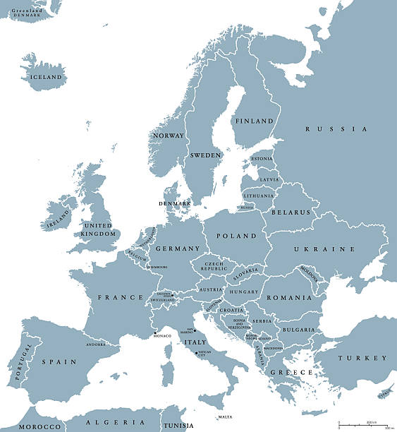
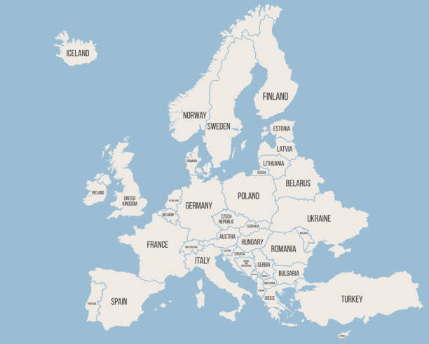
Europe countries political map with national borders and country names. English labeling and scaling. Illustration on white background.
Vector illustration

Map of Europe - Highly Detailed Vector illustration
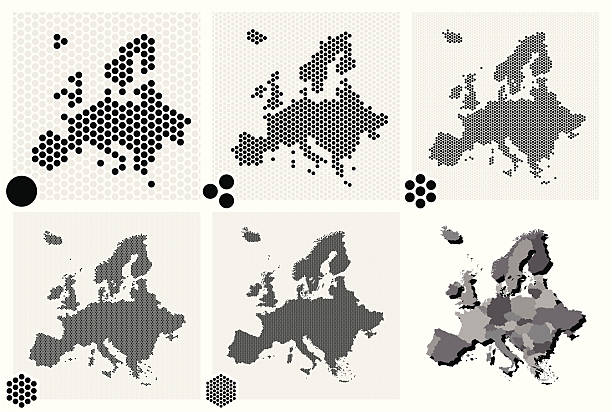
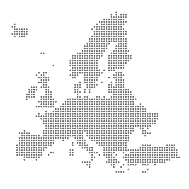
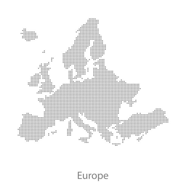
Set of 5 dotted maps of Europe in 5 different resolutions: from very low to ultra high, and two outline maps: with and without division by countries.
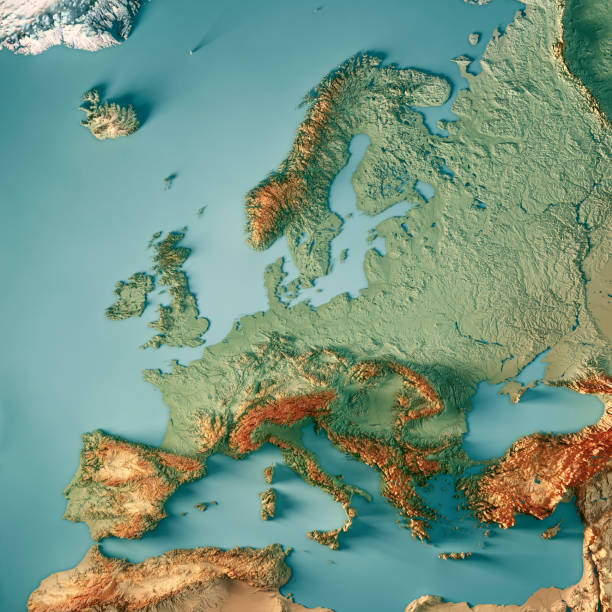
3D Render of a Topographic Map of Europe. All source data is in the public domain. Color texture: Made with Natural Earth. http://www.naturalearthdata.com/downloads/10m-raster-data/10m-cross-blend-hypso/ Boundaries Level 0: Humanitarian Information Unit HIU, U.S. Department of State (database: LSIB) http://geonode.state.gov/layers/geonode%3ALSIB7a_Gen Relief texture and Rivers: SRTM data courtesy of USGS. URL of source image: https://e4ftl01.cr.usgs.gov//MODV6_Dal_D/SRTM/SRTMGL1.003/2000.02.11/ Water texture: SRTM Water Body SWDB: https://dds.cr.usgs.gov/srtm/version2_1/SWBD/

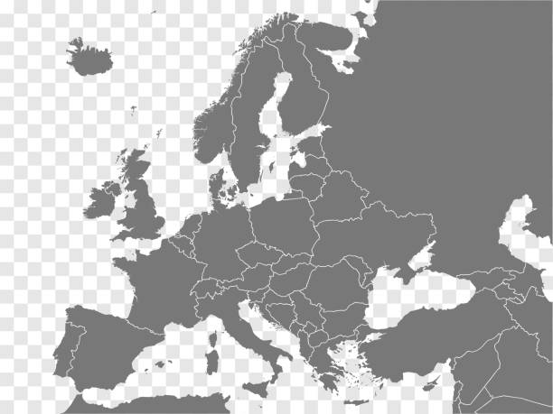
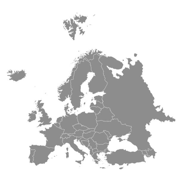
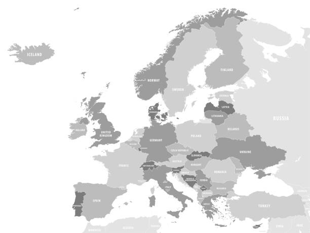
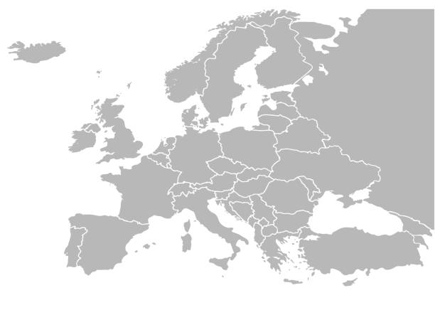
Europe, gray political map. Continent and part of Eurasia, located in the Northern Hemisphere, with about 50 sovereign states. Map with borders and English country names. Gray illustration over white.