


Últimos sismos y temblores en la vecindad de Región de Atacama, Chile, en las últimas 24 horas Miércoles, 27 de septiembre 2023 - lista, mapa, estadísticas
Actualizado: 27 sep. 2023 20:19 GMT -
¿Sintió un temblor? ¡Reportalo!
¡Temblores cerca de mí!
Ver la lista
Sismos en las últimas 24 horas:
- 1 sismo de magnitud 4 o superior
- 3 sismos de magnitud entre 3 y 4
- 3 sismos de magnitud entre 2 y 3
En las últimas 24 horas, Región de Atacama tuvo 1 sismo de magnitud 4.3, 3 sismos de magnitud 3+ y 3 sismos de magnitud 2+.
Un terremoto leve magnitud 4.3 ocurrió en Océano Pacífico Sur, Chile, hace 22 horas.Último sismo: Mag. 3.0 | 56 km S de Copiapó, Región de Atacama, Chile -
Sismo más fuerte hoy: Mag. 4.3 | Océano Pacífico Sur, 126 km O de Copiapó, Región de Atacama, Chile -
- Últimos 7 días: Mag. 4.7 el martes, 26 sep 2023 16:56 (GMT -3) – Océano Pacífico Sur, 87 km O de Copiapó, Región de Atacama, Chile
- Últimos 90 días: Mag. 5.7 el viernes, 15 sep 2023 13:07 (GMT -5) – Océano Pacífico Sur, 123 km O de Copiapó, Región de Atacama, Chile
- Últimos 365 días: Mag. 5.9 el martes, 4 abr 2023 15:08 (GMT -4) – Océano Pacífico Sur, 69 km O de Copiapó, Región de Atacama, Chile
Terremotos recientes por encima de la magnitud 2.0 en la vecindad de Región de Atacama, Chile (actualizado )
| Últimas 24 horas | 7 sismos 3 sismos M2+ 3 sismos M3+ 1 sismo M4+ |
| Últimos 7 días | 37 sismos 21 sismos M2+ 11 sismos M3+ 5 sismos M4+ |
| Últimos 30 días | 198 sismos 104 sismos M2+ 72 sismos M3+ 18 sismos M4+ 4 sismos M5+ |
| Últimos 90 días | 408 sismos 231 sismos M2+ 146 sismos M3+ 26 sismos M4+ 5 sismos M5+ |
| Últimos 365 días | 1,094 sismos 536 sismos M2+ 463 sismos M3+ 84 sismos M4+ 11 sismos M5+ |
Sismos en regiones cercanas
Isla Choros | Isla Gaviota | Provincia de Catamarca, Argentina | Provincia de La Rioja, Argentina | Provincia de Salta, Argentina | Provincia de San Juan, Argentina | Región de Antofagasta | Región de Coquimbo | Región de Valparaíso | República Argentina | República de Chile | United States of Brazil
Sismos en la vecindad de Región de Atacama, Chile | EL el Mundo
...Lee masMostrar mapa interactivo
[Reducir] [Agrandar]
Estadísticas sismicas | Archivo | Seismograms | 48 hrs | 7 días | 14 días | 30 días | Ayer | Mes pasado | Año pasado | Desde 1900 | Sismos en Chile
¡Muestra sismos!
Mostrando sismos magnitud 0.1 o superior (7 sismos):
Fecha y hora | Mag Prof. | Volcán mas cercano (distance) | Ubicación | Detalles | Mapa |
| miércoles, 27 septiembre 2023 GMT (4 sismos) | |||||
| 27 sep 2023 12:23 (GMT -3) (27 sep 2023 15:23 GMT) | 3.0 101 km | 56 km al sur de Copiapó, Región de Atacama, Chile Lo he sentido | Más | ||
| 27 sep 2023 00:16 (GMT -3) (27 sep 2023 03:16 GMT) | 3.2 10 km | 64 km al sureste de Diego de Almagro, Chañaral, Región de Atacama, Chile Lo he sentido | Más | ||
| 26 sep 2023 21:59 (GMT -5) (27 sep 2023 02:59 GMT) | 2.8 45 km | Océano Pacífico Sur, 91 km al oeste de Copiapó, Región de Atacama, Chile | Más | ||
| 26 sep 2023 23:51 (GMT -3) (27 sep 2023 02:51 GMT) | 3.6 103 km | 62 km al sureste de Copiapó, Región de Atacama, Chile Lo he sentido | Más | ||
| martes, 26 septiembre 2023 GMT (3 sismos) | |||||
| 26 sep 2023 19:55 (GMT -3) (26 sep 2023 22:55 GMT) | 2.9 115 km | 260 km al norte de Ciudad de San Juan, Departamento de Capital, Provincia de San Juan, Argentina | Más | ||
| 26 sep 2023 17:17 (GMT -5) (26 sep 2023 22:17 GMT) | 4.3 39 km | Océano Pacífico Sur, 126 km al oeste de Copiapó, Región de Atacama, Chile Lo he sentido | Más | ||
| 26 sep 2023 16:54 (GMT -5) (26 sep 2023 21:54 GMT) | 2.5 25 km | Océano Pacífico Sur, Chile | Más | ||
Energia sismica combinada estimada: 2 x 10¹¹ joules (56.2 MWh, equivalente a 48.4 toneladas de TNT) | about seismic energy
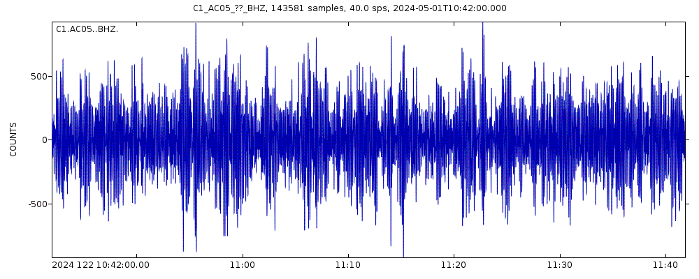
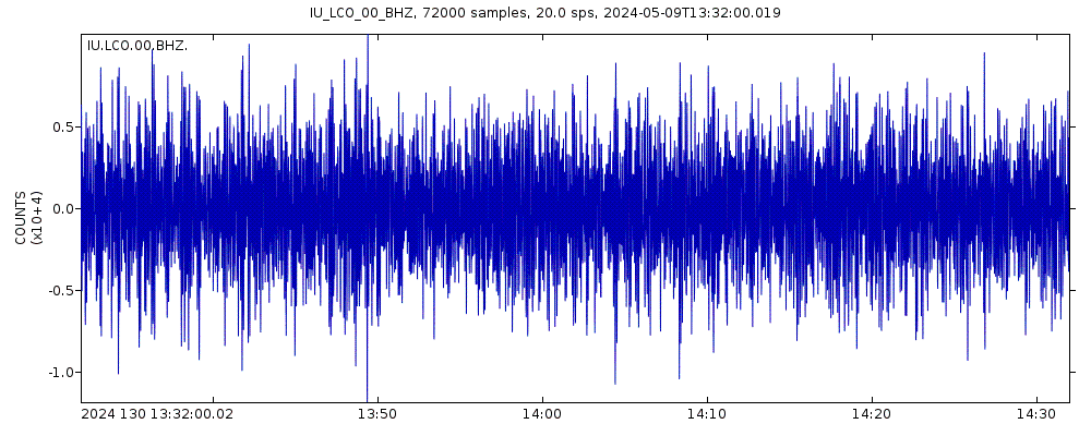
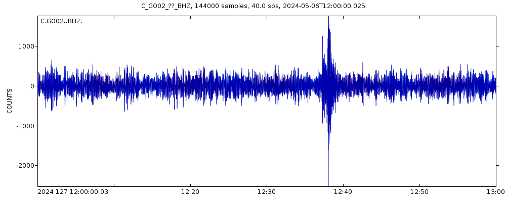
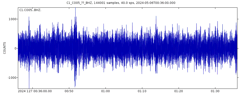
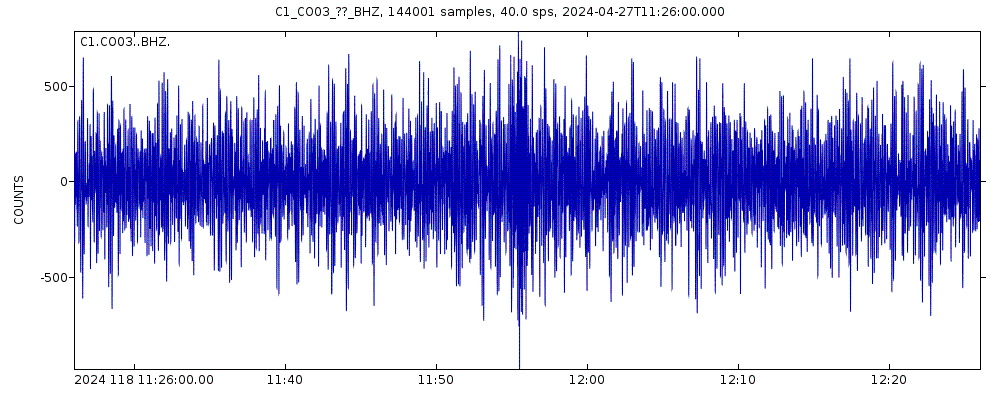
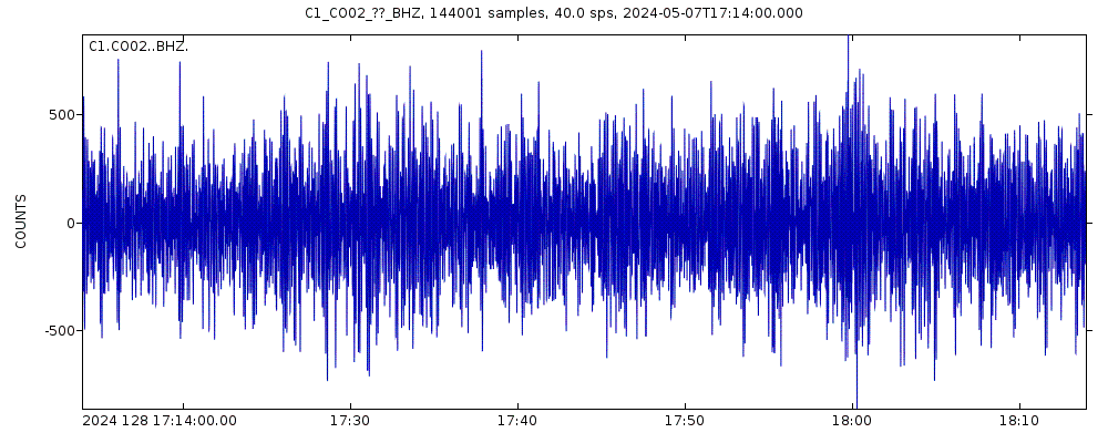
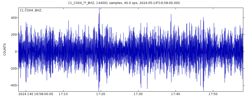
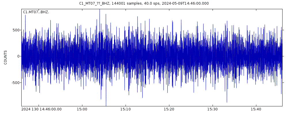
Latest seismic signals
Seismic station: Copiapo (Tierra Amarilla), Chile (GO03/C network) | Show on map | Station Info
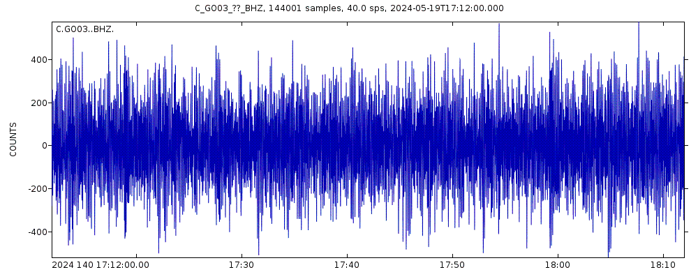
Seismogram (vertical component) last 60 minutes. Source: IRIS query builder webtool
Mostrar más

Earthquake Catalog - Buscar sismos pasados
Buscar terremotos en esta área por día, mes, año o rango de fechas:
| o | ||
Mostrando sismos más recientes y sismos con | ||


