Harold E Alexander Wildlife Management Area
Harold E Alexander Wildlife Management Area is a park in Sharp, Arkansas. Harold E Alexander Wildlife Management Area is situated nearby to the hamlets Baker and Hidden Valley.Localities in the Area
Hardy
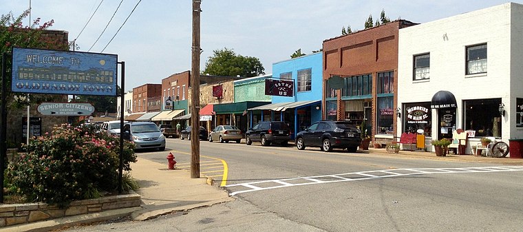
Photo: Skullrik, CC BY-SA 3.0.
Hardy is the 2nd oldest city in Sharp and Fulton counties in the U.S. state of Arkansas.
Cherokee Village
Town
Cherokee Village is a city in Fulton and Sharp counties in the U.S. state of Arkansas. Cherokee Village is situated 5 miles west of Harold E Alexander Wildlife Management Area.
Williford
Hamlet
Williford is a town in Sharp County, Arkansas, United States. The population was 70 in 2020… Williford is situated 6 miles east of Harold E Alexander Wildlife Management Area.
Harold E Alexander Wildlife Management Area
- Type: Park
- Category: recreation area
- Location: Sharp, Arkansas, South, United States, North America
- View on OpenStreetMap
Latitude
36.27923° or 36° 16' 45" northLongitude
-91.45764° or 91° 27' 28" westElevation
407 feet (124 metres)Open Location Code
868C7GHR+MWOpenStreetMap ID
node 359000581OpenStreetMap Feature
leisure=parkGeoNames ID
4113851Harold E Alexander Wildlife Management Area Satellite Map
© OpenStreetMap, Mapbox and Maxar
Localities in the Area
- BakerHamlet, 2½ miles east
- Hidden ValleyHamlet, 3 miles west
- StuartHamlet, 3½ miles west
- HighlandVillage, 3½ miles west
- Ozark AcresHamlet, 4½ miles east
Landmarks in the Area
- Hall CemeteryCemetery
- Pleasant Hill CemeteryCemetery
- Walker CemeteryCemetery, 1½ miles north
- Walter Norman 'Buck' Memorial Garden / Buford BeachPark, 2½ miles north
- Bowman HillPeak, 2½ miles northeast
Popular Destinations in Arkansas
Discover Little Rock, Fort Smith, Fayetteville and Hot Springs.
Escape to a Random Place
Discover other parks in the world.
About Mapcarta. Thanks to Mapbox for providing amazing maps. Data © OpenStreetMap contributors and available under the Open Database License. Text is available under the CC BY-SA 4.0 license, excluding photos, directions and the map. Photo: Wikimedia, CC0.