Insta
Greenland Is No Longer Larger Than Africa As Google Maps Drops Mercator Projections
Swarajya Staff
Aug 07, 2018, 09:11 PM | Updated 09:11 PM IST
Save & read from anywhere!
Bookmark stories for easy access on any device or the Swarajya app.
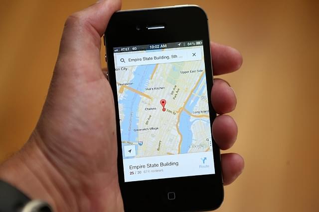
In what could probably be seen as a tech giant trolling proponents of flat-earth theories, Google has updated its Maps platform to drop the earlier Mercator maps in favour of three-dimensional globe. This means, Greenland will no longer appear larger than Africa when a user zooms out completely on the app.
The Mountain View, California-based company announced this on Twitter
The earlier Mercator projection allowed for easier representation on a two-dimensional plane, but resulted in factual inaccuracies regarding the area of landmasses. Due to the map’s “stretched-out” nature, areas near the poles appeared larger than they should be while areas near the equator appeared fine.
Thus, Greenland, which is times smaller than Africa would appear larger, a phenomenon that was shared by Scandinavian nations as well owing to their location.
An employee of Google revealed online that Mercator projections were used to road angles in higher latitudes, reports Mint.
Google’s other mapping platform, Google Earth, however has always provided 3D maps.
Save & read from anywhere!
Bookmark stories for easy access on any device or the Swarajya app.
Introducing ElectionsHQ + 50 Ground Reports Project
The 2024 elections might seem easy to guess, but there are some important questions that shouldn't be missed.
Do freebies still sway voters? Do people prioritise infrastructure when voting? How will Punjab vote?
The answers to these questions provide great insights into where we, as a country, are headed in the years to come.
Swarajya is starting a project with an aim to do 50 solid ground stories and a smart commentary service on WhatsApp, a one-of-a-kind. We'd love your support during this election season.
Click below to contribute.