Google Maps update replaces flat surface with a 3D globe, Greenland no longer bigger than Africa
The new update to Google Maps displays the Earth not as a flat surface, but as a more accurate display of the planet in the form of a globe
August 06, 2018 / 07:49 PM IST
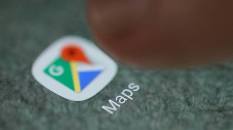
Google Maps' latest update takes the earth-viewing experience to a whole new level.
The app's flat surface view will be replaced with the spherical globe view. This update can be experienced when one zooms all the way out, thus also improving the accuracy of maps.
With 3D Globe Mode on Google Maps desktop, Greenland's projection is no longer the size of Africa.Just zoom all the way out at https://t.co/mIZTya01K3 href="https://t.co/CIkkS7It8d">pic.twitter.com/CIkkS7It8d
— Google Maps (@googlemaps) August 2, 2018
According to a report in The Verge, Google Maps, earlier based on the Mercator projection, projected Earth onto a flat surface. The style, making it easy to print, was largely standardised and presented a distorted image of the planet. The objects around the equator were scaled relative to one another while objects closer to the poles appeared larger than they were. For instance, Greenland appeared larger than Africa, but in reality, Africa is 14 times larger than Greenland.
Related stories


An employee working at Google had explained in 2009 that the first launch of Maps did not use Mercator, and streets in high latitude places like Stockholm did not meet at right angles on the Map the way they do in reality.
The new update to Google Maps displays the Earth not as a flat surface, but as a more accurate display of the Earth in the form of a globe, with the sun and stars in the background.
Highlighting the change on its Google Maps Twitter feed, the global tech giant spoke about its new 3D Globe Mode, “Greenland’s projection is no longer the size of Africa.”
Still appearing flat in its mobile app, the new change can be seen through the desktop interface. This change has come as the recent one in a series from the company. Earlier in June 2018, Google redesigned its Explore option making it easier to locate restaurants.

Invite your friends and family to sign up for MC Tech 3, our daily newsletter that breaks down the biggest tech and startup stories of the day


Discover the latest business news, Sensex, and Nifty updates. Obtain Personal Finance insights, tax queries, and expert opinions on Moneycontrol or download the Moneycontrol App to stay updated!