Canada Road Map Pictures, Images and Stock Photos
Browse 500+ canada road map stock photos and images available, or start a new search to explore more stock photos and images.
Most popular
illustration was published in 1897 “Nordamerica" scan by Ivan Burmistrov
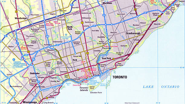
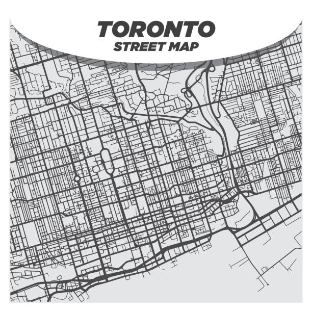
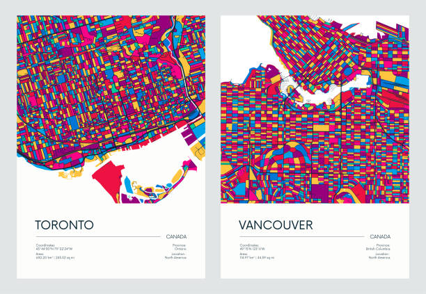
Toronto, Canada map. Source: "World reference atlas"
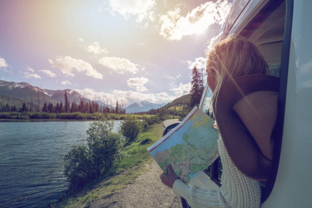
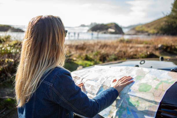
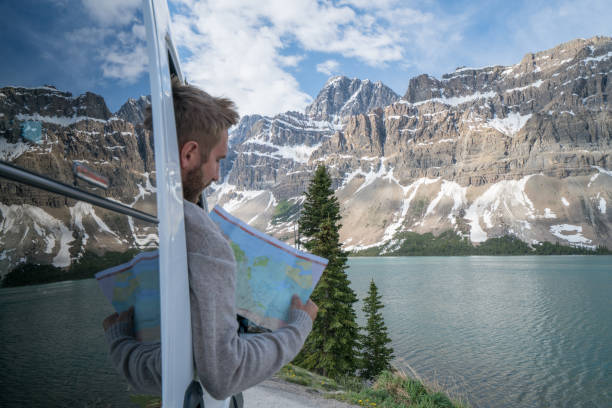
Young woman in car on mountain road looks at map for directions. Mountain lake landscape in Springtime with snow melting.
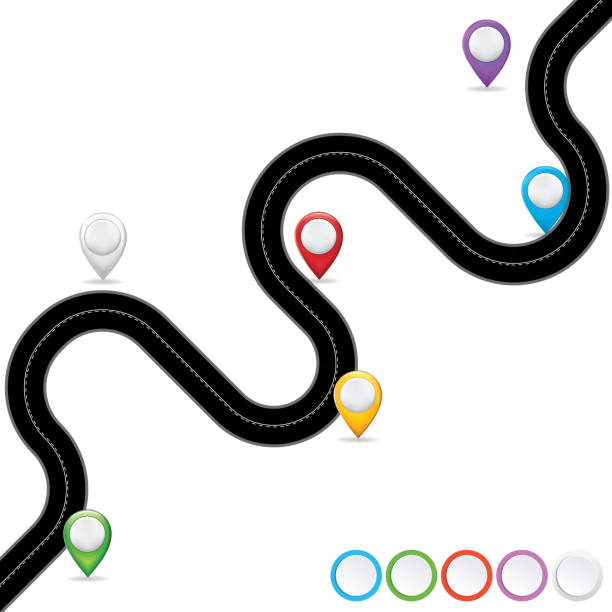
Streets infographics on a transparent base. The road ‘brush’ is in the brushes palette.
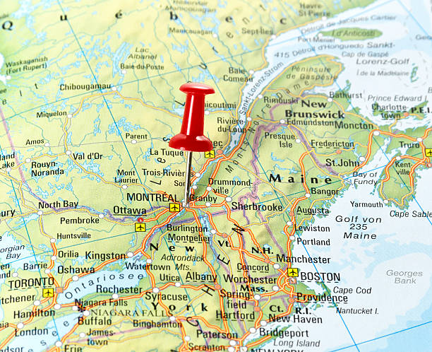
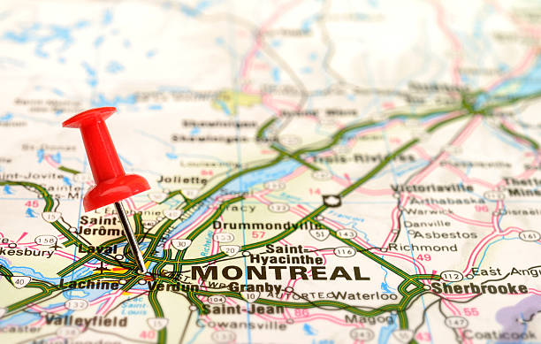
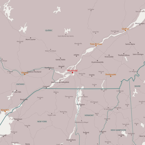
Map of Canada with pin set on Montreal.
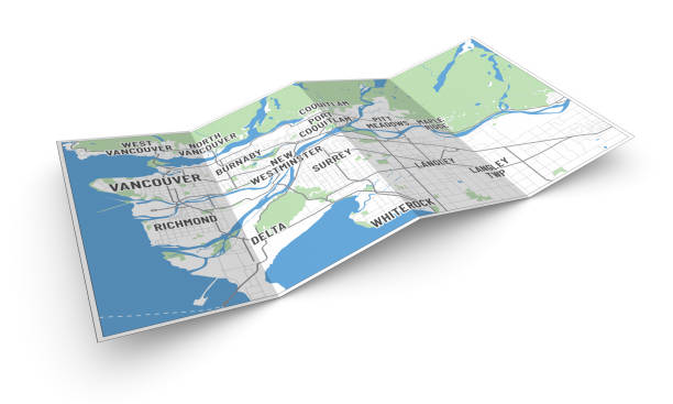
Perspective view of a 4-folded leaflet or brochure with modern map of Vancouver. Cities written in modern font. Isolated on white.
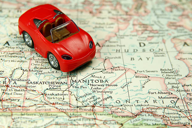
Toy car on Canada map.
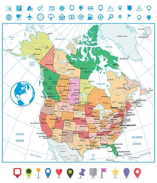
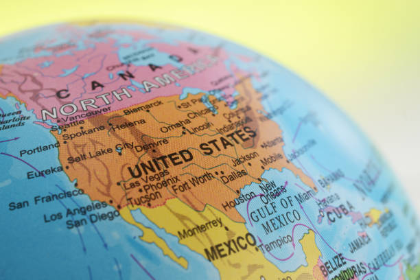
USA and Canada large detailed political map with roads, navigation icons and water objects isolated on white.
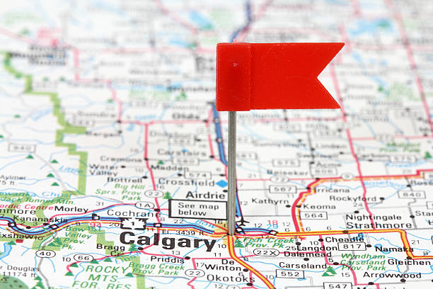
Calgary in Alberta, Canada. Red flag pin on an old map showing travel destination.
pushpin on a tourist map for travelling
![Map and Flag of Canada Map and Flag of Canada. Source "World reference atlas"
[url=/search/lightbox/5890567][IMG]http://farm4.static.flickr.com/3574/3366761342_e502f57f15.jpg?v=0[/IMG][/url]
[url=/file_search.php?action=file&lightboxID=8385719][IMG]http://farm6.staticflickr.com/5209/5368284865_fa22321d18.jpg[/IMG][/url] canada road map stock pictures, royalty-free photos & images](https://media.istockphoto.com/id/123145415/photo/map-and-flag-of-canada.jpg?s=612x612&w=0&k=20&c=-g2k7kIYIpyrQ0bcU-6AYzOF4-98WDbLT6_cHzkH4XQ=)
Map and Flag of Canada. Source "World reference atlas" [url=/search/lightbox/5890567][IMG]http://farm4.static.flickr.com/3574/3366761342_e502f57f15.jpg?v=0[/IMG][/url] [url=/file_search.php?action=file&lightboxID=8385719][IMG]http://farm6.staticflickr.com/5209/5368284865_fa22321d18.jpg[/IMG][/url]
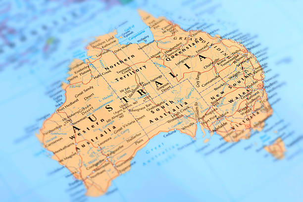
Map of Australia. Selective Focus.
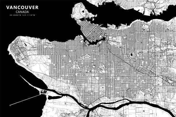
Poster Style Topographic / Road map of Vancouver, British Columbia, Canada. Map data is open data via openstreetmap contributors. All maps are layered and easy to edit. Roads are editable stroke.
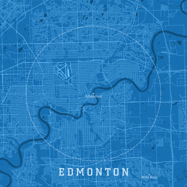
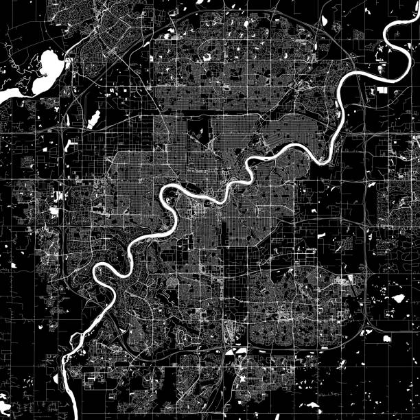
Edmonton Alberta City Vector Road Map Blue Text. All source data is in the public domain. Statistics Canada. Used Layers: Road Network and Water.
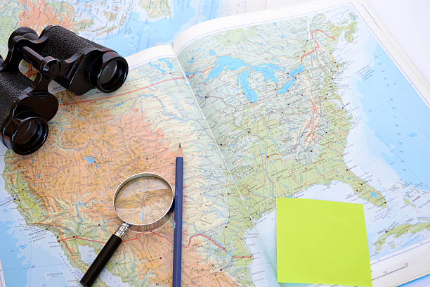
map of North America with magnifying glass, binoculars, pencil
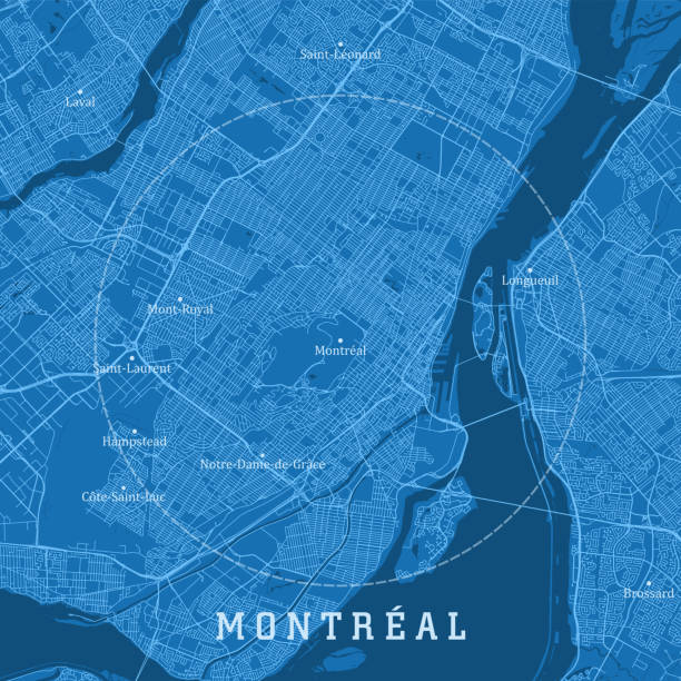
Montreal QC City Vector Road Map Blue Text. All source data is in the public domain. Statistics Canada. Used Layers: Road Network and Water.
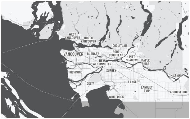
Canada, British Columbia. Written city names of metro Vancouver. Roads, highways US border visible. Dark color theme with text.
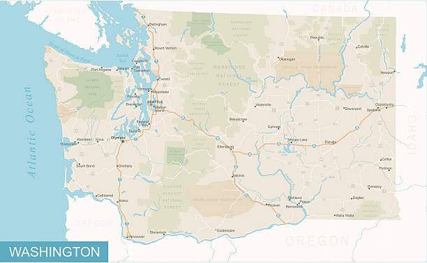
Highly detailed map of Washington state (USA).
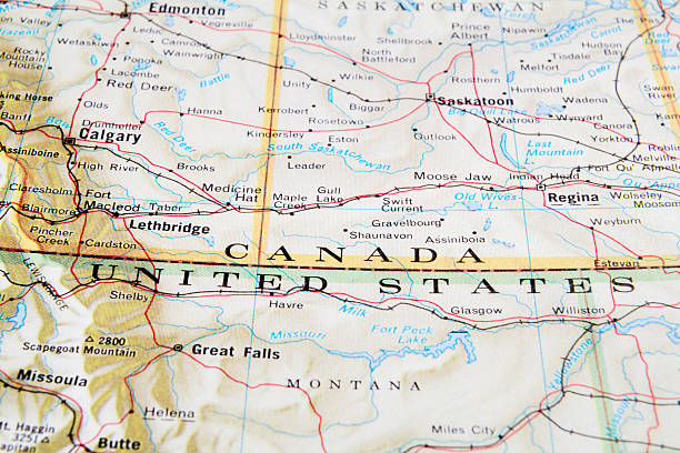
Canada and USA border.
Young man in car on mountain road looks at map for directions. Mountain lake landscape in Springtime with snow melting.
![City map of Toronto Toronto, Canada map. Source: "World reference atlas"
[url=/search/lightbox/5890567][IMG]http://farm4.static.flickr.com/3574/3366761342_e502f57f15.jpg?v=0[/IMG][/url]
[url=/search/lightbox/8385719][IMG]http://farm6.static.flickr.com/5209/5368284865_58507fbb8c.jpg[/IMG][/url] canada road map stock pictures, royalty-free photos & images](https://media.istockphoto.com/id/110925673/photo/city-map-of-toronto.jpg?s=612x612&w=0&k=20&c=73zogoC0KGVsREnOuS9grxNiOO95MOZNaanHzow_t6s=)
Toronto, Canada map. Source: "World reference atlas" [url=/search/lightbox/5890567][IMG]http://farm4.static.flickr.com/3574/3366761342_e502f57f15.jpg?v=0[/IMG][/url] [url=/search/lightbox/8385719][IMG]http://farm6.static.flickr.com/5209/5368284865_58507fbb8c.jpg[/IMG][/url]
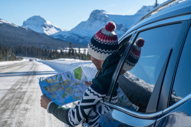
Young man in car on mountain road looks at map for directions. Mountain landscape in winter with snow covering road and pine trees.
Young man in car on mountain road looks at map for directions. Mountain landscape in winter with snow covering road and pine trees.
Montreal Canada Area Vector Map. All source data is in the public domain. Made with Natural Earth. http://www.naturalearthdata.com/about/terms-of-use/
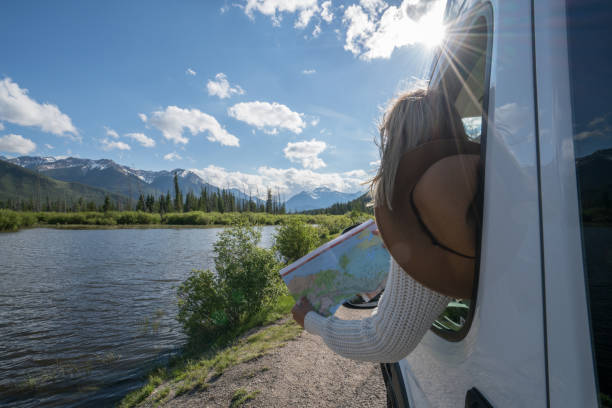
Young woman in car on mountain road looks at map for directions. Mountain lake landscape in Springtime with snow melting.
A set of road trip icons. File is built in the CMYK color space for optimal printing. Color swatches are global so it’s easy to edit and change the colors.
Topographic / Road map of Edmonton, Alberta, Canada. Map data is open data via openstreetmap contributors. All maps are layered and easy to edit. Roads are editable stroke.

A seamless pattern created from a single flat design icon, which can be tiled on all sides. File is built in the CMYK color space for optimal printing and can easily be converted to RGB. No gradients or transparencies used, the shapes have been placed into a clipping mask.
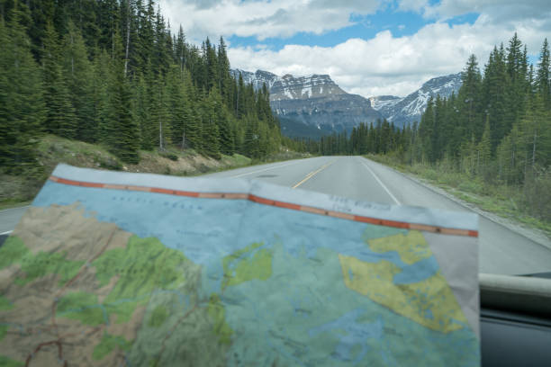
Point of view of mountain road, map on foreground.
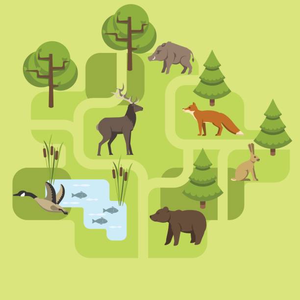
Animals living in Eurasia, a protected area, a hunting ground, a territory of the zoo
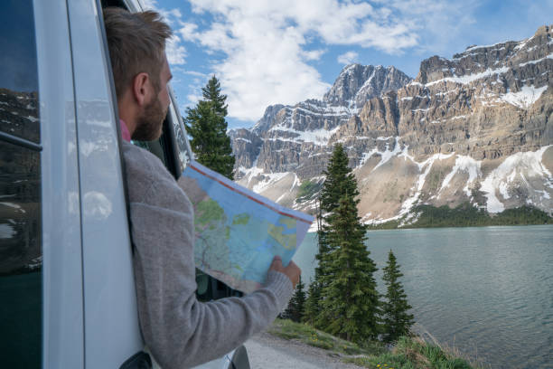
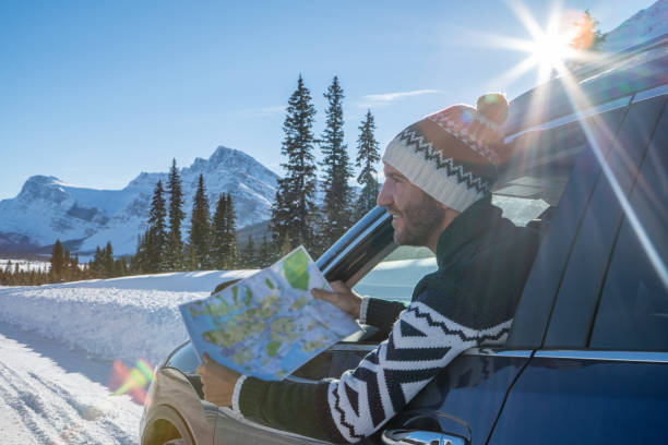
Young man in car on mountain road looks at map for directions. Mountain lake landscape in Springtime with snow melting.
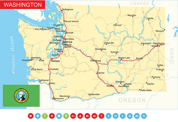
Highly detailed map of Washington state (USA).
A icon map of North America
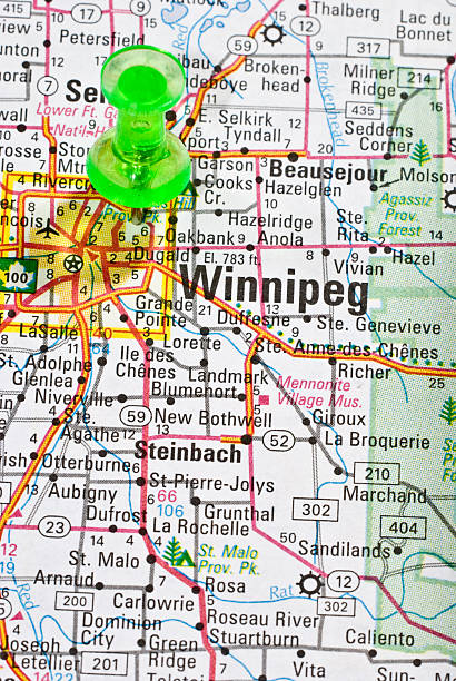
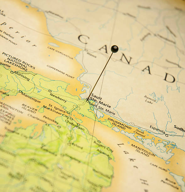
Close up of the old map showing Winnipeg, Canada. Please check out my maps lightbox for more similar images. http://i70.photobucket.com/albums/i102/mzelkovi/maps-1.jpg
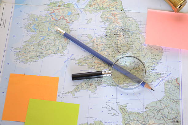
map of United Kingdom and Republic of Ireland with magnifying glass and pencil
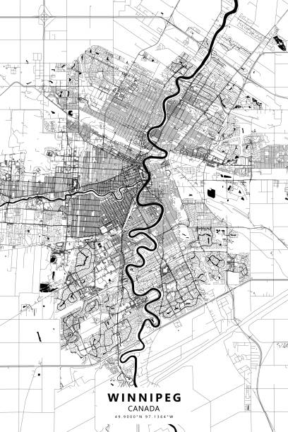
Poster Style Topographic / Road map of Winnipeg, Manitoba, Canada. Original map data is open data via openstreetmap contributors. All maps are layered and easy to edit. Roads are editable stroke.
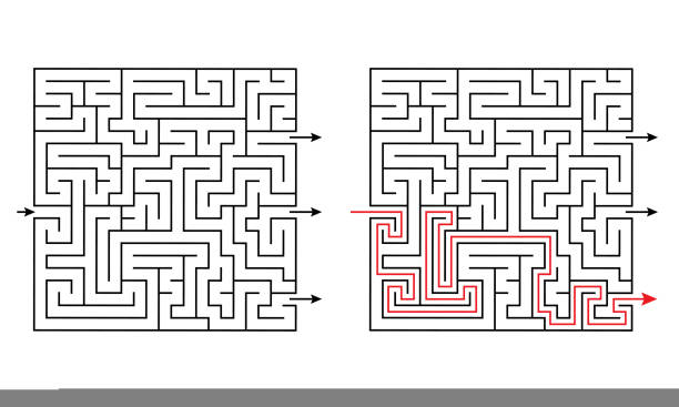
Maze labyrinth educational logic game for kids with several exits and solution. Challenging puzzle for Montessori school. Find the way out. Square rebus vector illustration for children's education
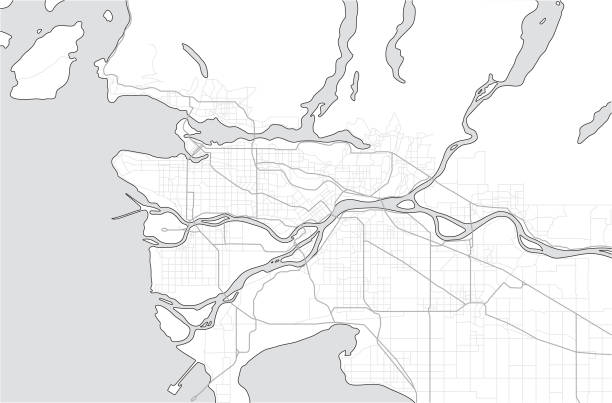
Tourist map or guide of Metro Vancouver BC. A simple grey scale map without text.

Concept for e-commerce, track service or home delivery shopping. Funny pets using technology or pets imitating owners. Fake mockup screen.
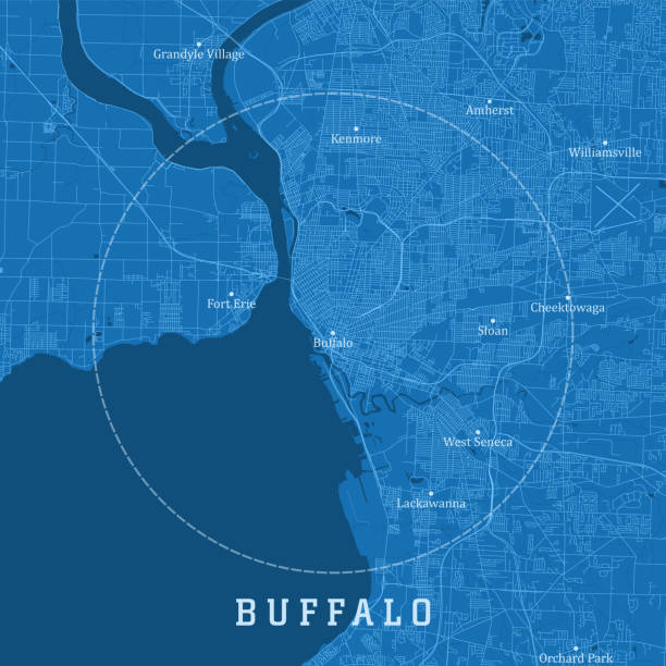
Buffalo NY City Vector Road Map Blue Text. All source data is in the public domain. U.S. Census Bureau Census Tiger. Used Layers: areawater, linearwater, roads. Statistics Canada. Used Layers: Road Network and Water.
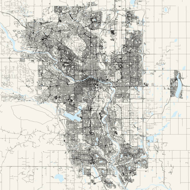
Topographic / Road map of Calgary, Canada. Map data is open data via openstreetmap contributors. All maps are layered and easy to edit. Roads are editable stroke.

One continuous line drawing of Earth globe with paper airplane. Flight route path on world map in simple linear style. Travel and flight airline. Editable stroke. Doodle vector illustration.
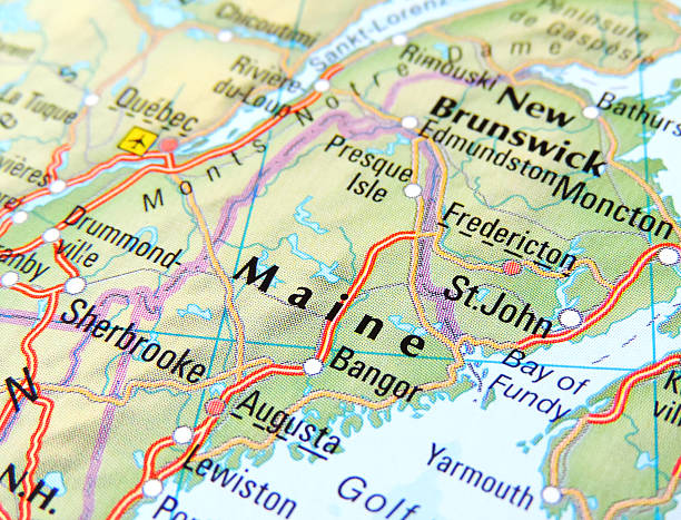
Map of Maine, USA.
Landscape with mountain peaks. Winter sport vacation and outdoor recreation. Concept website template. Vector illustration
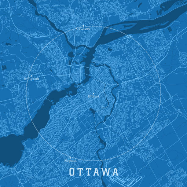
Ottawa ON City Vector Road Map Blue Text. All source data is in the public domain. Statistics Canada. Used Layers: Road Network and Water.
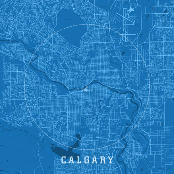
Calgary Alberta City Vector Road Map Blue Text. All source data is in the public domain. Statistics Canada. Used Layers: Road Network and Water.

Toronto Canada Area Vector Map. All source data is in the public domain. Made with Natural Earth. http://www.naturalearthdata.com/about/terms-of-use/
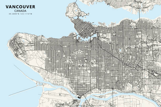
Poster Style Topographic / Road map of Vancouver, British Columbia, Canada. Map data is open data via openstreetmap contributors. All maps are layered and easy to edit. Roads are editable stroke.
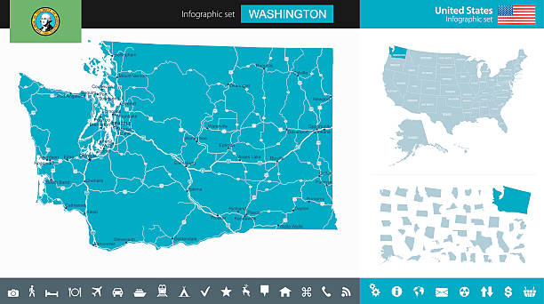
Highly detailed map of Washington state and USA.
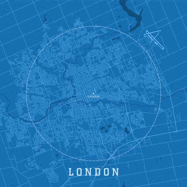
London ON City Vector Road Map Blue Text. All source data is in the public domain. Statistics Canada. Used Layers: Road Network and Water.
A flat design icon with a long shadow. File is built in the CMYK color space for optimal printing. Color swatches are global so it’s easy to change colors across the document.