Interactive resources you can assign in your digital classroom from TPT.


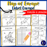
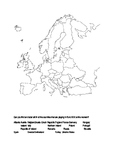
Results for label map of europe
- Relevance
- Rating
- Price (Ascending)
- Most Recent
- List
- Grid

Also included in: Around the 7 Continents BUNDLE
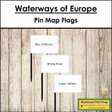
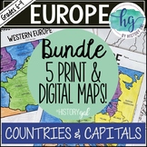
Also included in: Europe Deluxe Continent Bundle (Color Borders) - Montessori Geography
Also included in: Europe Deluxe Continent Bundle (Color Borders) - Montessori Geography
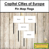
Also included in: Europe Deluxe Continent Bundle - Montessori Geography
Also included in: Europe Deluxe Continent Bundle - Montessori Geography


 Google Drive™ folder
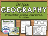

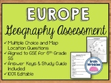
Also included in: Europe Unit BUNDLE - Geography, History, Government, Economics, Etc.

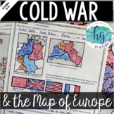

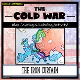
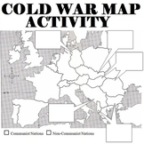
Also included in: Cold War Bundle for U.S. and World History


Also included in: World War II Bundle

- Google Apps™


Also included in: Historical Mapping Activities BUNDLE


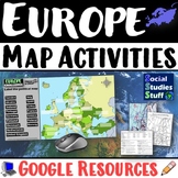
Also included in: Geography Mapping Activities BUNDLE
Also included in: Historical Mapping Activities BUNDLE
Also included in: Montessori Maps Of The World Bundle - World Geography

Also included in: Historical Mapping Activities BUNDLE