Crane Park
Crane Park is a park in Stanislaus County. Crane Park is situated nearby to the village Denair.Notable Places in the Area
Turlock High School
School
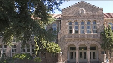
Photo: goldleviathan, CC BY 3.0.
Turlock High School is a comprehensive high school located in Turlock, in the heart of the northern San Joaquin Valley in the U.S. state of California.
Emanuel Medical Center
Hospital
Emanuel Medical Center is a 209-bed acute care hospital located in Turlock, Calif.
California State University - Stanislaus
University
California State University, Stanislaus is a public university in Turlock, Stanislaus County, California. California State University - Stanislaus is situated 2 miles northwest of Crane Park.
Localities in the Area
Turlock
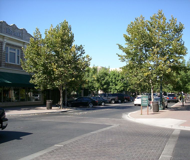
Photo: Intothewoods29, Public domain.
Turlock is in California's San Joaquin Valley. It is the home of California State University Stanislaus.
Denair
Village
Denair is a census-designated place in Stanislaus County, California, United States. Denair is situated 2½ miles northeast of Crane Park.
Cortez
Locality
Cortez is an unincorporated community in Merced County, California. Cortez is situated 5 miles east of Crane Park.
Crane Park
- Type: Park
- Category: recreation area
- Location: Stanislaus County, San Joaquin Valley, California, United States, North America
- View on OpenStreetMap
Latitude
37.50155° or 37° 30' 6" northLongitude
-120.83217° or 120° 49' 56" westElevation
108 feet (33 metres)Open Location Code
849XG529+J4OpenStreetMap ID
way 232201460OpenStreetMap Feature
leisure=parkGeoNames ID
5340513Crane Park Satellite Map
© OpenStreetMap, Mapbox and Maxar
Other Places Named Crane Park
In the Area
Localities
Landmarks
- Turlock Community TheaterTheater
- Louise Marchant GymnasiumSports venue
- Steve Feaver Aquatic CenterSports venue
- First United Methodist Church of TurlockChurch
- Saint Francis Episcopal ChurchChurch
- Turlock High School Football FieldPitch
A journey is best measured in friends, rather than miles. - Tim Cahill
Escape to a Random Place
Discover the parks Quinta de los Molinos Park in Madrid, Spain and Kiefer Park in Michigan, United States.
About Mapcarta. Thanks to Mapbox for providing amazing maps. Data © OpenStreetMap contributors and available under the Open Database License. Text is available under the CC BY-SA 4.0 license, excluding photos, directions and the map. Photo: Wikimedia, CC0.