Le Chaumont
Le Chaumont is a hamlet in Switzerland. Le Chaumont is situated nearby to the hamlet La Theurre and the locality La Maison Neuve.Notable Places in the Area
Etang de la Gruère
Lake

Photo: DidiWeidmann, CC BY-SA 3.0.
Etang de la Gruère is a small lake in the Jura range near Saignelégier, Canton of Jura, Switzerland.
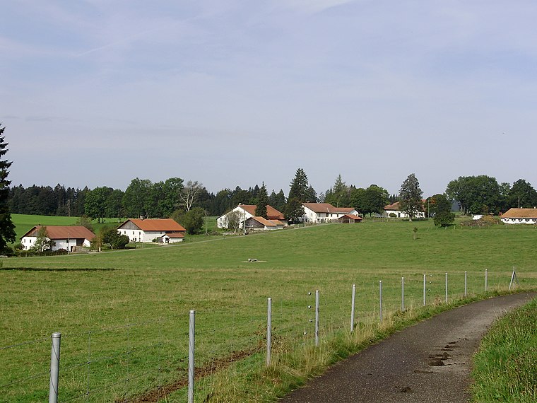
La Chaux-des-Breuleux railway station
Railway stop

Photo: Gestumblindi, CC0.
La Chaux-des-Breuleux railway station is a railway station in the municipality of La Chaux-des-Breuleux, in the Swiss canton of Jura.
Saignelégier railway station
Railway station

Photo: Wikimedia, CC BY-SA 3.0.
Saignelégier railway station is a railway station in the municipality of Saignelégier, in the Swiss canton of Jura. Saignelégier railway station is situated 3½ km northwest of Le Chaumont.
Localities in the Area
La Chaux-des-Breuleux
Village

Photo: LuFiLa, CC BY-SA 4.0.
La Chaux-des-Breuleux is a former municipality in the district of Franches-Montagnes in the canton of Jura in Switzerland.
Les Breuleux
Village

Photo: LuFiLa, CC BY-SA 4.0.
Les Breuleux is a municipality in the district of Franches-Montagnes in the canton of Jura in Switzerland. Les Breuleux is situated 3½ km southwest of Le Chaumont.
Le Chaumont
- Type: Hamlet
- Category: locality
- Location: Switzerland, Central Europe, Europe
- View on OpenStreetMap
Latitude
47.23579° or 47° 14' 9" northLongitude
7.03443° or 7° 2' 4" eastOpen Location Code
8FV962PM+8QOpenStreetMap ID
node 435560178OpenStreetMap Feature
place=hamletLe Chaumont Satellite Map
© OpenStreetMap, Mapbox and Maxar
Other Places Named Le Chaumont
In the Area
Le Chaumont is situated close to the locality Le Cerneux-Belin and the hamlet La Petite Theurre.
Localities
- Le RoseletLocality
- Les RoyesLocality
- Le ParadisLocality
- Sous-la-NeuvevieLocality
- Les CoeudevezLocality, 2½ km north
- Les ChenevièresHamlet, 2½ km west
Landmarks
- Centre Nature Les CerlatezMuseum
- La Tourbière de la Chaux
- Étang des RoyesLake
- Source du Pied d'OrSpring
- Hornuss strike pitchPitch
- Le Pied-d'Or railway stationRailway stop
A journey is best measured in friends, rather than miles. - Tim Cahill
Escape to a Random Place
Discover the hamlets Callejón Vecinal Sur in Chile and Moota in Cumbria, United Kingdom.
About Mapcarta. Thanks to Mapbox for providing amazing maps. Data © OpenStreetMap contributors and available under the Open Database License. Text is available under the CC BY-SA 4.0 license, excluding photos, directions and the map. Photo: Simonizer, CC BY-SA 2.0 de.