Gmina Walim
Gmina Walim is in Lower Silesian Voivodeship. Gmina Walim is situated nearby to Saint Barbara church in Walim and the sports venue Centrum Sportu i Rekreacji w Walimiu.Notable Places in the Area
Saint Barbara church in Walim
Church

Photo: Jacek Halicki, CC BY 3.0.
Saint Barbara church in Walim is situated 240 metres southeast of Gmina Walim.

Wielka Sowa
Peak

Photo: Jacek Halicki, CC BY-SA 4.0.
Wielka Sowa with a height of 1,014.8 metres is the highest peak of the Owl Mountains, a range of the Central Sudetes. Wielka Sowa is situated 4 km southeast of Gmina Walim.
Localities in the Area
Walim
Village
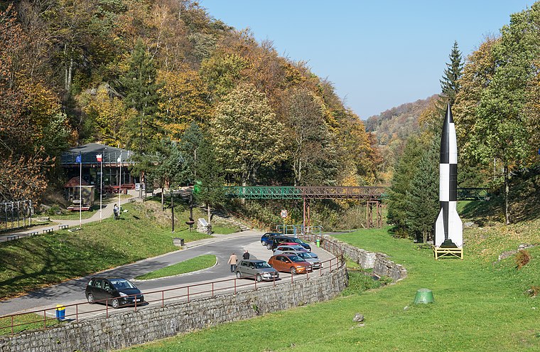
Photo: Jacek Halicki, CC BY-SA 4.0.
Walim is a village in Wałbrzych County, Lower Silesian Voivodeship, in south-western Poland.
Rzeczka
Village

Photo: Jacek Halicki, CC BY 3.0.
Rzeczka is a village in the administrative district of Gmina Walim, within Wałbrzych County… Rzeczka is situated 3 km south of Gmina Walim.
Glinno
Village
 Glinno is a village in the administrative district of Gmina Walim, within Wałbrzych County… Glinno is situated 3 km northeast of Gmina Walim.
Gmina Walim
- Type: Map
- Categories: information and tourism
- Location: Lower Silesian Voivodeship, Poland, Central Europe, Europe
- View on OpenStreetMap
Latitude
50.70031° or 50° 42' 1" northLongitude
16.43963° or 16° 26' 23" eastOpen Location Code
9F2RPC2Q+4VOpenStreetMap ID
node 3728336711OpenStreetMap Feature
tourism=informationGmina Walim Satellite Map
© OpenStreetMap, Mapbox and Maxar
Other Places Named Gmina Walim
In the Area
Gmina Walim is situated close to the fire station Ochotnicza Straż Pożarna w Walimiu and the post office Poczta.
Landmarks
- Urząd Gminy WalimTown hall, 320 metres north
- Agencja Pocztowa WalimPost office, 390 metres southeast
- Zbór Ewangelicznej Wspólnoty ZielonoświątkowejChurch, 410 metres north
- Park JordanowskiPark, 410 metres southeast
- Chłopska GóraPeak
- Kościół pw. św. JadwigiChurch, 470 metres southeast
Other Places
- Walim - Wyszyńskiego 20Bus stop
- Największe atrakcje gminy Walim
- Walim
- Walim - Wyszyńskiego 20Bus stop
- SłonecznaPharmacy
- Carrefour ExpressConvenience store, 160 metres southeast
I travel not to go anywhere, but to go. I travel for travel's sake. The great affair is to move. - Robert Louis Stevenson
Escape to a Random Place
Discover Beskid Niski - Bieszczady in Podkarpackie, Poland and Plateau Vivarais-Lignon in Auvergne-Rhône-Alpes, France.
About Mapcarta. Thanks to Mapbox for providing amazing maps. Data © OpenStreetMap contributors and available under the Open Database License. Text is available under the CC BY-SA 4.0 license, excluding photos, directions and the map. Photo: Sicherlich, CC BY 3.0.