Below is a snapshot of the Web page as it appeared on 4/30/2024 (the last time our crawler visited it). This is the version of the page that was used for ranking your search results. The page may have changed since we last cached it. To see what might have changed (without the highlights), go to the current page.
Bing is not responsible for the content of this page.
Brewster County
Texas State Historical Association (TSHA)
https://www.tshaonline.org
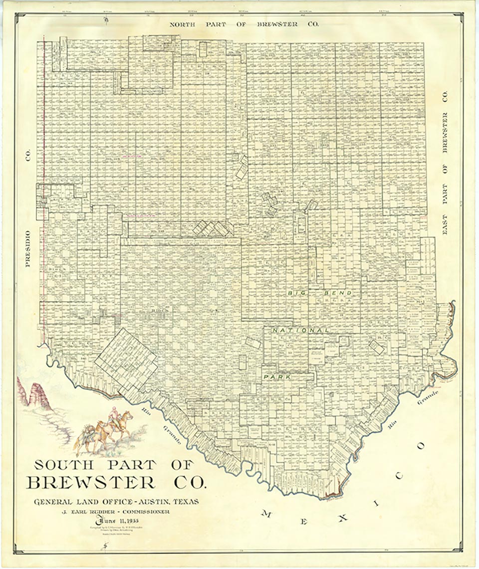
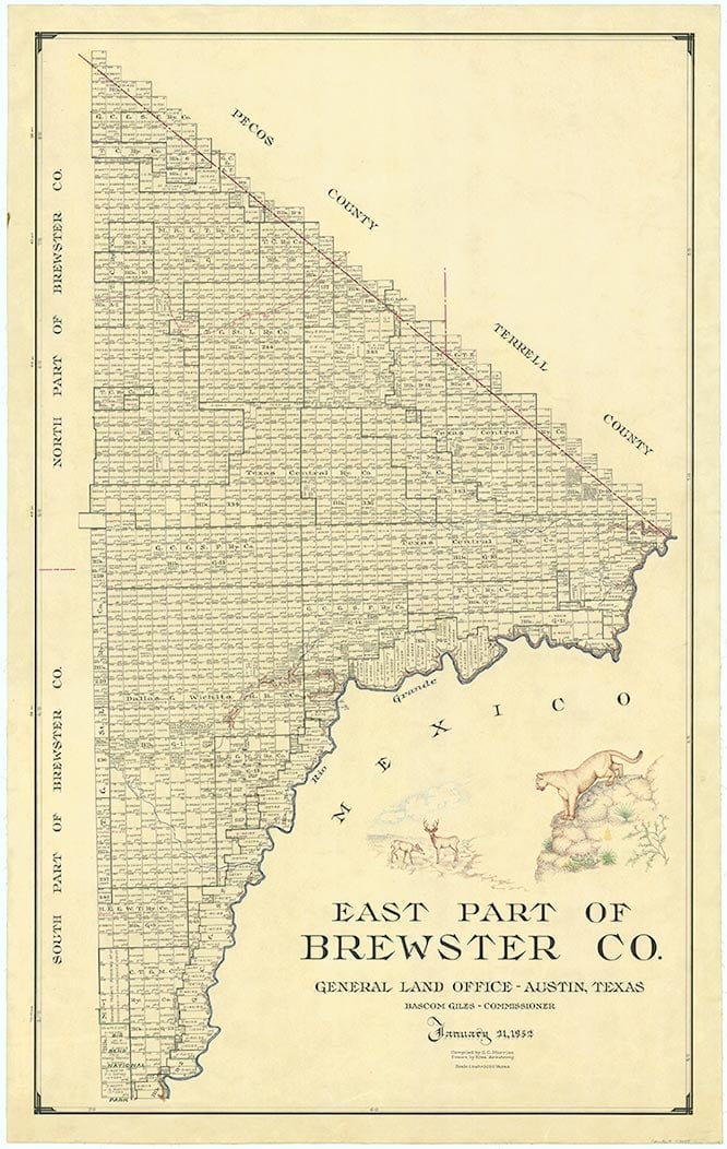
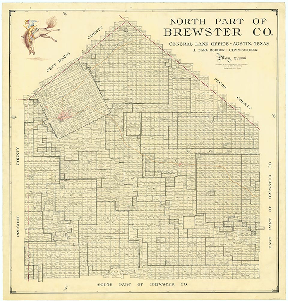
Brewster County (L-7), the largest county in Texas, is located in the Trans-Pecos region of West Texas, and is the site of Big Bend National Park, the largest park in the state. Brewster County is bordered by Presidio County to the west, Jeff Davis County to the northwest, Pecos County and Terrell County to the east, and the Rio Grande to the south. Alpine, the county seat and largest town, is 220 miles southeast of El Paso in northwestern Brewster County. The county's center lies about fifty miles southeast of Alpine at approximately 29°51' north latitude and 103°01' west longitude. U.S. Highway 90 and the Southern Pacific Railroad cross the northern part of the county; U. S. Highway 385 and State Highway 118 enter Brewster County from the northeast and northwest, respectively, and run south to Big Bend National Park; and the South Orient Railroad crosses the northwestern part of the county.
Brewster County comprises 6,169 square miles of largely rough and mountainous terrain, with elevations ranging from 1,700 to 7,825 feet above sea level; the latter elevation, the tenth highest in the state, is at Emory Peak. Most of Brewster County drains into the Rio Grande, although the northern part drains into the Pecos River. Soils are generally shallow and stony, with some loamy to sandy soils and clayey subsoils. Vegetation at lower elevations in the county is drought resistant; sparse grasses, desert shrubs such as ocotillo, lechuguilla, sotol, acacias, tarbrush, and creosote bush, some mesquite, and cactus predominate. At intermediate elevations vast grasslands occur in mountain basins; white oak, juniper, and piñon woodlands dominate the slopes. Douglas fir, aspen, Arizona cypress, maple, Arizona pine, oaks, and madrone are found at the higher elevations. The fauna in Brewster County includes the pronghorn antelope, mule deer, white-tail deer, bobcat, mountain lion, desert bighorn sheep, black bear, coyote, raccoon, badger, prairie dog, pack rat, kangaroo rat, skunk, ringtail cat, porcupine, jackrabbit, cottontail, golden eagle, roadrunner, quail, dove, rock wren, white-winged dove, mourning dove, Canyon Wren, painted bunting, zone-tailed black hawk, and Colima warbler. Mineral resources include mercury, silver, lead, fluorspar, nonceramic clay, and lignite coal. Of these, the most important to the historical development of Brewster County was mercury; for most of the first half of the twentieth century the Terlingua Mining District in southern Brewster County was among the nation's leading producers (seeMERCURY MINING). The climate is subtropical-arid. The average minimum temperature in January is 34° F, and the average maximum temperature in July is 95°. The growing season averages 239 days a year, and the average annual precipitation is twelve inches. Less than 1 percent of the land in the county is considered prime farmland.
The area of southern Brewster County now in Big Bend National Park has long fascinated man, who has lived there for more than 9,000 years. The first human beings in the Big Bend were probably nomadic hunters and gatherers moving south ahead of the great ice sheets of the North American glaciers. When a prolonged period of drought ensued, the large game animals disappeared, and so did the people. When the drought ended, between 4000 and 3000 b.c., man reappeared. By around a.d. 1000 residents of the area were practicing rudimentary agriculture and could no longer be considered nomadic; and by the time the Spanish began to arrive, in the sixteenth century, pueblo culture had begun in the Big Bend.
The first European to set foot in what is now Brewster County may have been Álvar Núñez Cabeza de Vaca in 1535; more certain is the presence in August 1583 of Antonio de Espejo's expedition, which probably passed the future site of Alpine en route to La Junta de los Ríos. Juan Domínguez de Mendoza is believed to have camped at Kokernot Spring, just northeast of Alpine, in 1684. But there was no extensive European presence in the Big Bend until the middle of the eighteenth century, when the Spanish began to explore the area in an effort to combat Indian raids into Mexico from the north. In 1747 Governor Pedro de Rábago y Terán of Coahuila led an expedition into the Chisos Mountains, and in 1772 Lt. Col. Hugo Oconór led an expedition to locate sites for forts along the Rio Grande. Oconor placed Capt. Francisco Martínez in command of the presidio at San Vicente, on the Comanche Trail on the Mexican side of the river. Between 1779 and 1783 Col. Juan de Ugalde organized four assaults on the Mescalero Apaches who had settled in northern Mexico, the last of which drove them back across the Rio Grande and into the Chisos Mountains, where the Spanish pursuit halted. The Mescaleros reemerged, and in January 1787 Ugalde launched a new campaign against them. When the Indians again sought refuge in the Chisos Mountains, Ugalde decided to follow them with forty men. In the ensuing battle the Spanish killed hundreds of Indians and captured many more, while suffering only one death of their own. In the face of such defeats, the three leading Mescalero chiefs, Patula Grande, Quemado, and Zapato Tuerto, agreed in March 1789 to submit to Spanish rule.
For much of the nineteenth century the presence of Comanche raiding parties on their way to and from Mexico combined with the forbidding local topography to discourage European exploration of the Big Bend. The first Mexican and American explorers of the area, who arrived after the Mexican War, found harsh country indeed. In October 1851 Col. Edvard Emil Langberg, a Dane who was the Mexican commandant of Chihuahua, traversed what is now southern Brewster County. In the autumn of 1852 M. T. W. Chandler, assigned by the United States-Mexico boundary survey to work down the Rio Grande from Presidio del Norte to the mouth of the Pecos River, led a party into what is now the heart of Big Bend National Park. Chandler explored Santa Elena Canyon, the Chisos Mountains (where he named the highest peak after his boss, William H. Emory), Mariscal Canyon, and Boquillas Canyon before giving up due to a shortage of supplies and the weakened condition of his party.
In the summer of 1859 a camel expedition under 2d Lt. Edward L. Hartz set out from Fort Davis to explore the Comanche Trail and recommend a possible site for a fort on the Mexican border to protect against Indian raids. Hartz went through Persimmon Gap and down Tornillo Creek to the Rio Grande. A year later, a second camel expedition under 2d Lt. William Echols also explored along the Rio Grande, with the same goal as the Hartz expedition (seeCAMELS). Before a fort could be built, however, the outbreak of the Civil War put an end to those plans.
After the war, three interrelated factors led to White settlement of what later became Brewster County: the presence of the United States Army, the development of the cattle industry, and the arrival of the railroad, all of which happened more or less simultaneously. Taking advantage of the Civil War, Indian cattle-rustling raids via the Comanche Trail rose sharply during the early 1860s and greatly reduced the number of cattle in northern Mexico. The high prices consequently paid by Mexican ranchers for imported cattle convinced Central Texas cattlemen to chance the long drive across the Big Bend country.
The revival of trade between Texas and Mexico along what has been called the Chihuahua Trail brought freighters and other transients to the future Brewster County. Kokernot Spring, where Mendoza had camped two centuries earlier, became a principal stopping place on the trail, renamed Burgess Waterhole after pioneering freighter John D. Burgess, whose wagon train was attacked by Indians there. In response to such threats, officials at Fort Davis established Camp Peña Colorado a few miles south of the future site of Marathon in 1879. Burgess and such other freighters as August Santleben helped spread the word about the open rangeland available in the Big Bend, and in the 1870s many ranchers from other parts of the state made plans to come west and investigate the area. Among them were Beverly Greenwood, from the Del Rio area, who came in 1878 and spent several months exploring northern Brewster County; Mayer and Solomon Halff, San Antonio merchants who leased to the government the land on which Camp Peña Colorado was located and who later became the first men to ship cattle into what is now Brewster County; and John Beckwith, who in 1879 drove a herd of cattle to the vicinity of Peña Colorado Springs and later contracted to supply meat to Camp Peña Colorado.
The burgeoning cattle industry got a major boost in 1882, when the Galveston, Harrisburg and San Antonio Railway built through the area. Suddenly the gradual influx of cattlemen became a veritable flood, as a number of surveyors who had come with the railroad, and the Texas Rangers who had been assigned to protect them, elected to stay. Among them were such men as Alfred S. Gage, James B. Gillett, and Joseph D. Jackson, who soon became the leading citizens of Brewster County.
Initially, at least, ranchers generally settled in the northern part of what is now Brewster County, for ease of shipping their cattle via the railroad; the Gage Ranch and the G4 Ranch, started in the mid-to-early 1880s, were the first major cattle operations in what is now southern Brewster County, and Gage soon moved north to be nearer the railhead. Several towns sprang up along the rails, the most significant of which were Alpine, then called Murphyville, and Marathon.
These two quickly became shipping points and important supply centers for the booming cattle industry. Five years after the coming of the railroad, in 1887, Brewster County was marked off from Presidio County, as were Jeff Davis, Buchel, and Foley counties. Brewster County was named for Henry P. Brewster, secretary of war under David G. Burnet. Buchel and Foley counties were not organized and were attached to Brewster County for judicial purposes. The first Brewster County elections were held on February 4, 1887, when Murphyville was selected as county seat; on March 14 of that year a contract was let for the construction of the Brewster County courthouse and jail. In 1890 Brewster County had just 710 residents, while Buchel and Foley counties had only 298 and 25 residents respectively. By 1897 Buchel and Foley counties had still not been organized, and in that year their territory was officially added to that of Brewster County, making the latter the largest county in Texas.
About this time the mercury-mining industry exploded in southern Brewster County. Scattered agricultural communities had existed for years on both sides of the Rio Grande, but had been largely ignored by the county government in Alpine, due to their isolated position and relatively small and heavily Hispanic populations. In 1884, however, a Presidio merchant named Ignatz Kleinman made the first significant discovery of mercury in the Big Bend, setting off a mining boom that made the Terlingua Mining District one of the leading sources of mercury in the nation in the first half of the twentieth century.
The dominant personality in the development of mercury mining in Brewster County was Chicago shoe manufacturer Howard E. Perry, whom the local Mexican Americans punningly nicknamed "El Perrito" (the little dog) for his tenacity. Perry built his Chisos Mining Company, established in 1903, into one of the largest mercury mines in the nation; by 1905, it was supplying 20 percent of the mercury in the United States.
The population of Brewster County increased more than 700 percent between 1890 and 1910. The rise from 710 in 1890 to 2,356 in 1900 was due in part to the addition of Buchel and Foley counties, but between 1900 and 1910 the population more than doubled, to 5,220. This increase resulted largely from the development of mercury mining and other industries that exploited natural resources. Southern Brewster County became an important source of wealth for the northern rail towns from which various products were shipped. Mercury mined at Terlingua and on Mariscal Mountain was shipped north, as was the silver and lead from mines on the Mexican side of the river in the Boquillas area, the candelilla wax produced at factories at Glenn Spring and Mariscal, and the guayule rubber from a factory in Marathon. By 1910 the residents of Alpine decided that their town deserved to be the site of a summer normal institute; this school eventually grew into Sul Ross State University.
The isolated position of many of the mining and industrial settlements that grew up in southern Brewster County made them tempting targets for raiders from Mexico, especially during the turbulent early years of the Mexican Revolution. As early as the spring of 1912, J. O. Langford, who owned a resort at Hot Springs, on the Rio Grande, was asking for military protection from bandits from across the river. In response to such needs, troops were stationed at several locations in the Big Bend. The mere presence of a handful of troops, however, did not eliminate the threat. Perhaps the most famous incursion from across the Rio Grande was the Glenn Spring Raid of May 5, 1916, in which bandits overwhelmed nine cavalrymen posted at Glenn Spring to protect against just such an event.
After World War I raiders from Mexico became less of a problem, at least in part because many of the mines and wax factories that had tempted them were played out. The population of Brewster County dropped from 5,220 to 4,822 between 1910 and 1920. Cattle ranching remained an important local industry, however, and the Highland Hereford Breeders Association was organized in 1918 to promote the cattle ranched in Brewster and Jeff Davis counties. Brewster County ranchers had 99,671 cattle in 1900, all but 125 of them beef cattle. In 1910 and 1920 the number of cattle dropped to 59,671 and 57,543 respectively, but by 1930 had climbed back to 91,143. The rise was paralleled by an increase in the number of people, from 4,822 in 1920 to 6,624 in 1930. In the 1930s, however, the local cattle industry was hit hard by depression and drought, and the population of Brewster County dropped from 6,624 to 6,478. Despite the efforts of the Federal Emergency Relief Administration, most Big Bend ranchers were forced to shoot their stock because they could neither feed nor move them, and the number of cattle dropped from 91,143 to 39,488 by the end of the decade. By 1936 many local cattlemen had given up ranching and moved away, and much of their land eventually ended up in Big Bend National Park.
The history of the park begins in February 1933, when State Representative Everett Ewing Townsend cosponsored a bill for the establishment of Texas Canyons State Park. On October 27, 1933, Governor Miriam A. Ferguson signed legislation establishing a greatly expanded Big Bend State Park. In May 1934 the Civilian Conservation Corps established a camp in the Chisos Mountains basin. The camp, eighty-five miles from the nearest town, was the temporary home of more than 200 laborers, mostly Hispanic. Their first project was to build a seven-mile road into the mountains using no power equipment.
The federal presence in the Big Bend led the citizens of Brewster County to press for the establishment of a national park, and in June 1935 Congress passed legislation founding Big Bend National Park. Acquiring the land for the park was a long and often frustrating process, but it finally opened to the public in June 1944. Since then the park has become one of the best-known tourist attractions in Texas, with 214,982 overnight visits and 258,400 daily visits in 1990.
Cattle ranching and mining have never regained the prominence in Brewster County that they had in the late nineteenth and early twentieth centuries. The county population rose from 6,478 in 1940 to 7,309 in 1950; dropped to 6,434 in 1960; and climbed again, to an all-time high of 7,780, in 1970, before declining slightly to 7,573 in 1980. The number of people employed in agriculture, however, steadily declined, from 712 in 1930 to 507 in 1950 and only 202 in 1970. Similarly, the number of people employed in mining dropped from 206 in 1930 to 147 in 1940 and 11 in 1950. In subsequent years, when the mercury mines enjoyed a brief renaissance, that figure rose again, to 32 in 1970 and 80 in 1980.
In the early 1980s Brewster County was fifty-third among United States counties in land area, and one of the most sparsely populated in Texas. The largest ancestry groups were Hispanic and English, both at 43 percent. In 1990 the population was 8,681. As of 2014, the population was 9,173. The largest town, Alpine, had 5,951 residents. The Brewster County economy has become increasingly dependent on tourism. In 1952 Houston oilman Walter M. Mischer began buying land around Lajitas, in southwestern Brewster County, and in 1976 he began "reconstructing" a Wild West town that had never existed, complete with condominiums, motels, restaurants, and shops, next to old Lajitas, the true ghost town. The World Championship Chili Cookoff at Terlingua began as a tongue-in-cheek challenge between Wick Fowler and humorist H. Allen Smith in 1967 and has become a November tradition, celebrated across the state and nation. In 1988 the state of Texas doubled the size of its state park system when it bought the Big Bend Ranch, in southwestern Brewster and southeastern Presidio counties; the resulting Big Bend Ranch State Natural Area opened to the public in January 1991.
Is history important to you?
We need your support because we are a non-profit that relies upon contributions from our community in order to record and preserve the history of our state. Every dollar helps.
Clifford B. Casey, Mirages, Mysteries and Reality: Brewster County, Texas, the Big Bend of the Rio Grande (Hereford, Texas: Pioneer, 1972). Arthur R. Gomez, A Most Singular Country: A History of Occupation in the Big Bend (Santa Fe: National Park Service; Salt Lake City: Charles Redd Center for Western Studies, Brigham Young University, 1990).
The following, adapted from the Chicago Manual of Style, 15th edition, is the preferred citation for this entry.
Martin Donell Kohout,
“Brewster County,”
Handbook of Texas Online,
accessed May 01, 2024,
https://www.tshaonline.org/handbook/entries/brewster-county.
Published by the Texas State Historical Association.
TID:
HCB14
All copyrighted materials included within the Handbook of Texas Online are in accordance with Title 17 U.S.C. Section 107 related to Copyright and “Fair Use” for Non-Profit educational institutions, which permits the Texas State Historical Association (TSHA), to utilize copyrighted materials to further scholarship, education, and inform the public. The TSHA makes every effort to conform to the principles of fair use and to comply with copyright law.
If you wish to use copyrighted material from this site for purposes of your own that go beyond fair use, you must obtain permission from the copyright owner.