Port Perry
Port Perry is an area in Ontario, Canada. Port Perry is situated nearby to the localities Highland Beach and Port View Beach.Notable Places in the Area
Port Perry High School
School
Port Perry High School is a secondary school that serves students from grades 9 to 12 in Port Perry, Ontario.
Lakeridge Health Port Perry
Hospital
Lakeridge Health Port Perry is a hospital located in Port Perry, Ontario, Canada.
Localities in the Area
Port Perry
Town
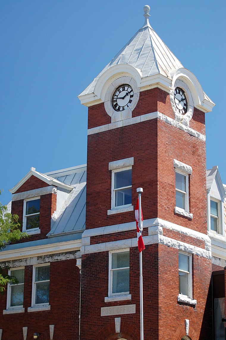
Photo: jvetterli, CC BY-SA 2.0.
Port Perry is a community located in Scugog, Ontario, Canada.
Scugog

Photo: Camera Eye Photography, CC BY 2.0.
Scugog is a township of about 22,000 people in the Durham region of the Greater Toronto Area, in Ontario.
Myrtle Station
Hamlet
Myrtle Station is a community in the Town of Whitby, Durham Region, Ontario, Canada. Myrtle Station is situated 9 km south of Port Perry.
Port Perry
- Type: Area
- Location: Ontario, Canada, North America
- View on OpenStreetMap
Latitude
44.10012° or 44° 6' 0" northLongitude
-78.94957° or 78° 56' 59" westElevation
268 metres (879 feet)Open Location Code
87P34322+25GeoNames ID
6111986Port Perry Satellite Map
© OpenStreetMap, Mapbox and Maxar
Other Places Named Port Perry
Localities in the Area
- Highland BeachLocality
- Port View BeachLocality
- Prince AlbertArea
- Gerrow's BeachLocality, 3 km northeast
- ManchesterHamlet, 3½ km southwest
Landmarks in the Area
- Stephenson PointPoint, 6 km northeast
- Platten IslandIsland, 8 km northeast
- Pine PointPoint, 9 km northeast
- Seven Mile IslandIsland, 9 km north
- Scugog IslandIsland, 9 km northeast
Escape to a Random Place
Discover other destinations in the world.
About Mapcarta. Thanks to Mapbox for providing amazing maps. Text is available under the CC BY-SA 4.0 license, excluding photos, directions and the map. Photo: Wikimedia, CC BY-SA 2.0.