Explore GIS data at LINZ Data Service
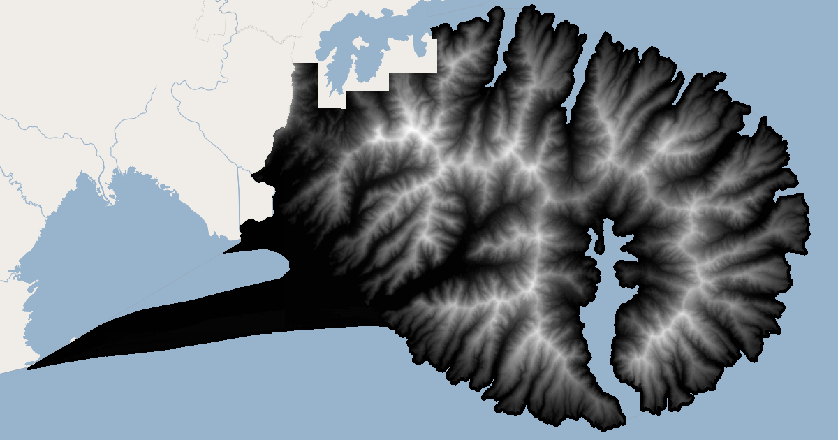
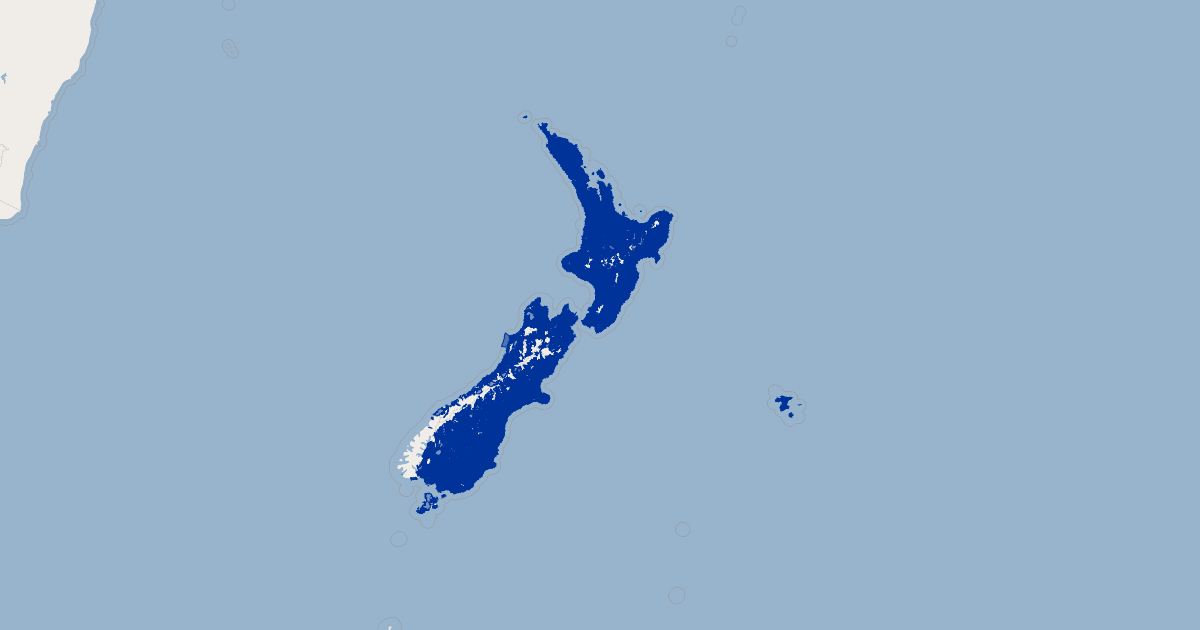
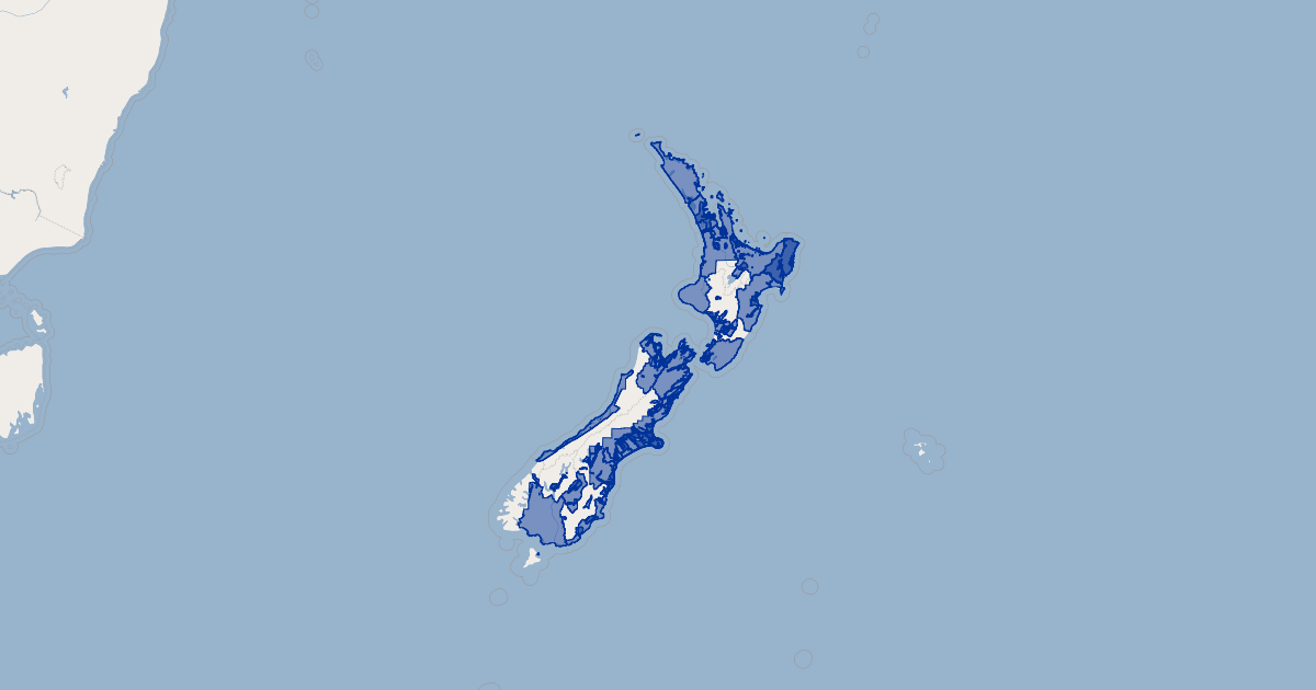
This layer contains the DEM for LiDAR data for Banks Peninsula in the Canterbury region, captured between 18 February 2023 and 15 August 2023.
-
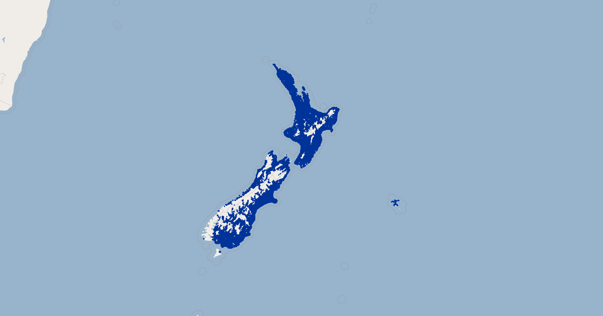
The DSM is available as layer Canterbury - Banks Peninsula LiDAR 1m DSM (2023).
-
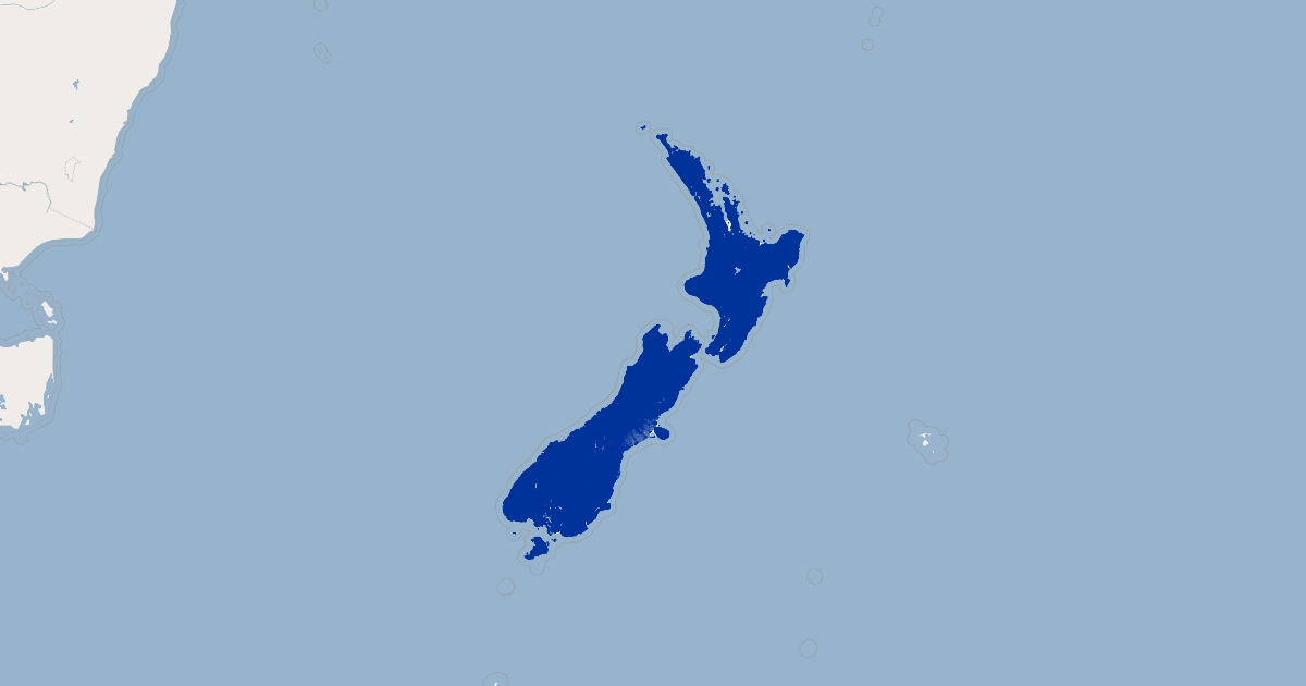
The LAS point cloud is available as layer Canterbury - Banks Peninsula LiDAR Point Cloud (2023).
-
The index tiles are available as layer Canterbury - Banks Peninsula LiDAR Index Tiles (2023).
-
The vendor project report is available for download from Banks Peninsula LiDAR 2023 Survey Report.
LiDAR was captured for Environment Canterbury Regional Council by Landpro Ltd between 18 February 2023 and 15 August 2023. These datasets were generated by Landpro Ltd and their subcontractors. Data management and distribution is by Toitū Te Whenua Land Information New Zealand.
Data comprises:
-
DEM: tif or asc tiles in NZTM2000 projection, tiled into a 1:1,000 tile layout
-
DSM: tif or asc tiles in NZTM2000 projection, tiled into a 1:1,000 tile layout
-
Point cloud: las tiles in NZTM2000 projection, tiled into a 1:1,000 tile layout
Pulse density specification is at a minimum of 4 pulses/square metre.
Vertical Accuracy Specification is +/- 0.2m (95%)
Horizontal Accuracy Specification is +/- 1.0m (95%)
Vertical datum is NZVD2016.