Laughton
Laughton is a village and civil parish in the Wealden district of East Sussex, England. The village is located five miles east of Lewes, at a junction on the minor road to Hailsham. It appears in the Domesday Book, and there are Roman remains nearby.Photo: Simon Carey, CC BY-SA 2.0.
Notable Places in the Area
Bentley Wildfowl and Motor Museum
Museum

Photo: MilborneOne, CC BY-SA 3.0.
The Bentley Wildfowl and Motor Museum was a visitor attraction near Halland, East Sussex, England. Bentley Wildfowl and Motor Museum is situated 2 miles northwest of Laughton.
The Parish Church
Church

Photo: Stephen Dawson, CC BY-SA 2.0.
The Parish Church is situated 2 miles northeast of Laughton.
The Parish Church of St John the Baptist
Church
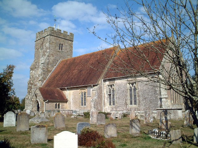
Photo: Pauline Kennard, CC BY-SA 2.0.
The Parish Church of St John the Baptist is situated 2 miles south of Laughton.
Localities in the Area
Ripe
Village

Photo: Michael FORD, CC BY-SA 2.0.
Ripe is a village situated 2 miles south of Laughton.
Golden Cross
Village
Golden Cross is a small village in the Wealden district of East Sussex, England. Golden Cross is situated 2½ miles east of Laughton.
East Hoathly
Village

Photo: The Voice of Hassocks, CC0.
East Hoathly is a village situated 2½ miles northeast of Laughton.
Laughton
- Type: Village
- Description: village and civil parish in the Wealden District of East Sussex, England
- Categories: civil parish and locality
- Location: Laughton, Wealden District, East Sussex, South East England, England, United Kingdom, Britain and Ireland, Europe
- View on OpenStreetMap
Latitude
50.89899° or 50° 53' 56" northLongitude
0.13438° or 0° 8' 4" eastElevation
59 feet (18 metres)United Nations Location Code
GB LUHOpen Location Code
9F22V4XM+HQOpenStreetMap ID
node 1956565502OpenStreetMap Feature
place=villageGeoNames ID
2644814Wikidata ID
Q1961167Laughton Satellite Map
© OpenStreetMap, Mapbox and Maxar
Also Known As
- Cebuano: Laughton
- Chinese: 劳顿
- Dutch: Laughton
- English: Laughton, East Sussex
- French: Laughton
- Hebrew: לאפטון
- Irish: Laughton, Sussex Thoir
- Italian: Laughton
- Japanese: ロートン
- Ladin: Laughton (Sussex)
- Ladin: Laughton
- Persian: لاتون، ساسکس شرقی
- Polish: Laughton
- Russian: Лоутон
- Swedish: Laughton, East Sussex
- Swedish: Laughton
- Turkish: Laughton, East Sussex
- Ukrainian: Лоутон (східний Сассекс)
- Welsh: Laughton, Dwyrain Sussex
- Welsh: Laughton
Other Places Named Laughton
In the Area
Laughton is situated close to the localities Shortgate and Mark Cross.
Localities
- WhitesmithVillage, 1½ miles east
- Holmes's HillHamlet, 2 miles east
- HallandVillage, 2 miles north
- Eckington CornerLocality, 2 miles south
- Burgh HillLocality, 2½ miles east
- Ashton GreenHamlet, 2½ miles west
Landmarks
- Laughton Post OfficePost office
- Laughton Community Primary SchoolSchool
- Brickhurst WoodForest
- All Saints Church LaughtonChurch
- Laughton Common WoodForest
- Bowen WoodForest
Popular Destinations in East Sussex
Escape to a Random Place
About Mapcarta. Thanks to Mapbox for providing amazing maps. Data © OpenStreetMap contributors and available under the Open Database License. Text is available under the CC BY-SA 4.0 license, excluding photos, directions and the map. Description text is based on the Wikipdia page Laughton. Photo: Simon Carey, CC BY-SA 2.0.