Scientists find evidence of ancient waterway beside Egypt’s pyramids
A 40-mile stretch of a long-gone branch of the Nile may explain why the ancient monuments were built where they were.
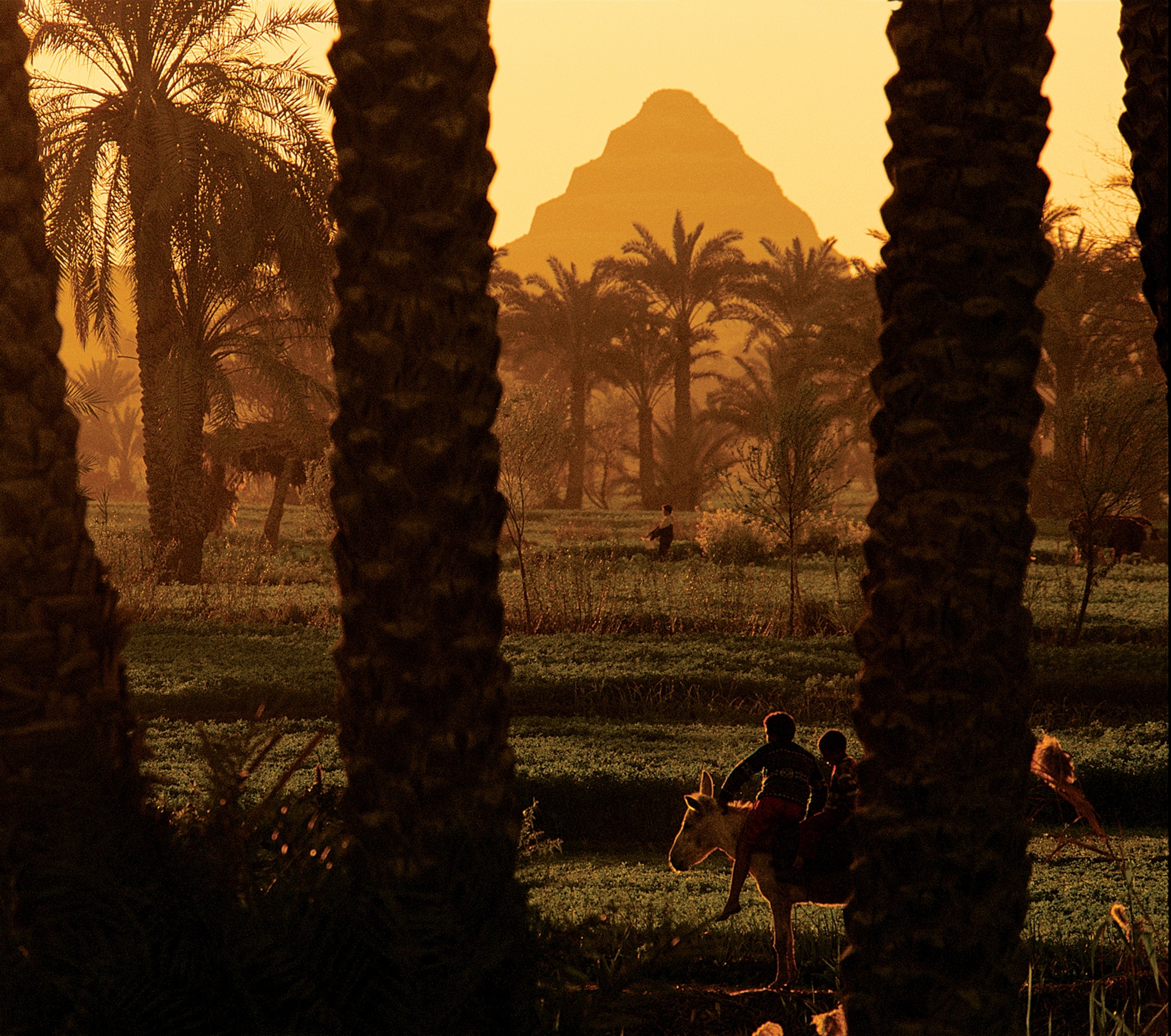
The pyramids of Giza now stand amid a desert landscape of sand and rock, miles from the lush banks of the Nile.
Their modern isolation enhances the sense of majestic relics from a vanished kingdom, but it wasn’t always so: A new study suggests the pyramids once stood beside a major branch of the Nile that was swarming with boats.
“We think this was a superhighway for ancient Egypt,” says geomorphologist Eman Ghoneim, a professor at the University of North Carolina Wilmington.
Phantom River
Today, 31 pyramids built between the 27th and 18th centuries B.C.—almost 1,000 years—are strung along the foothills of Egypt’s Western Desert plateau. Researchers have long suspected that they were built beside a dried-up channel of the Nile, and earlier studies have found evidence of a waterway at different sites.
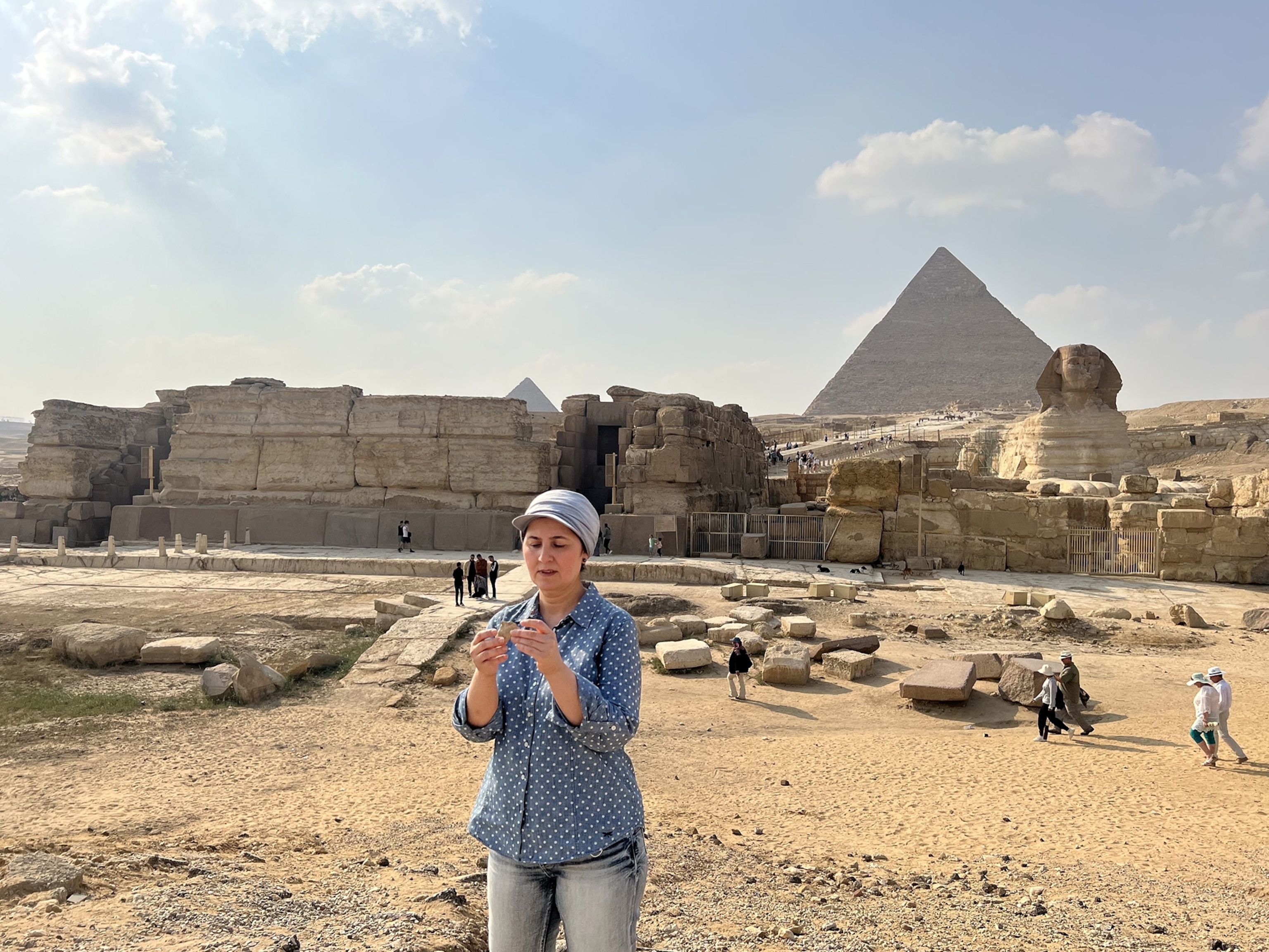
But Ghoneim and her colleagues are the first to map part of its ancient course—and they’ve discovered it was much larger than they expected.
Their study, published today in the journal Communications Earth & Environment, describes the detection of the now-vanished branch of the Nile in satellite photographs by Ghoneim’s expert eye; and their geophysical verification of its path.
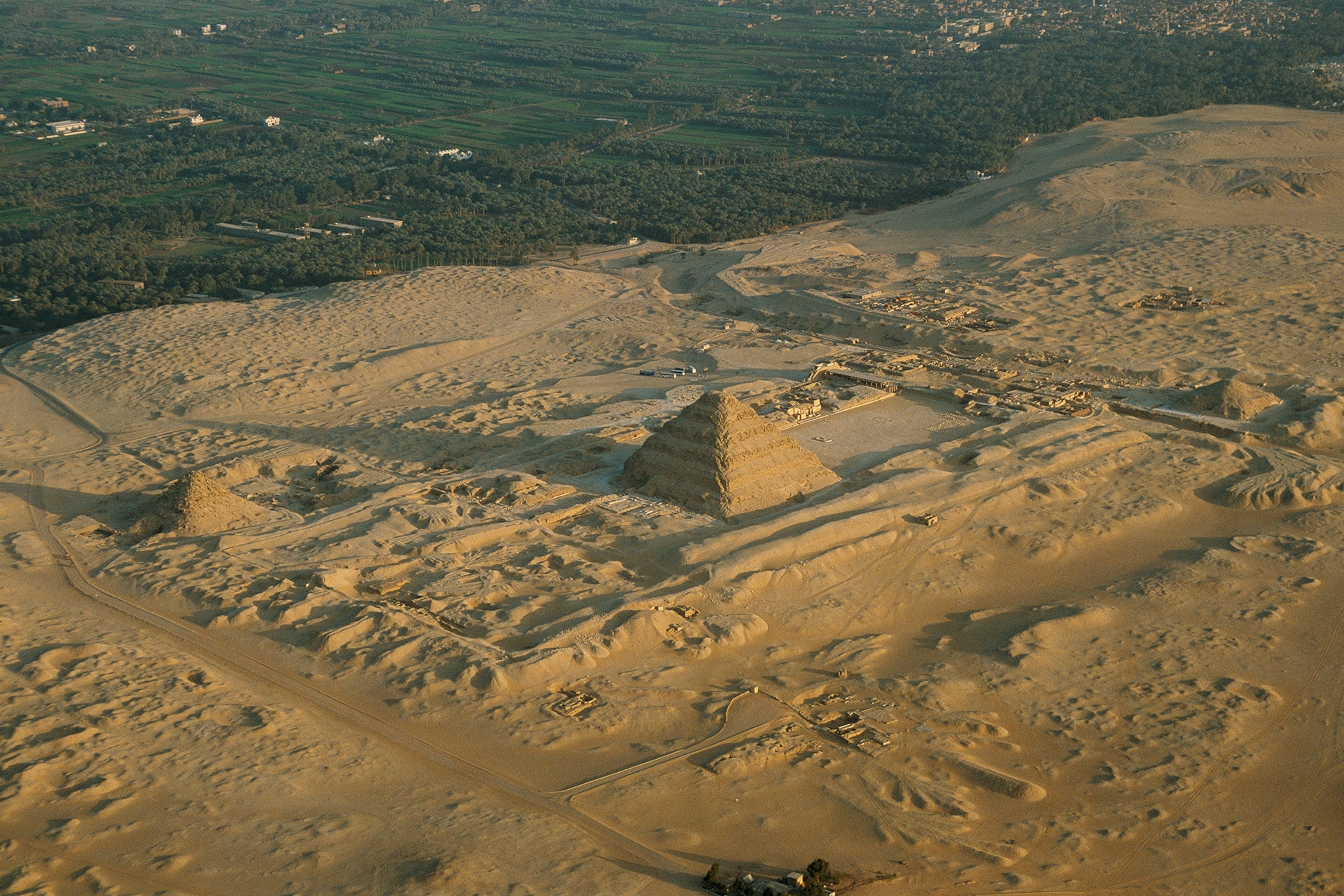
The result is a map of a 40-mile stretch of the lost waterway between the town of Lisht, some 30 miles south of Cairo, and the site of the Giza pyramids.
Only a small, watery stretch still survives today as the Bahr el-Libeini canal near the Abu Sir pyramids, but this channel of the Nile was once more than half a mile wide in places and sometimes more than 80 feet deep. The authors of the latest study have named it the Ahramat branch, from the Arabic word for pyramids.
Satellites and sand
Ghoneim, who grew up in Egypt, first saw traces of the Ahramat branch about two years ago in multispectral satellite photographs, which display data captured in wavelengths of light that the eye cannot see. She also examined digital elevation models extracted from the satellite radar data, to determine the heights of landscape features and anomalies.
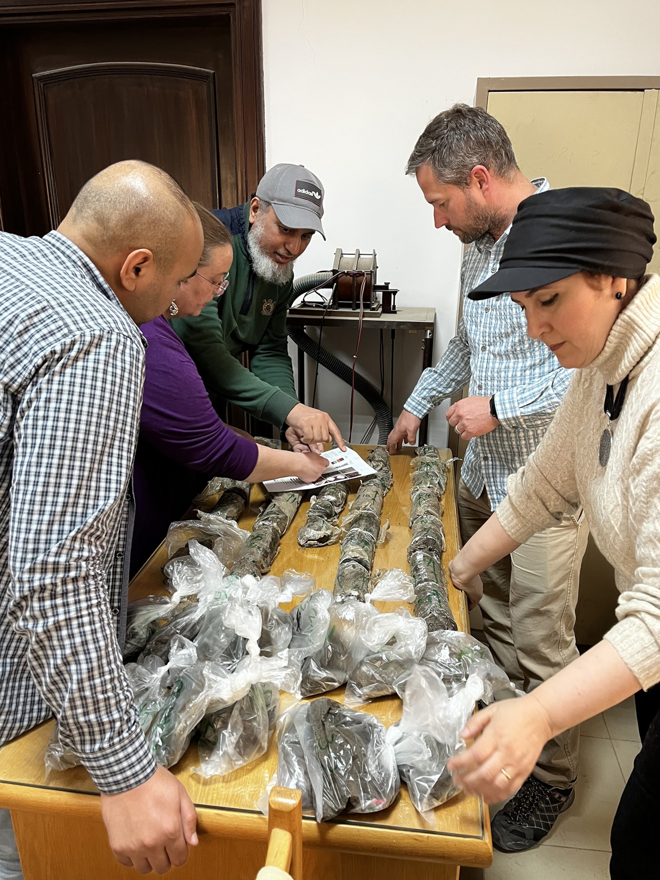
Following her training as a geomorphologist—an expert on the processes that change a landscape—Ghoneim identified signs of the long-lost waterway now covered by desert sands and many centuries of agricultural development.
Such satellite data wasn’t available before, and so this seems to be the first time that a significant length of the vanished river channel has been identified.
“The actual channel itself—the width, the depth, the length, and its proximity to the pyramid fields—is something new,” Ghoneim says.
Wild Nile
Egyptologists have developed a rough chronology of early human development in the Nile valley.
The region transformed from a desert to a savannah-like environment about 12,000 years ago, due to a rise in global sea level after the last phase of the last Ice Age.
From around 12,000 to about 5,000 years ago, much of the Nile valley was inhospitable because of the high water levels and swampy environment—what’s known as the “Wild Nile” period, says University of Cambridge geoarchaeologist Judith Bunbury, who wasn’t involved in the latest study.
People only started entering the Nile valley after that, perhaps to fish, she says; and by about 2700 B.C. the various branches of the Nile had become “tame” enough for the founding of Egypt’s Old Kingdom, although widespread flooding was still frequent.
Building the pyramids
Ghoneim says the Ahramat Branch must have been an important waterway during the Old Kingdom until about 2200 B.C; knowing more about its route will help archaeologists target and protect important cultural sites.
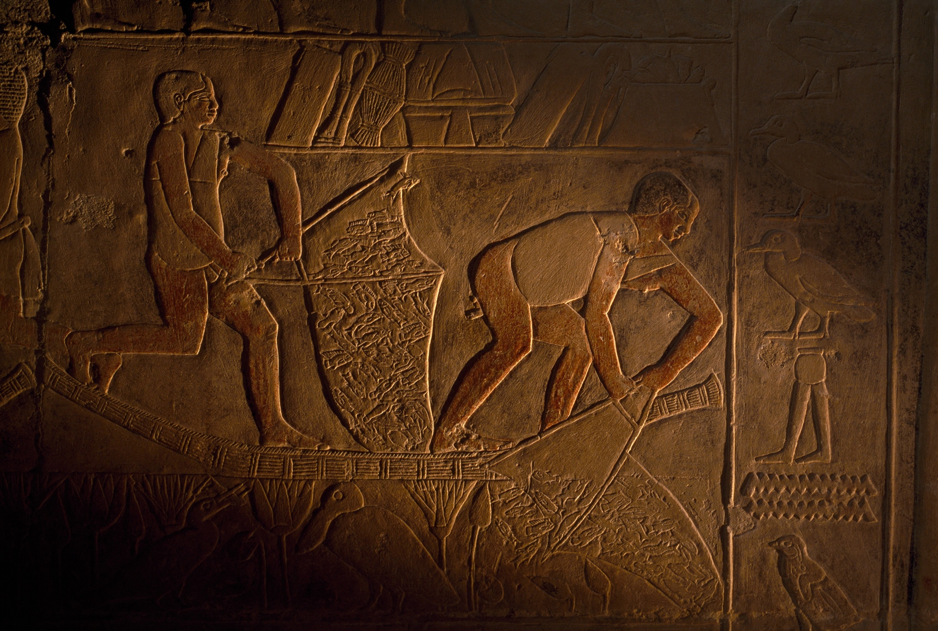
Importantly, the river branch would have allowed boats to ferry construction materials for the many pyramids built at that time. “The ancient Egyptians needed a major waterway to transport very heavy building materials and workers to the pyramid sites,” Ghoneim says. “So they used this branch like a highway.”
In some cases, the Ahramat branch ran only a few hundred feet from the pyramids themselves. Many pyramids were connected by causeways to temples on the ancient riverbank that may have served as harbors.
The vast size of the Ahramat branch, revealed during months of geophysical surveys and soil samples at selected spots, surprised the researchers.
It was typically more than a quarter of a mile across, and their study suggests it widened at the northern end to form an inlet near Giza.
“It’s a big branch, similar to the width of the current Nile,” Ghoneim says. “And its proximity to the pyramid sites implies a functional waterway of great importance during ancient Egypt.”
Two-way traffic
Today, however, almost the entire Ahramat branch has disappeared; the study suggests it started moving east and silting up by about 2000 B.C., perhaps from geological activity and windblown sand from the Western Desert.
The researchers found that pyramids built during Egypt’s Middle Kingdom, from about 2040 until about 1780 B.C., were built further east than those built during the Old Kingdom—presumably to be closer to the Ahramat branch as it migrated eastwards.
But Bunbury thinks the silting process could have been worsened by the pyramid-building activities themselves, and that it may have started even earlier, by about 2500 B.C.
At that time the Shepseskaf Masataba—a flat-roofed tomb, rather than a full pyramid—was built between Saqqara and Dahshur; and the diminishing Ahramat branch could explain why it was hurried: “It was a bit of a minimal job, because water transport was more difficult,” Bunbury says.
University of Marseilles palynologist Hader Sheisha also wasn’t involved in the latest study; but she has examined ancient environmental evidence for a water channel near Giza, which may correspond to the Ahramat branch.
Sheisha notes the size and depth of the Ahramat branch challenge some existing theories, such as the idea that the waterway supplying the pyramid sites was narrow and shallow along its length, and therefore probably over-crowded with boat traffic. But Ghoneim believes that the Ahramat branch would have been large enough for boat traffic in both directions.
The research team’s next step will be to radiocarbon date the remains of plants and seashells in buried sediments to fix the ages of the Ahramat branch over the time it was in use; and to continue to map the waterway north and the south beyond its 40-mile stretch beside the pyramids.
“This part of the branch is located in northern Egypt—we still have middle Egypt and southern Egypt that have not been covered yet,” Ghoneim says. “We are going to expand our analysis to see where this branch started, probably near the border with Sudan.”
Related Topics
You May Also Like
Go Further
Animals
- These pelicans are starving to death—despite plenty to eatThese pelicans are starving to death—despite plenty to eat
- The world's largest fish are vanishing without a traceThe world's largest fish are vanishing without a trace
- We finally know how cockroaches conquered the worldWe finally know how cockroaches conquered the world
- Why America's 4,000 native bees need their day in the sunWhy America's 4,000 native bees need their day in the sun
- Crowdsourcing an anti-poaching movement in South Africa
- Paid Content
Crowdsourcing an anti-poaching movement in South Africa
Environment
- 2024 hurricane season forecasted to be record-breaking year2024 hurricane season forecasted to be record-breaking year
- Connecting a new generation with South Africa’s iconic species
- Paid Content
Connecting a new generation with South Africa’s iconic species - These images will help you see coral reefs in a whole new wayThese images will help you see coral reefs in a whole new way
- What rising temps in the Gulf of Maine mean for wildlifeWhat rising temps in the Gulf of Maine mean for wildlife
- He’s called ‘omacha,’ a dolphin that transforms into a man. Why?He’s called ‘omacha,’ a dolphin that transforms into a man. Why?
History & Culture
- I wrote this article with a 18th century quill. I recommend it.I wrote this article with a 18th century quill. I recommend it.
- Why this Bronze Age village became known as ‘Britain’s Pompeii’Why this Bronze Age village became known as ‘Britain’s Pompeii’
- These modern soldiers put Bronze Age armor to the testThese modern soldiers put Bronze Age armor to the test
- Should couples normalize sleeping in separate beds?Should couples normalize sleeping in separate beds?
- They were rock stars of paleontology—and their feud was legendaryThey were rock stars of paleontology—and their feud was legendary
Science
- Tuberculosis is rising in the U.S. again. How did we get here?Tuberculosis is rising in the U.S. again. How did we get here?
- Are ultra-processed foods as addictive as cigarettes?Are ultra-processed foods as addictive as cigarettes?
- Epidurals may do more than relieve pain—they could save livesEpidurals may do more than relieve pain—they could save lives
- Why the world's oldest sport is still one of the best exercisesWhy the world's oldest sport is still one of the best exercises
Travel
- How to plan the ultimate island-hopping adventure in ScotlandHow to plan the ultimate island-hopping adventure in Scotland
- Why this Scottish island is best explored by waterWhy this Scottish island is best explored by water
- Return to the wild: Connecting with Canada's heritage
- Paid Content
Return to the wild: Connecting with Canada's heritage - A practical guide to cycling Slovenia Green RoutesA practical guide to cycling Slovenia Green Routes
- This road trip journeys through Albania's wild, blue heartThis road trip journeys through Albania's wild, blue heart


