Welwick
Welwick is a village and civil parish in the East Riding of Yorkshire, England, in an area known as Holderness. It is situated approximately 4 miles south of the town of Withernsea and 2 miles south-east of the village of Patrington on the B1445 road from Patrington to Easington.Photo: Keith D, CC BY-SA 3.0.
Notable Places in the Area
St Mary's Church, Welwick
Church
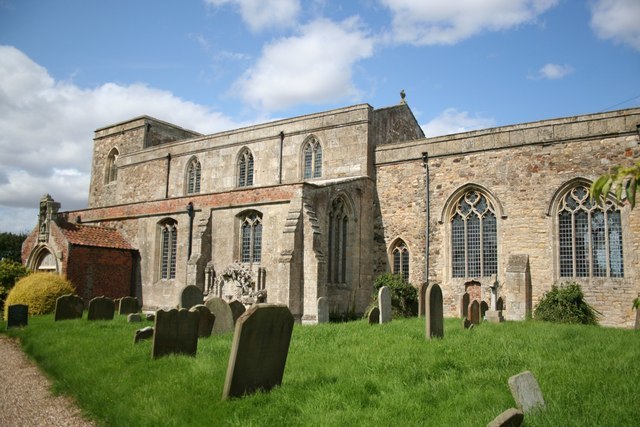
Photo: Richard Croft, CC BY-SA 2.0.
53°40′9.58″N 0°01′44.71″E / 53.6693278°N 0.0290861°ESt Mary's Church is an Anglican parish church in the English village of Welwick in the East Riding of Yorkshire.
St Patrick's Church, Patrington
Church
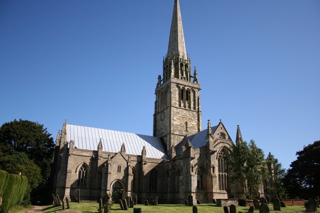
Photo: Richard Croft, CC BY-SA 2.0.
St Patrick's Church, Patrington is an Anglican parish church located in Patrington, East Riding of Yorkshire, England. St Patrick's Church, Patrington is situated 2 miles northwest of Welwick.
Church of St Nicholas
Church

Photo: Richard Croft, CC BY-SA 2.0.
Church of St Nicholas is situated 2 miles northeast of Welwick.
Localities in the Area
Weeton
Hamlet
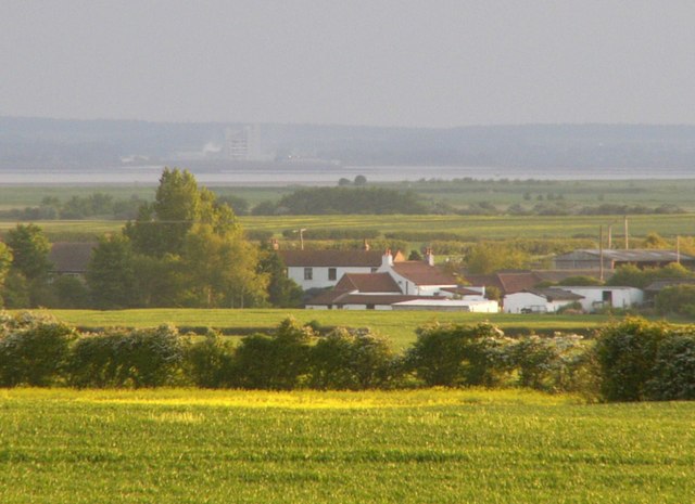
Photo: James F Robinson, CC BY-SA 2.0.
Weeton is a hamlet in the East Riding of Yorkshire, England, in an area known as Holderness.
Patrington
Village

Photo: Keith D, CC BY-SA 3.0.
Patrington is a large village and civil parish in the East Riding of Yorkshire, England, in an area… Patrington is situated 2 miles northwest of Welwick.
Patrington Haven
Village
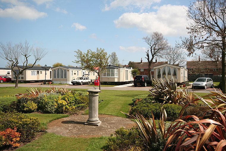
Photo: Patrington Haven, Public domain.
Patrington Haven is a hamlet in the East Riding of Yorkshire, England, in an area known as Holderness. Patrington Haven is situated 2½ miles west of Welwick.
Welwick
- Type: Village
- Description: village and civil parish in the East Riding of Yorkshire, England
- Categories: civil parish and locality
- Location: Welwick, East Yorkshire, Yorkshire, England, United Kingdom, Britain and Ireland, Europe
- View on OpenStreetMap
Latitude
53.66875° or 53° 40' 8" northLongitude
0.03213° or 0° 1' 56" eastElevation
43 feet (13 metres)Open Location Code
9F52M29J+GVOpenStreetMap ID
node 104623483OpenStreetMap Feature
place=villageWelwick Satellite Map
© OpenStreetMap, Mapbox and Maxar
Also Known As
- Cebuano: Welwick
- Dutch: Welwick
- English: Welwick, East Riding of Yorkshire
- French: Welwick
- Irish: Welwick
- Ladin: Welwick
- Old English (ca. 450-1100): Welwīc
- Polish: Welwick
- Swedish: Welwick
- Turkish: Welwick
Other Places Named Welwick
Localities in the Area
- Longmar HillLocality
- Beacon HillLocality
- Welwick BankLocality
- Oxlands HillLocality
- Weeton BankLocality
Landmarks in the Area
- Lowclose PlantationForest
- Houseclose Plantation
- Welwick SaltmarshNature reserve
- Woods PlantationForest
- Patrington Haven Equestrian Centre1½ miles northwest
Popular Destinations in East Yorkshire
Discover Kingston upon Hull, Beverley, Bridlington and Hornsea.
Escape to a Random Place
Discover other destinations in the world.
About Mapcarta. Thanks to Mapbox for providing amazing maps. Data © OpenStreetMap contributors and available under the Open Database License. Text is available under the CC BY-SA 4.0 license, excluding photos, directions and the map. Description text is based on the Wikipdia page Welwick. Photo: Keith D, CC BY-SA 3.0.